May 23 – June 4, 2021
This blogisode features highlights of our wanderings through the Sierra Nevada’s along the 395 northern corridor including June Lakes, Lower Lee Vinings Campground, Tioga Pass Road, Yosemite National Park, Bridgeport, and Grover Hot Springs State Park.
Rest assured that we are chronicling our journey daily through words and photos but we simply haven’t had the down time to complete a TWT blogisode in a while. Our days over the past few weeks have been spent enjoying a caravan slash sloverlanding experience with Lysette’s sister and bro-in-law who are also full time travelers. Together with them, we are enjoying the cool coastal rainforest climate of the northern coast of California, eating as much seafood as we can rustle away from all the seals, sea lions, osprey, and merchants and all the while, not working on the blog. We promise not to try to catch you up in one edition as that would be a novel so as of now, please enjoy our escapades and our final days in the eastern Sierra’s.
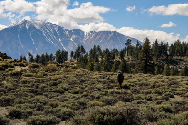
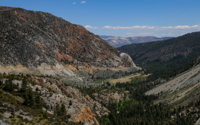
I balked for years at John Muir’s comment on the Sierra’s being his favorite mountains, like maybe those were simply the ones he was in at the time when he said it. How could anything compare to the Northern Cascades, Rockies, or Appalachians? But after experiencing the Sierras, it is understandable how he could play favorites to this place. Not only are they awesome to simply see, but there is so much to do here, trails, rivers, huge walls of granite, and wildlife. The TWT team loved the east side of Sierra’s with their striking features and low population. We had so many great experiences running, cycling, hiking the area, making for some incredible memories for us that we’d now like to share with you.
Travel Journal
June Lakes
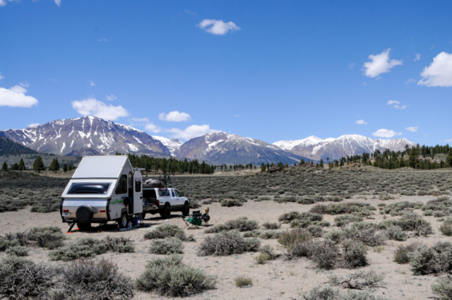
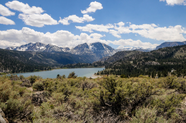
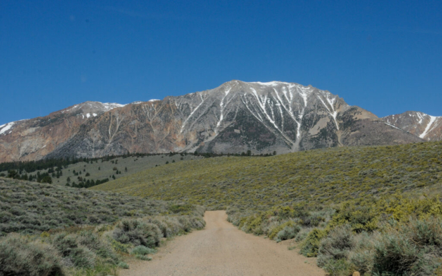
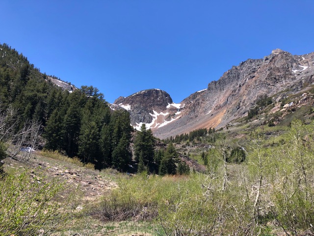
After leaving Tuttle Creek Campground, we made a quick return visit to the Highlands RV Park in Bishop for needed showers, provisions, and a dinner from the Thai Thai restaurant at the airport. We left just as quickly heading north along the 395. The target campsite was a place recommended to us by a camp neighbor and sits inside BLM, OHV (off highway vehicle) land just across the street from the June Lakes intersection. We easily found the turn and upon arrival, quickly noted the stunning views of the high mountain range sitting in front of us. After setting up camp, we set off for a drive along the 12-mile stretch of road known as the June Lakes Loop. You pass three lakes (June, Silver, and Grant, each with completely different characteristics ranging from alpine, small fishing hole, to larger arid lake with few trees. The first two lakes had small towns, lodges, various campgrounds and were mostly there to support lake life and fishing. The last one had only boat ramps and the water there appeared low.
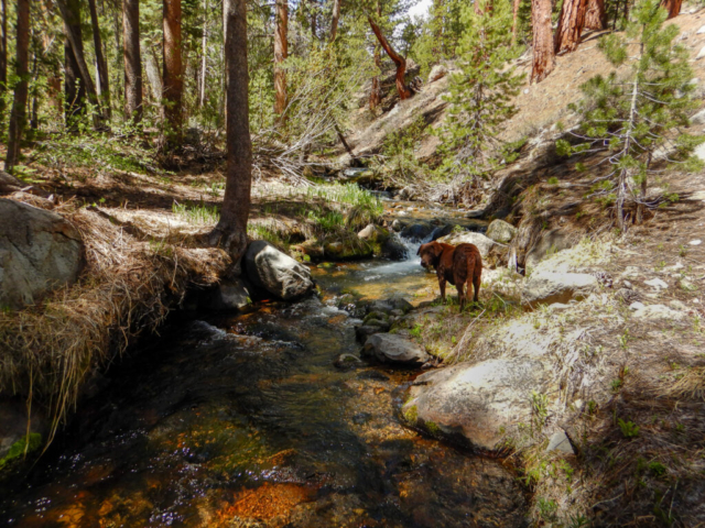
The next day we planned to do some hikes in the Mammoth area since it was early in the week and that is the most popular place along this stretch of California, USA. The hikes were recommended by a friend in Golden as iffy – possibly not open due to early season snow fall levels. Of course we didn’t check with the NFS to see if this was the case as closing trails because of snow never occurred to me. In Colorado, they don’t close trail access due to snow as people simply adjust their winter equipment to meet conditions. Well not here. Featured trails, roads to trailheads, and whatnots were all still closed for the season. We stopped at the ranger station but they were also closed, but just on Tuesday and Wednesday, not because of conditions. So we set off to find some other fun. We went in search of Glass Creek Meadow trail which was also recommended by my friend from Golden. After rolling down a forest service road, we found an unmarked trail that we believed to be the right trail but as it would turn out, we chose the wrong direction. Even so, we enjoyed a few hours of hiking along a creek we believed to be Glass Creek. The creek was small with a good flow of water down small cascading falls and the best part was the silence as there was no one else there. In fact, the trail could have been a wildlife trail as it was lightly used and no foot traffic evident during our journey. Toohey certainly enjoyed the opportunity to have free range on the cool water.
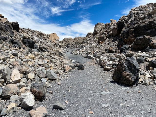
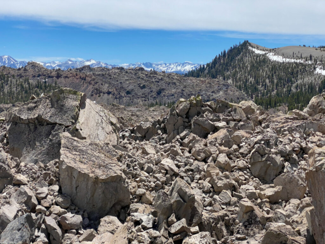
We left and moved the team about a mile back up the road to Obsidian Dome. This nasty looking huge rock pile was the result of a volcanic eruption dating back to the summer of 1350. The rock pile is a mix of tan and black pumice rock that could file the calluses off the toughest feet. There was a road leading to the top and once there, all we saw was an endless pile of large boulders and a few rough pine trees that were lucky to find nutrients to survive. If not for several compressed paths of stone, this area would be difficult at best to hike. The other interesting thing is that this huge pile of rocks is bordered by a healthy undisturbed mountain forest. As if the two coexisted with each other over time but developed completely differently. Pretty cool.
The decision was made during the afternoon team meeting to move camp north to a National Forest Service campground along the 120, otherwise known as Tioga Pass Road. This road is the eastern entrance into Yosemite. Even though we don’t yet have a permit to enter the park, we still have access to lots of trails and whatnots located outside its border and it is only 15 miles from our existing camp. The decision to move was based on our current set up sitting along OHV trails which we thought would get busy and dusty, and the belief that we’d be more comfortable in a campground during the holiday weekend.
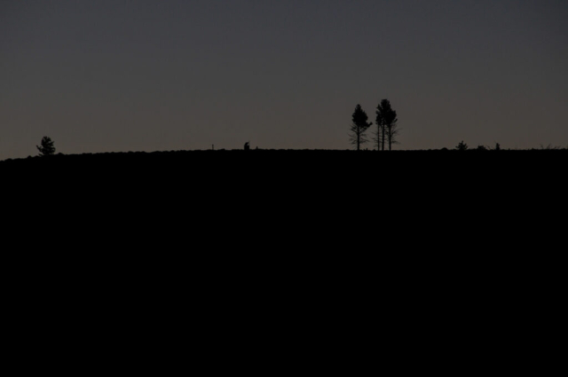
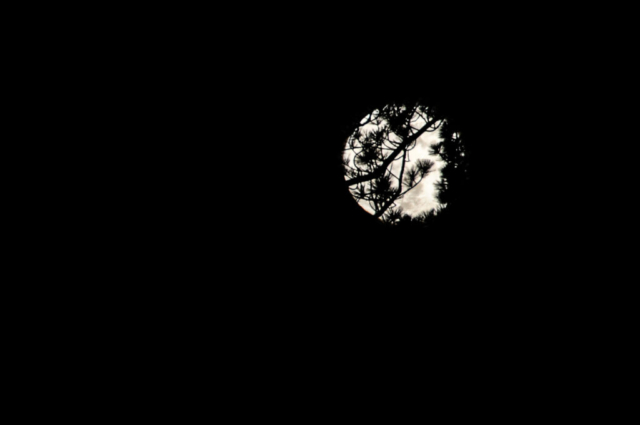
But first, our last night here was the Super Blood Flower Moon featuring a 4AM eclipse, giving it enough descriptive names to be its own flavored coffee drink at Starbucks. The full moon rising was amazing coming over the hills and trees. The moon disappeared behind the shadow of the earth as scheduled at 4AM, turning it a faded red color as if there were a filter placed over it. We quickly resumed cover beneath the warm blankets and slept with temperatures inside the trailer in the low 30’s.
Lower Lee Vining Campground and Whatnots
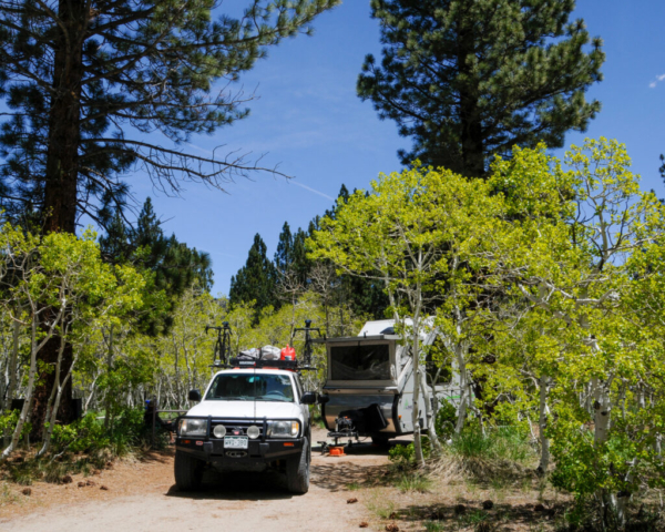
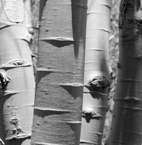
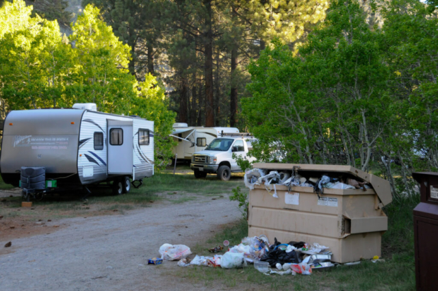
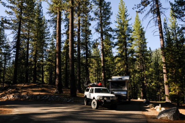
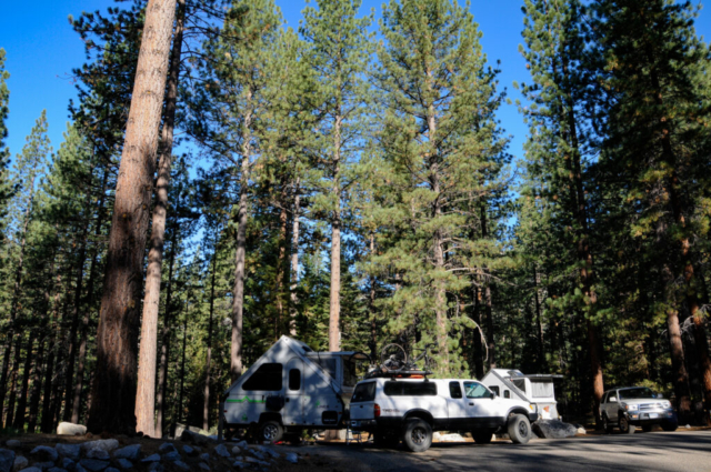
Our move to Lower Lee Vining campground was an easy event. To make it easier, the $14/night cost was cut in half when the camp host said we could use our annual national park pass for the half price discount. Any financial relief is appreciated on the Eastside as gas prices were well over $5 per gallon. We picked site 20 in the back loop underneath a large pine tree and surrounded by a grove of small aspen trees. To make matters better, the toilets and trash were just outside our camp making bear-scary midnight walks to the bathroom feel just a bit safer. Our camp host was a good guy and a great source of information from hikes, fishing, to a local spring for the purest mountain water. He also gave us the inside scoop for the holiday weekend about a large group who congregate every Memorial Day. One of their traditions is for the men to parade around the camp fire wearing woman’s clothes by which he was openly disturbed. We then watched as a vendor from Mammoth hauled in rental trailer after rental trailer, totaling 14 in all, and circling them all around us. Our interest and anxiety slowly rose wondering if we’d made a mistake by moving here. We’d later learn from one of the younger members that this gathering started ~40 years ago by 6 men, one being his dad, who came here from San Diego to fish and camp. The “chicken” dance is a tradition that started on the first trip and will occur on Saturday night following their chili cook off.
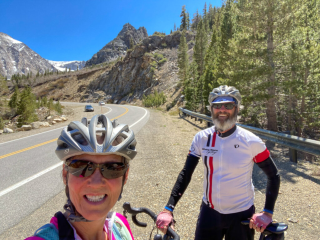
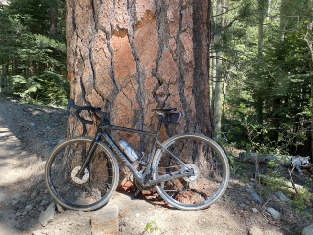
With camp set up, we decided to bike up Tioga Pass Road from camp. This is a steep mountain pass road with long sweeping turns and on the return, long straight downhill sections. The road hugs the canyon walls with the Lee Vining creek well below. We climbed the road to the only big switchback where the creek crosses beneath. There was a small sign sitting next to it indicating 9000 feet in elevation. We turned around here with the white knuckle descent ahead of us. It was sketchy, fun, with me steadily feathering my front and rear brake to make sure I always had some control over speed as the edgy, near death drop off the side of the road was ever present. We survived and enjoyed the event, returning to camp for an easy night while watching as car loads of other campers entered.
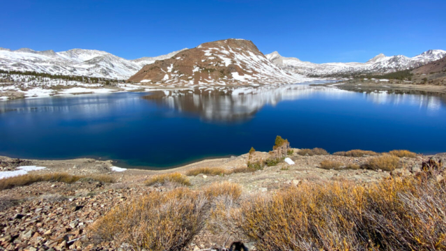
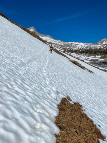
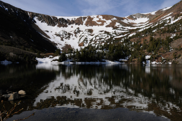
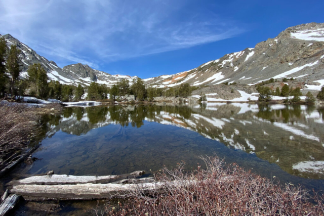
Our first full day here began with a run on the Saddlebag Lake Loop trail. This was reportedly still partially covered in snow but we weren’t deterred. We set off in a counter clockwise route based on what we could see of the trail from the lake, the west side was more snow covered and exposed than the east side. The first quarter mile was spotty snow, some post holing with water from the snow melt running down the trail. The snow was deep but packed enough that getting over it was no problem. The run started out exposed with no tree cover but soon turned into a high alpine event with trees, snow, and blue skies all while following the lake shore. The mountain scene across the lakes was high snow covered rocky mountains, adding enjoyment to the moment. The smell of fresh evergreen trees being carried by the clear clean mountain air was rejuvenating. The snow fields got larger towards the end of the lake and the river providing fresh water to the lake flowed strong. We did a short hike up the spur trail leading away from the lake but it was a snow covered canyon. As we turned back along the lake, the trail became difficult to find with the snow coverage. We talked to a photographer who said it was all passible for him but it might be slick as the day was warming up. The angle along the trail was steep with only the few boot prints from earlier hikers providing a line for the trail. It all became a bit sketchy. Lysette carried her micro spikes and put them on at this point, but mine were broken so the minimal traction on my trail shoes and my three points of contact were all I had. The movement now was slow while we passed along long stretches of snow banks. I made the decision after a few snow crossings to head down to the shore along an exposed rocky bit, giving me the security that if I slipped, I wouldn’t slide 500 feet to the lake. This was a good decision in the end as I lived, while Lysette stayed on the trail feeling more comfortable with the snow than the loose rocks.
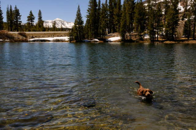
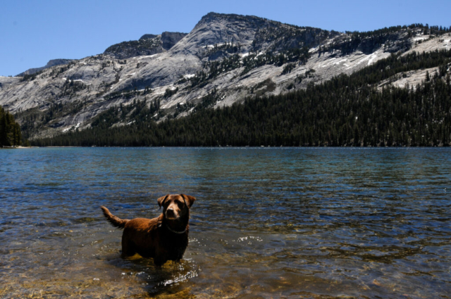
Having survived the day, we drove Toohey up the pass to a dog friendly nature hike around a lake. The quarter mile hike was empty of others but full of fun for the dog. He swam and chased sticks, rolled in the snow drifts, and pooped long grassy things from all the grass he’d consumed the previous day.
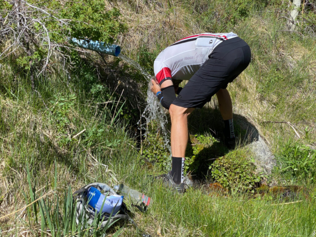
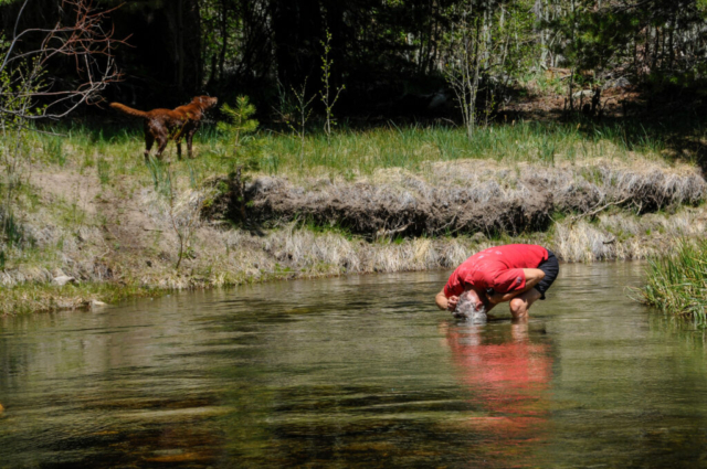
The afternoon event was a bike ride up the small canyon road that went along a few campgrounds beside the Lee Vining Creek to a power station at the end of the road. The ride followed open meadows, aspen groves, and pines so large their trucks were as wide as our bikes. We saw cascading falls and beautiful scenery all the way up the slightly graded road. The return was fast and fun, a manageable descent that you could just let go and not worry about the speed. As we approached our turn for the camp, I recalled the fresh water spring on the other side of the road. We turned left and found it coming out of a pipe on the grassy hill side. The water was clear and cold, flowing heavily. I pulled off my helmet, hat and gloves, and took a quick wash in it which felt amazing against the hot sun. I filled my water bottle to check the clarity and it was as advertised, pure and clear. I was still a bit apprehensive about drinking it with thoughts of the consequences if our camp host was even slightly wrong.
The campground continued to fill through out the day with a combination of the chicken dance party members and others. By dusk, it was full of light sounds of music, the occasional car, a dog bark, and three young kids being loud. The ring leader, a young girl, cussing like a sailor as she ran through the trees, played while their free-roam parents sat quietly out of view at their campsite. The three played hide and seek in the port-o-potties, king of the mountain on the metal trash bins, and ran through the woods around our campsite yelling and chasing. We both almost said something at various times as the conflict over letting this be a public park where kids should play and the annoyance of their loud screams and foul language while their parents had all the peace and quiet grew. In the end, neither of us said anything but wondered whether we should have stayed at the OHV site.
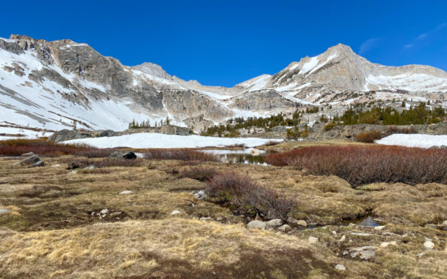
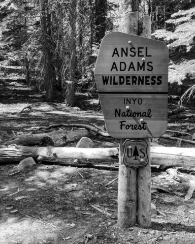
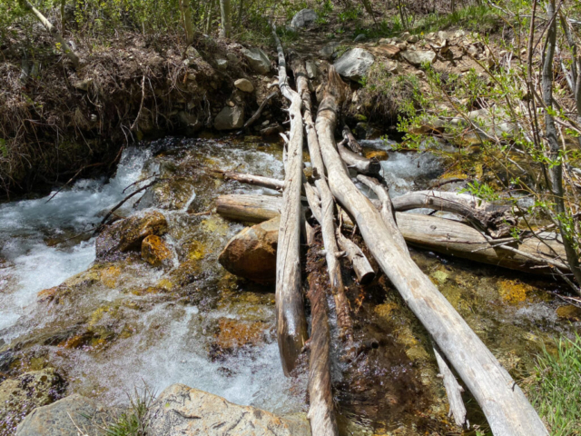
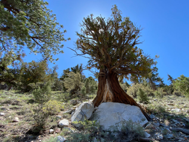
We set off for Blood Canyon the next morning for a hike we found while driving the June Lake Loop on a previous outing. We asked several locals but none knew much about it which could be good or bad. The hike from Lysette’s research started at the Walker Lake Trailhead and headed up a canyon. And who could resist a name like Blood Canyon. The trailhead parking lot was at the end of a long forest service road in decent condition, through open arid meadows, tall pine tree forest, up and over a ridge. There were only three trucks in the parking lot, one with a camper. The hike started on a short steep uphill of a 100 yards or so to views of Walker Lake way down below. It then went steeply downhill to the lake. And the laws of what goes up must come down work in the same counter direction giving us pause as to what will lies at the end of the day. It was a serious downhill grade to the shoreline of the lake before giving some relief as it followed the river back up into the canyon. There was a river crossing early on with a good sturdy log bridge. The trail gradually wound through aspen groves and pine forest, until it started a steep uphill through big boulders. The river running alongside of us provided a constant sound and sights of heavily flowing cascading falls. There were few footprints and the trail looked as if it were just cleared of fallen trees. Signs pointed us in the direction of Mona Pass which we didn’t expect to make based on time, distance, and the likelihood of snow covering the trail at that elevation. We passed into the Ansel Adams Wilderness and trudged on. We eventual got to a stream crossing with unstable access across. I demonstrate a to and fro passage of the existing tree bridge using three points of contact but in the end we decided it was a good turning point. We got back to the lakeshore and faced the final ascent back up the steep hill which was tough but manageable. We stopped several times to take note of the amazing old large girth juniper trees along the trail.
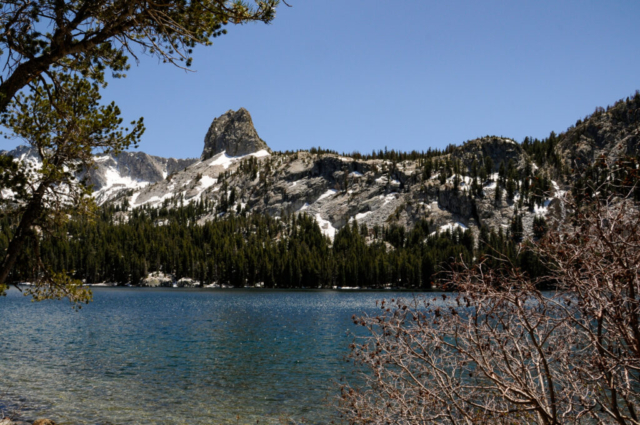
We spent some time in the parking lot talking to the couple who were camping in the truck camper. As it turned out, they own and operate a lodge in Mammoth and told us that the gates were now open to the lakes so we should check it out. This worked well with our plans as we were heading to Mammoth for provisions. We drove up finding the gates open and the place crawling. The views from the lakes were beautiful with the Crystal Lake Crag being a notable feature. The area was beautiful and understandable why so many venture here.
The Saturday of a Memorial Day weekend is expected to be busy in beautiful places. Using this as a guide for the day, we chose to drive first and early to the Virginia Lakes area north of Lee Vinings. The information on the Virginia Lake hike suggested that you get a huge bang for your nature buck over a short distance as you climb by a series of gorgeous alpine lakes. All this played out as we passed three lakes along the run until reaching a wide water crossing with an overhanging snow bank on the other side. It was here we decided to turn back to get Toohey for some trail, water, and snow fun.
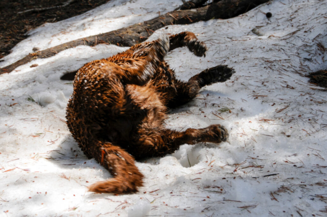
We got back to the truck and found Toohey comfortable but willing to take a short hike to the first lake. There he entered the water and waited for the stick toss which soon followed. This repeated a few times before we decided to head into the woods in search of a snow pile. We quickly found one and he headed over, rolled, scratched, and ate snow. His happy thing.
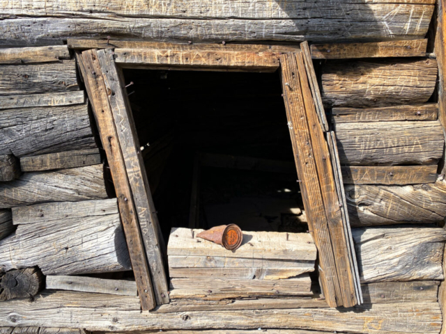
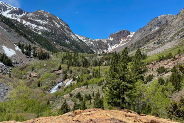
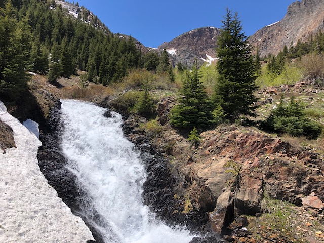
Our next stop was Lundy Lake and a hike that actually started well beyond the lake, a mile or so up a gravel road. There were six cars in the small parking lot which seemed light for a holiday weekend. The hike started on a single track trail through a damaged old mudslide area then up and over large rocky outcroppings, all following a river with heavy flow. As a side, the rock in this valley and along the Sierras is colorful with this hike having red and brown tints that along with the granite grey, evergreens, and pure blue sky create a nice color pallet. We approached a brisk flowing stream with several logs as bridges near the first large fall. The trail bobbed and weaved through various green foliage, grasses, and trees. There were a few other creek crossings, young and old aspen groves, and an old log cabin. Most of the terrain through here was had a mild uphill grade making for an enjoyable running experience. I eventually came upon the featured waterfall, dropping with enough water and force to wear a significant channel in the base of the rock where the two collided. Looking up the creek, I could see other sections of the waterfall and more layers of earth as it climbed up towards the rim of the canyon. It was here that I decided to turn back.
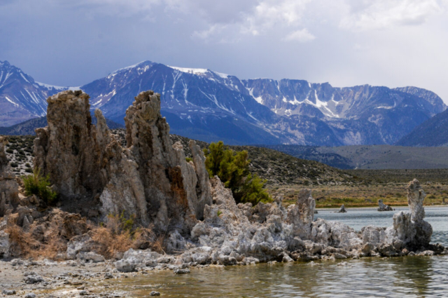
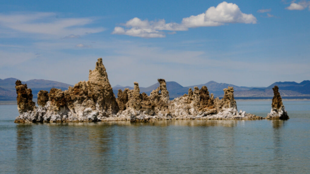
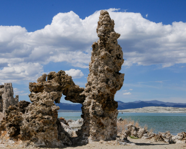
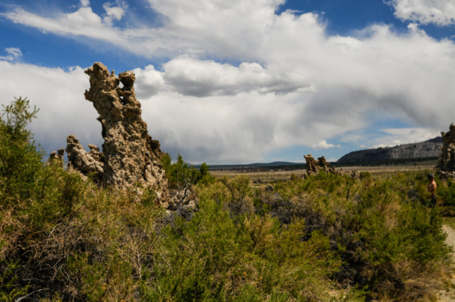
We finished the day with a drive down to the Mona Lake visitor center to see what all the fuss was about. The vast lake with blue water, white rim around the shore, and rock features doesn’t appear to attract fisherman or pleasure boaters so we guessed, and would learn correctly, that the saline in the water is too high for most aquatic life with the exception of brine shrimp. We also learned from a ranger about a 10-mile drive to the South Tufa Parking lot with a one mile walk through the rocky, coral like features that are now mostly on dry land because of the water siphoning. Reading information along the walk confirmed that the LA Water District robbed so much tributary water from mountain run off that the water fell to the low levels exposing the fancy rock features. There was a sign posted along the hike telling of how the California Water Board and judge ordered the LA Water District in 1994 to return the lake level to a point that would restore it to proper levels. We were standing high and dry about 200 yards from the shore reading this so they have obviously not followed the order. So much for accountability.
On our way home we decided to stop by the Whoa Nellie Deli for dinner which consisted of their World Famous Fish Tacos. The deli is located in the Mobile gas station and convenience store and is apparently the place to be seen in Lee Vining but has little to do with the town as it sits a mile or so south of town at the intersection of the 120 and the 395. But rest assured, the Whoa Nellie Deli is the real deal and the fish tacos were name worthy.
Yosemite National Park
National Parks are busy, crowded, with limited access for us dog owning folks, which we fully understand. But those things make going to a National Park as popular as this less enjoyable. Yosemite currently requires a reservation to limit cars as they aren’t operating their shuttle buses. Lysette heard there were reservation cancellations so she checked and low and behold found one for us for May 30th, the Sunday before Memorial Day for $2.
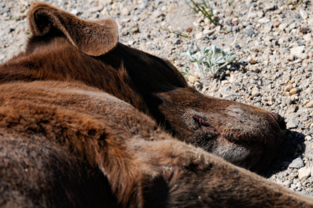
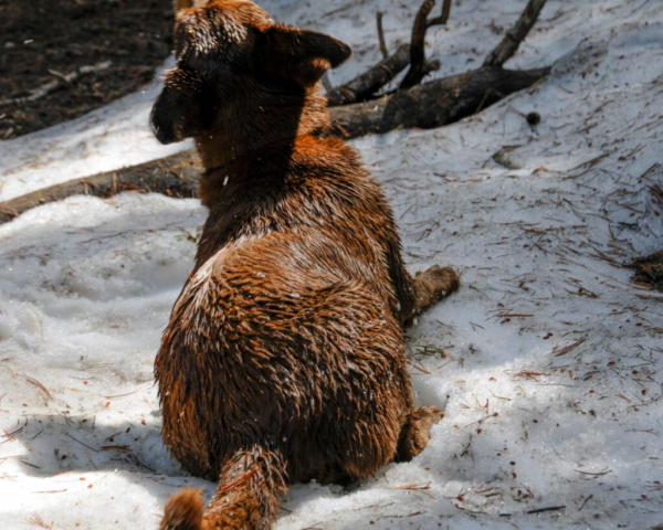
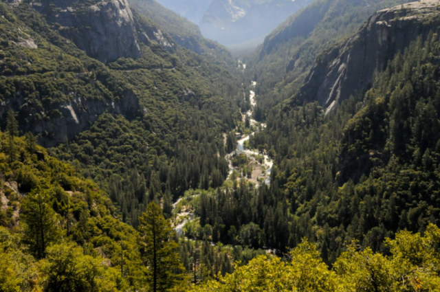
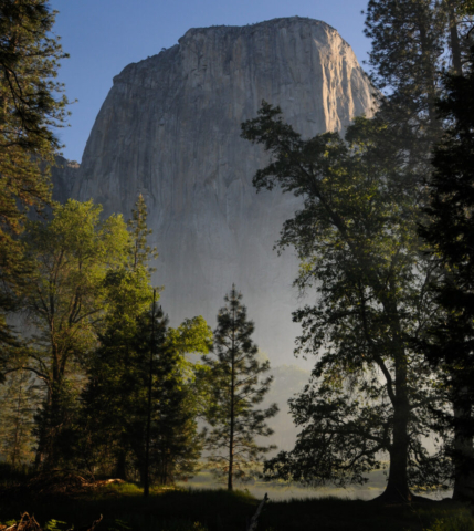
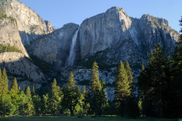
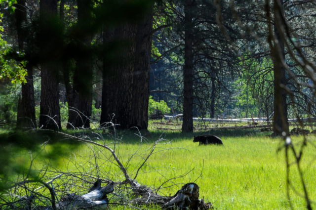
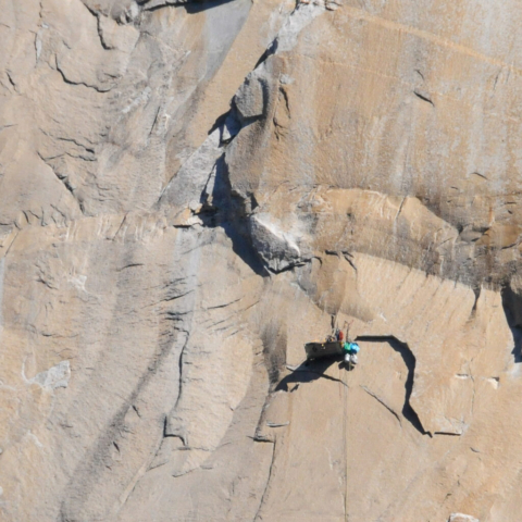
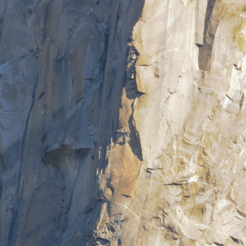
Our plan for the day was to pass through the east gate at 5:00 am when the gate actually opens for the 90-minute drive to the valley. We made it to the gate around 5:15 with no attendant, but with one impatient dude in a truck behind us yelling and blowing his horn. After letting him go, we easily toured the beautiful and peaceful drive through the park to the Yosemite Valley. We got to the Curry Parking lot, found a parking spot in the rear under a shade tree and ate breakfast on the tailgate of the Tacoma. We followed this up with a short mile and a half walk with Toohey along the paved loop road at the end. Once we passed the campgrounds and turn off where hikers head toward Navajo Falls, we were pretty much alone. Although not a typical large granite rock Yosemite hike, it was nice to be outside with our dog. We left the Curry Parking lot with motorist circling the parking lot in search of a spot. As we drove through the valley, we soon saw a large black bear wandering through a pasture where we participated in the bear jam as we stopped for a few photos. We moved further out the valley stopping along the road where climbers camp to stage their ascent up the face of El Capitan. Oh, and this is a large rock, even larger than we expected to see. We spotted many climbers who looked like fleas moving up the face of the rock, only visible from our position with binoculars. When doing research on El Capitan we found out that the Empire State Building is half the size in comparison. In fact, this piece of granite is the largest in the world. While we watched in amazement with sweaty palms, we saw other climbers hanging around their white vans with all types of gear and equipment organized staging for their assault, something hard to imagine.
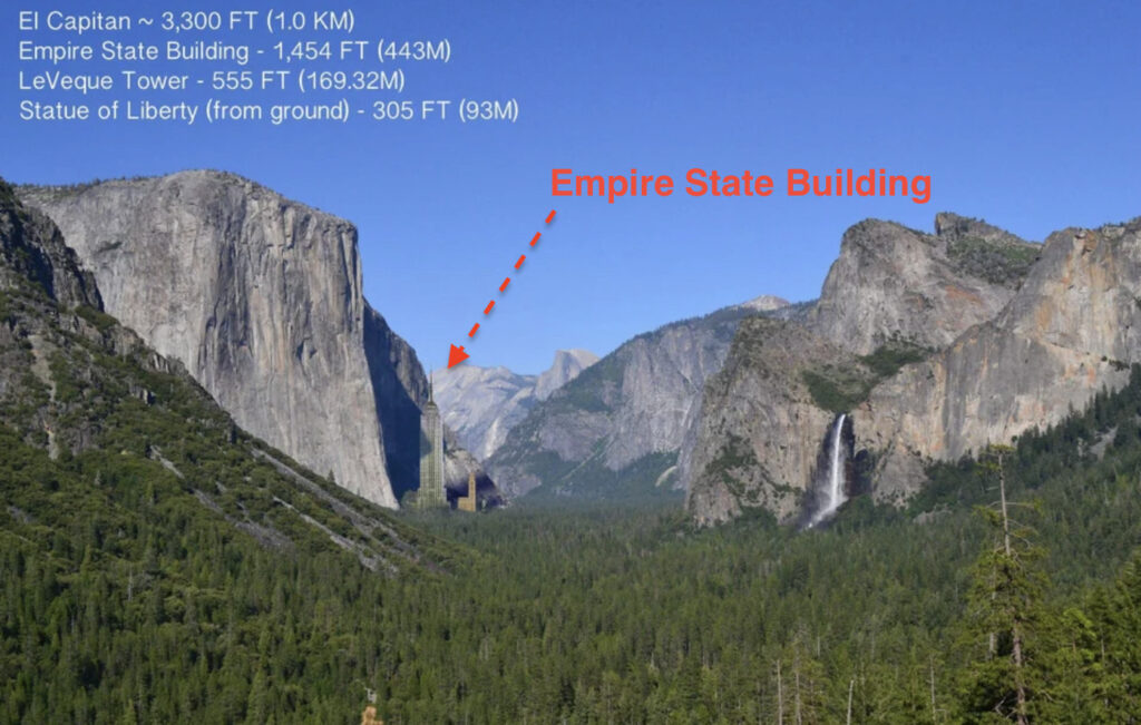
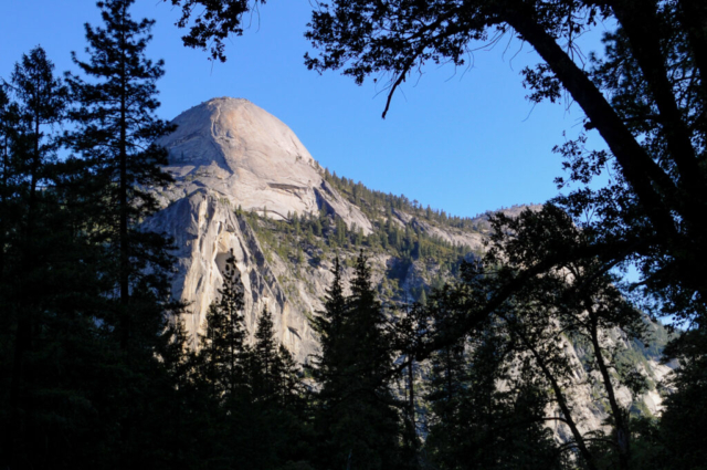
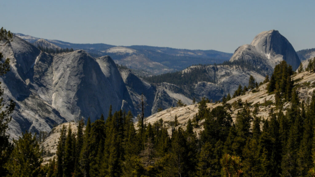
We left there with tired necks and the decision to head back towards Tioga pass stopping along many of the road side pull outs that we passed coming in. We laughed at all the yellow road signs warning motorist to watch for rocks as the place is characterized by massive granite rock features, domes, huge chunks of stone everywhere.
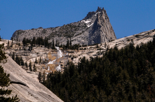
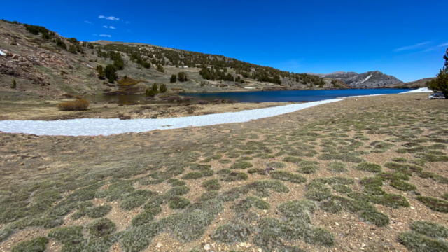
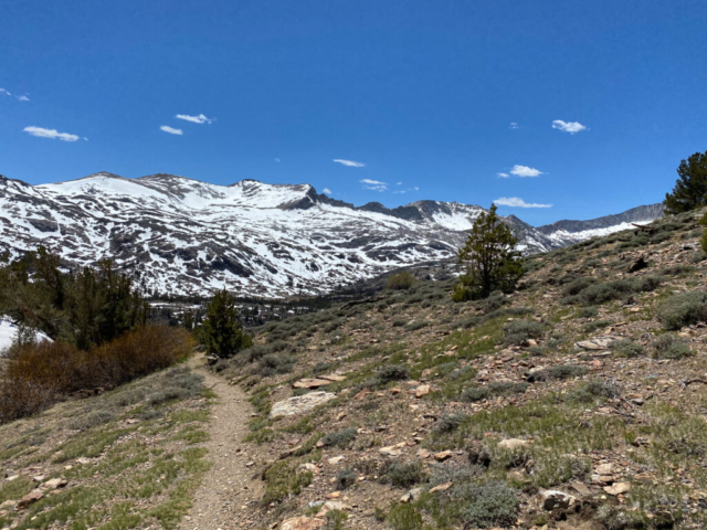
We pulled off the road at Tenaya Lake where the water was clear and with views of granite behemoth mountains surrounding us. Toohey swam, chased a few sticks, and we sat lakeside while snacking on lunch. We drove out of the gate passing the half mile long line of cars waiting their turn to enter. We then decided on the peaceful hike to Gardisky Lake. While staging our ascent in the parking lot, three young adults walked off the trail and in my way of striking up a conversation I asked them something like, how strenuous was the hike? They said something like, not bad which lead to a conversation about all kinds of stuff. One interesting thing we learned was that one of the three had been a climbing ranger in Yosemite, had just completed a 9 day ascent up the face of El Cap having to carry all their food and water, and that he had summited it over 54 times to date. We said our goodbyes and proceeded up the trail which was about a mile and a half steep uphill walk to a grassy plateau with two small and one large alpine lake surrounded by open plains of mountain tundra with amazing views. We couldn’t help but laugh at my question about how “strenuous” this hike was after what we learned about this climbers experience on El Cap. Later in the day Lysette found this article on the the dude we crossed paths with in the parking lot of Gardisky Lake trail head.
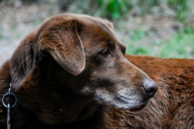
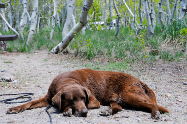
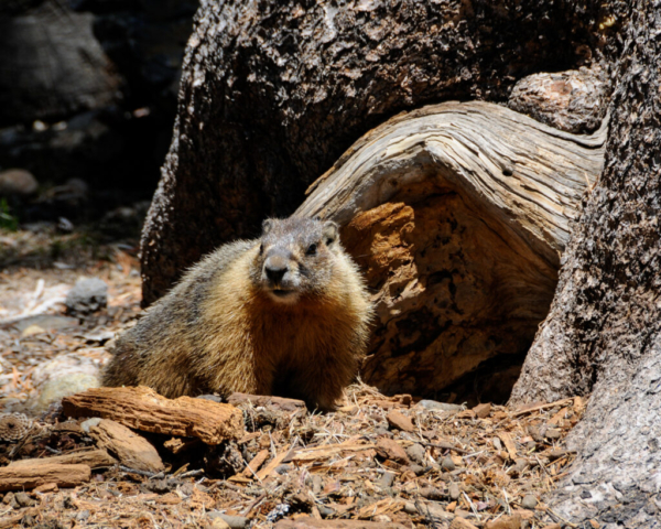
We returned back to the truck after our strenuous hike to find a chunky marmot willing to pose for the camera and a well rested senior dog napping. We associate way more with these two clowns.
A final word on Lower Lee Vining camp. It provided a great spot to stage outdoor mountain activities in the area, a good position for a day inside Yosemite, but not a great place to be during a holiday weekend. The camp sits next to a healthy creek, is beautifully treed but with facilities that on this weekend were completely overwhelmed by the large number of holiday weekend party goers. The chicken dance itself was a non issue but the shear numbers simply overwhelmed everything. As their rent-a-trailer black tanks filled, the port-o-jons followed. The bears feasted throughout camp the last night on coolers left out, overflowing dumpsters, and anything that smelled of food. These people took great pride in sharing photos of the bears in their camp drinking their rum without giving thought to the carelessness that will eventually cost a bear’s life. We would return there on any other weekend and likely have a completely different, better experience.
Bridgeport, CA
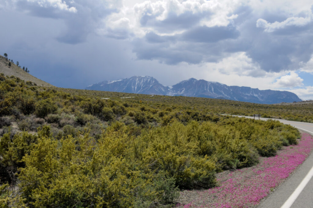
The lay of the land along the eastern Sierra’s is most trails follow a water source from snow melt out of a canyon running west to east. Many trails are at the end of a gravel road heading west, up the mountains from the 395. All that we experienced led up past alpine lakes, water falls, to a summit. The farther north along the 395 the less populated the trails seemed. We chose the Green Lake trail based on comments by others that it was beautiful and given this was a Wednesday after a long weekend, it should be a quiet one.
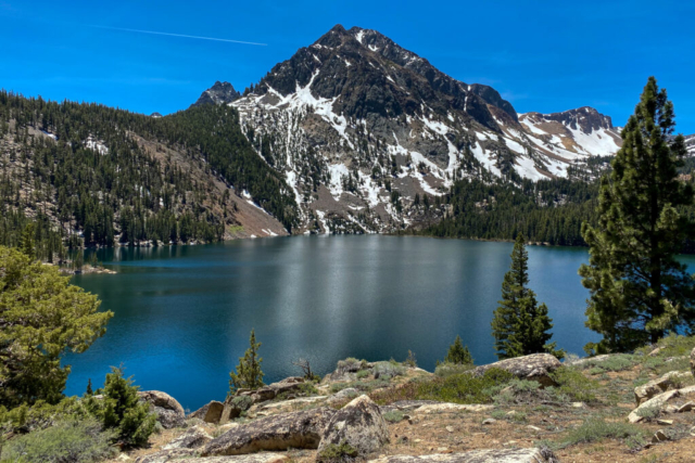
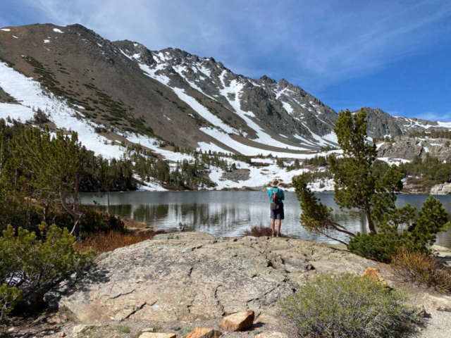
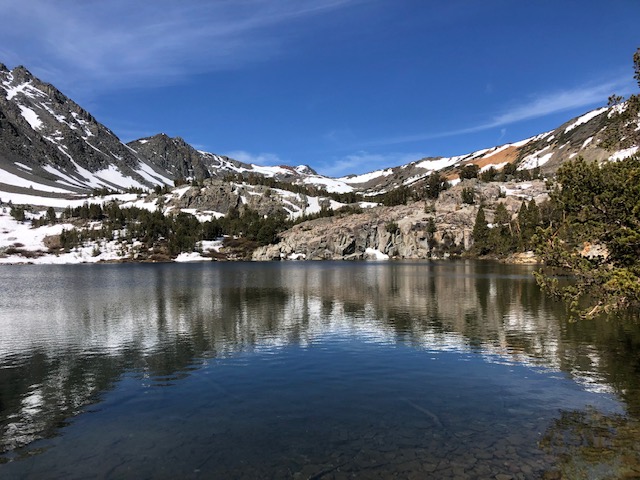
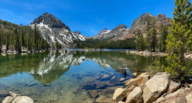
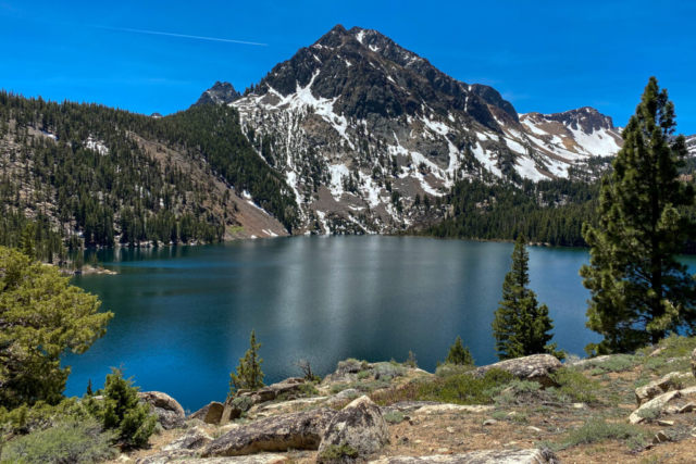
We found a good spot under a large pine tree and allowed Toohey to set his security perimeter. Now comfortable in the Tacoma with specific instructions to protect the assets, we set off up the trail. The uphills were easier, less steep and mostly not rocky making it a runnable event. There were small stream crossings, aspen groves, pine groves, and only a few people groves. The scenery along the way was great but nothing compared to the view once we got to the lake. It was stunning. The colors of the rock on the opposite side of the lake were a deep green, Savannah green, the color of the shutters on the outside of historic Savannah grey brick homes. The evergreens that lined the shore were another deep green, and the water was a shade of blue green with reflections of the rich blue sky.
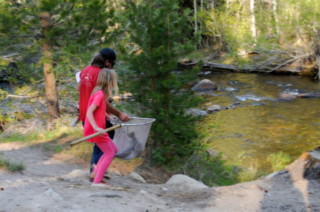
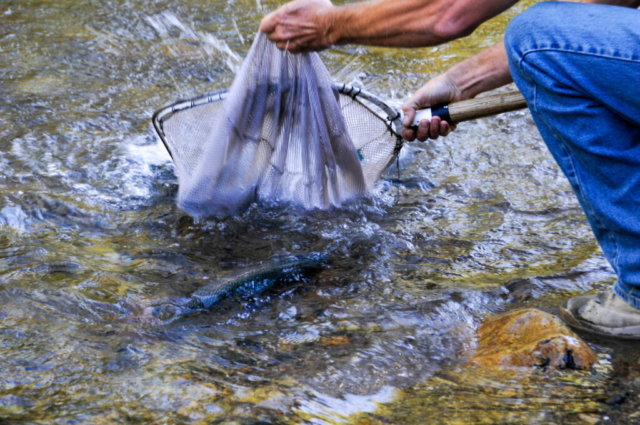
Our return route was mostly downhill along the same trail, getting to the truck to find a happy and well rested old dog in need of a stretch and pee. We moved the truck to a shady pull out along the road that was right next to the creek so Toohey and I could play in the water while small trout scurried in and out of hiding spots in rocks and the grasses overhanging the shore. It was a nice reprieve from the now hot midday sun and a special spot in time for the TWT team.
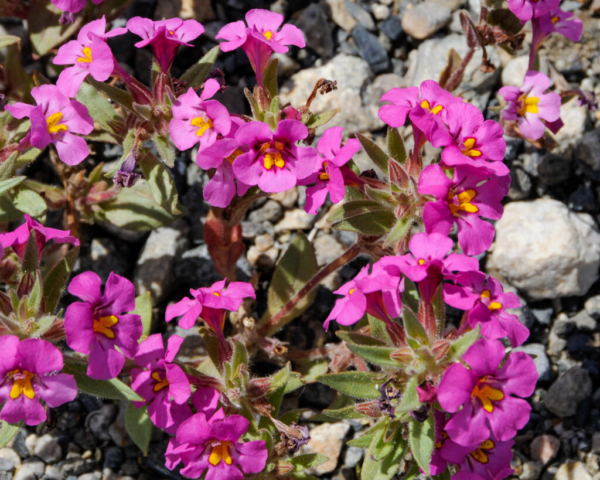
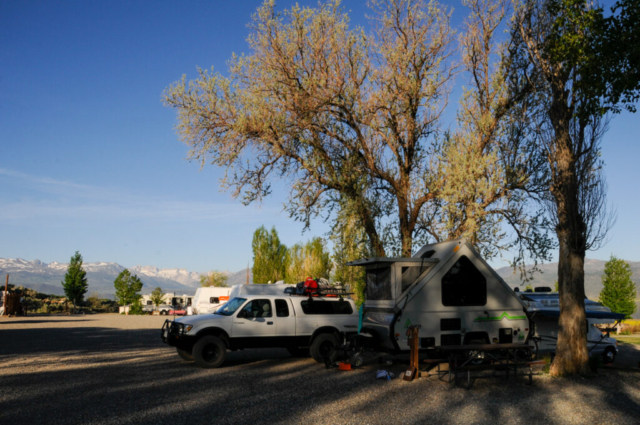
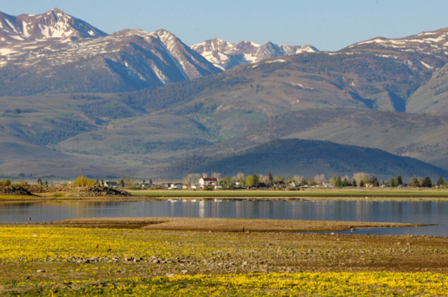
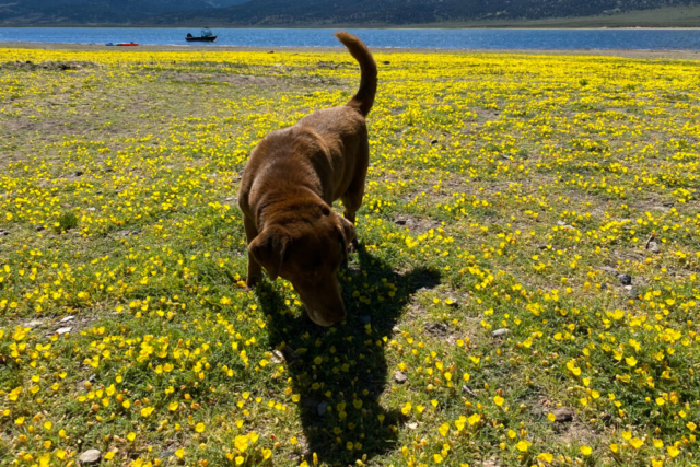
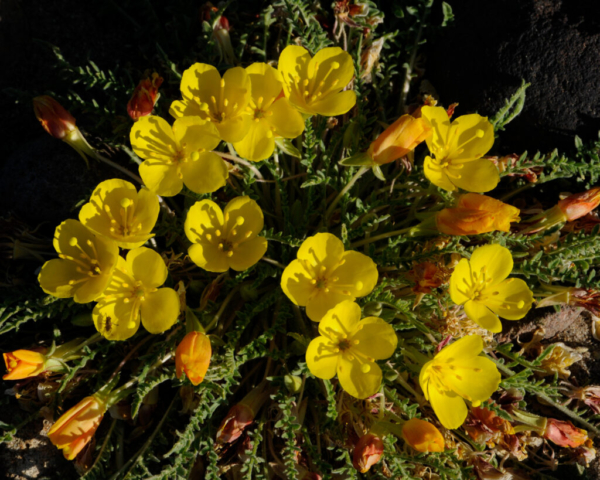
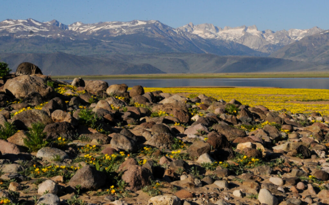
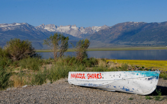
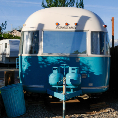
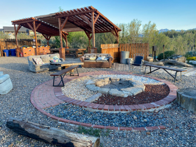
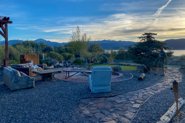
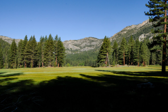
Our base camp for this trail was the Paradise Shores RV campground. The campground was an unexpected jewel, a place that gave a relaxed funky vibe, sort of vintage beach feel place. The campsites were elevated so most had views of the lake, meadow, and surrounding mountains which were spring green with colorful wildflowers. The water was really low but the yellow flowers that filled in were spectacular. The camp office and store was a light blue vintage trailer, there were communal areas for all to use, strewn with old worn upholstered chairs for guest to lounge. They had a large fire pit overlooking the lake and a place to cook with either charcoal, grill, or gas burner, all constructed under a large shelter equipped with an oversized picnic table to share with large groups. They offered kayaks and SUPs at no cost and one small trick bike that sat unused. The bathrooms were clean and nicely decorated in festive colors, folk art, and they even provided lotion and q-tips for guests. For the campers who didn’t want to bother with their own travel trailer, they had several set up for rent. Each of these had chairs and grills in their own common area. This place was a treasure in this small community of Bridgeport.
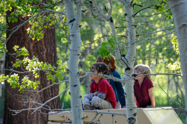
The campers were equally a nice find. There was a family of four across from us who were traveling from Florida to California while he looked for a new engineering job and she designed her web based business www.asherammanatrualbeauty.com. The young boys were mature beyond their age, gave Toohey lots of attention while learning how to train and command the respect of an old pooch. Mostly with food of course. They were a kind family sharing lots of good stories and information.
The camp manager and his wife had the Airstream sitting just below us and have been fulltime traveling for several years with two young children. He started talking about traveling Baja in the winter which is now a thought for us. The thought runs hot and cold depending on who we talk to as some say its murderous while others say it is safe as long as you are smart. He was nice, friendly and full of great travel information. www.neversaysomedayfamily.com
Grover Hot Springs State Park
We left our funky little campground and the friends we made for Grover Hot Springs State Park just outside of Markleeville, California. The drive along this mountain range continues to deliver amazing scenery while passing through small interesting towns. We made a left turn off the 395 and up the 89 that goes over Monitor pass. Then we dropped down and entered the rural mountain town of Markleeville. We hucked a left there and headed the remaining 4 miles until the road ended at the park and ranger station. We checked in to site 10 and as we pulled up to back in, we noticed our neighbors were also camping in an A-liner towed by an older model Toyota 4-Runner. Weird, strange, and a fun coincidence that would get lots of looks and questions. We enjoyed a nice conversation with them after we set up then relaxed around camp before an afternoon thunderstorm popped up sending us inside for a bit. As the storm was winding down, our appetite was winding up, so we drove into town for dinner at the Cutthroat Brewery and a walk through the two city block town.
Our only full day at Grover Hot Springs State Park was about our 90 minute reservation at the hot springs pool starting at 10AM. So we got up and did the short run to the waterfalls. The run was along a wide trail that went around the meadow then along the creek for the final push. The falls were a little underwhelming based on our travels but who doesn’t like a waterfall.
The hot springs were good. There was a hot and cool pool and the best was the warm outdoor shower. We talked to a few other folks there enjoying the minerals who shared stories of travel and life. We left feeling good yet fatigued as if we’d done some big workout. We figured later we were both likely dehydrated from the morning experience. The remainder of the day was a lazy one, reading, napping and hanging around camp.
The campground was a nicely treed park featuring large pines and a few hills accessorized with large boulders. A creek runs through the middle and behind our site which was perfect for Toohey. Each site came with a bear box (its use required), picnic table, fire ring, and a wooden shelf structure for other camp accessories. These accessories sat some 50 yards behind where the trailer sat making them somewhat inconvenient. There were two toilet structures on our loop with running water and one, farthest away from us, equipped with token showers and outside utility sinks. The smaller one across the camp road from us had running water with toilets and sink with no soap or towels. The best part about this camp was the quiet. Even with the large numbers of sites, it remained peaceful, a good place to relax for a few days with no cell service and quiet neighbors.
Alpine county is known in the state for its road cycling, big mountain climbs, and low traffic. We came to town along one of those roads that included Monitor Pass. We saw only one van and one cyclist giving a good ratio for riding. This pass and three others are linked for the Death Ride, a century bike event located in the area that would be fun to do in another year.
The TWT team found space and beauty in these mountains, a place to explore and dream, to enjoy the magnificence of the high alpine. We can now see why John Muir would make such a profound statement about these mountains being his favorite. Our drive west and downhill, saw the high mountain terrain change into rolling golden hills, the temperature rise, and anticipation of our next spot to explore increase. As we dropped into the west side of the range we entered a region of California known for small towns that popped up during the gold rush years. Highway 49 was our main artery moving north south through this area and our target of Angel Camp California.
Update: Our travels as of late have been centered around the cool temperatures along the northern coast of California. Daily highs have ranged from the mid 50’s to the low 70’s with mostly low marine layer of clouds and some spotty sunshine. The temperatures just a short drive east are up to and over 100 degrees for the next 10 days. Our current location as of this blog is Kamp Klamath which you might think is a KOA based on the improper spelling of the word “camp” but you’d be wrong. It’s a beautiful rain forest of a place sitting beside the Redwood National Park along a small road about a mile and a half from Klamath Beach. The beach sits at the inlet to the ocean where we’ve watched seals, sea lions, and osprey feast on the abundant fish moving into the river while buzzards clean up the carcasses left by those mammals dying on the beach. The extreme dynamics of the ocean waters meeting the river inlet is simply awesome to watch. Other than that, we are all well fed, happy, and healthy. Until then…
Comments
4 responses to “California Edition 2: The Upper Eastside”
Thanks for sharing, this “edition” is among my favorites…give Toohey a hug for me. I don’t remember the origin of Toohey’s name
What a blog!!! Enjoy!!!!
The 395 run has been on our list for quite some time, but likely a Fall north to south route in 2022. Great trail information for our liking and camping. Hoping our 38′ motorhome can negotiate most of those roads.
The mix of people out here, absent holiday weekends or Summer tends to be pretty good. I can’t imagine being around that circus you endured, and then of course the ensuing disregard for the wildlife, well that would fuel a helluva ride or run in my book.
No pictures of Kemp doing the “chicken dance??” Great blog. Enjoyed living thru your experiences.