10/15/2020 – 10/23/2020
The North Carolina mountains hold a special place in my memories. One of the earliest trips was with my mom and dad to the High Hampton Inn after dropping my sister off at camp for two weeks. We stayed there for a few nights enjoying time with my grandparents who made their annual trek from Savannah each summer to play in the cooler temperatures. We also visited Cherokee, NC and, my favorite place, an old ghost town where we lay witness to an authentically staged gunfight in the street.
Later in life, my parents would buy property in the area allowing me the opportunity to spend summer vacations there sharing with my children the beauty of the place, the fresh mountain smells, hikes, outside fires in the upper pasture firepit, star watching, and porch time in the evening. Just sitting around creating fond life memories together.
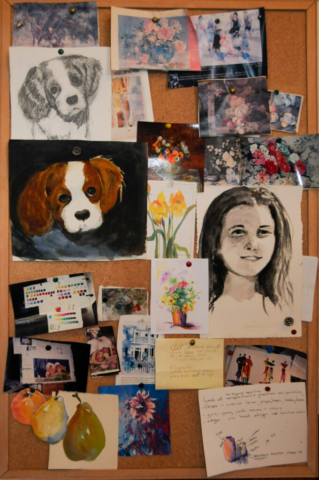
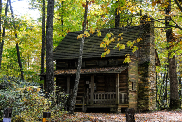
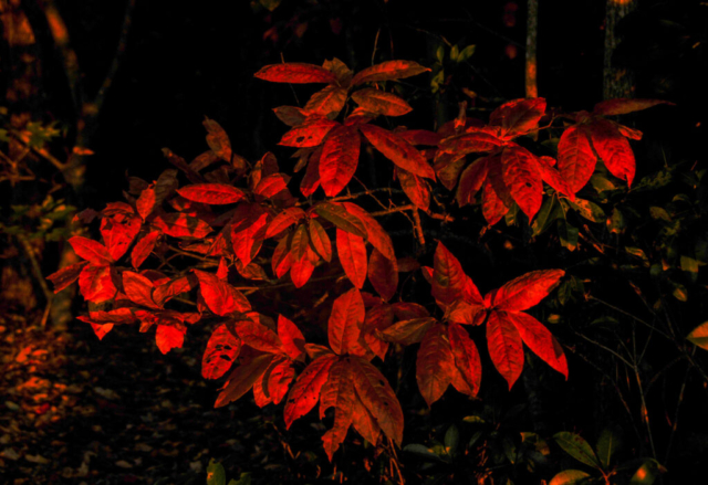
My mom use to talk about the North Carolina mountain foliage as if it were a special friend of hers. Her gardens each summer were mountain pretty with the most beautifully colored, perfectly placed flowers, appearing as if God naturally placed them. We’d eat vegetables from her garden for dinner. She fed and enjoyed the birds and squirrels as if they were a member of her family. Mom would later spend hours in an old restored log building painting scenes with watercolor, capturing images from around their patch of land, the colors and details that we all struggled at times to slow down, see, and enjoy. She shared with the grandchildren the magic of the place, using the stars to frame conversations on life, playing in the small streams, finding joy in being a part of this special time and place in their lives.
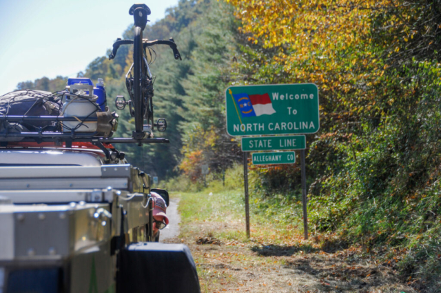
It is with this lens on my life (and this James Taylor song playing in my head) that the team now crosses the North Carolina state line, excited to build more memories on our journey. How I relate these to this experience has yet to be seen but will certainly be somewhere lurking deep within me every time I see a mountain laurel draped over a creek, smell the crisp sweet mountain air or enjoy watching Lysette and Toohey as they find things to explore.
Travel Journal
North Carolina Mountains
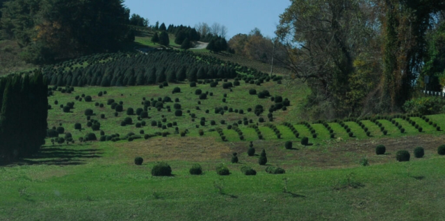
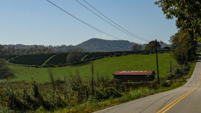
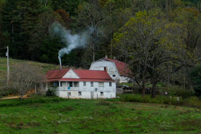
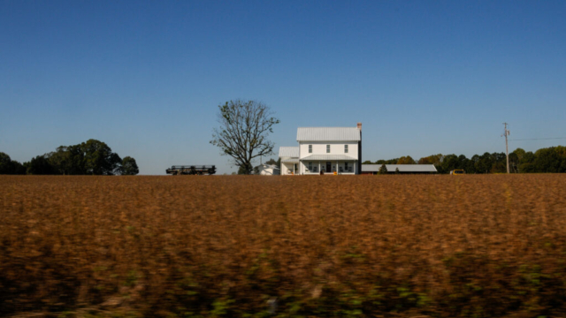
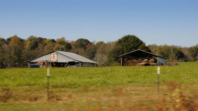
We pulled out of the KOA, which was AOK, and headed south through Virginia, passing through the small town of Independence before crossing into Allegheny County, North Carolina. The large flowing New River crossed beneath the bridge just past the state line. As our journey demands, the roads were as small as we could muster up, winding and curvy, providing much to see and talk about as we crawled along. The agriculture was filled with evergreen tree farms, most trees appearing to be the Christmas tree variety, the structures remained country farm quaint, and the farm animals were still cows with a few horses and a donkeys sprinkled in the mix.
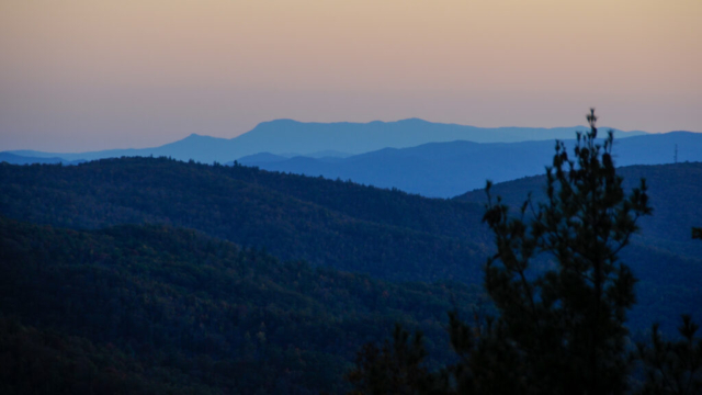
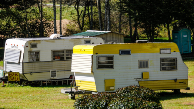
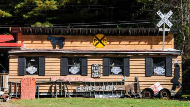
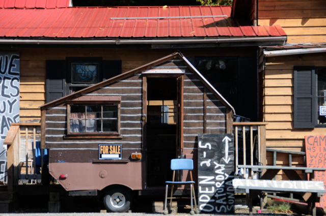
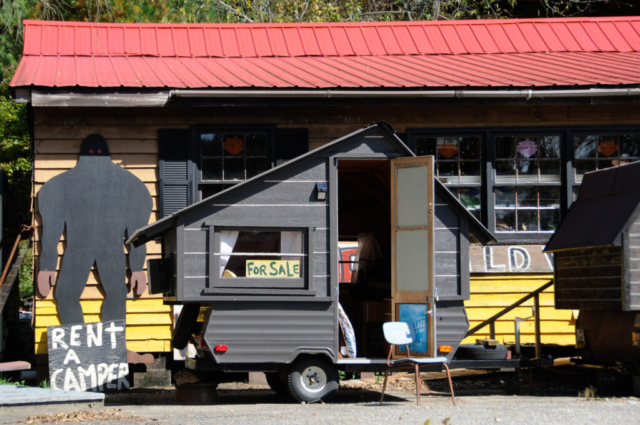
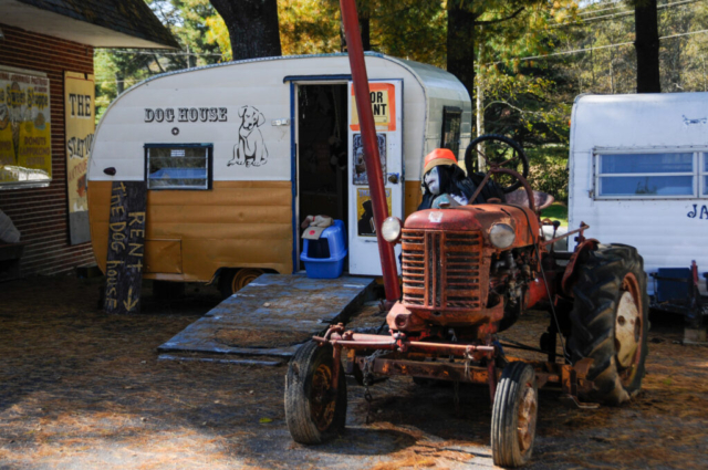
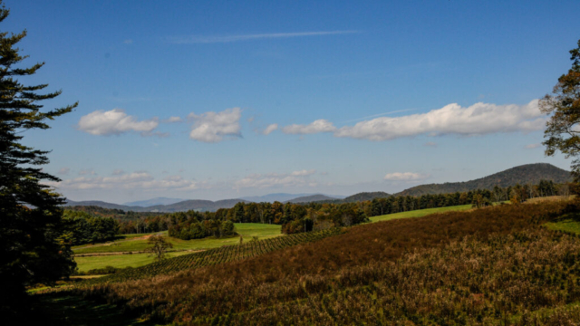
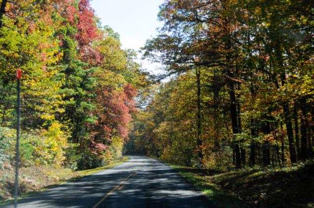
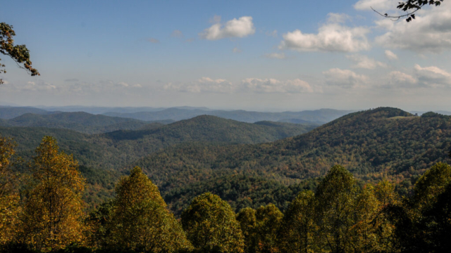
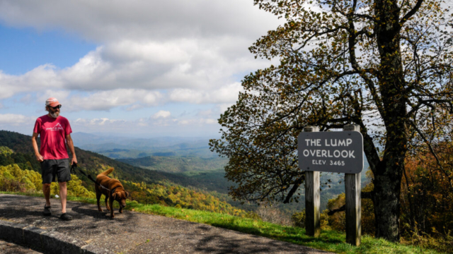
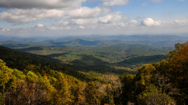
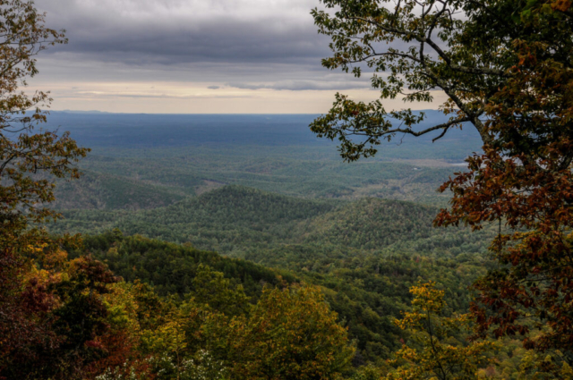
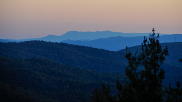
We stopped at the small community of Laurel Springs to gawk at an RV camp packed with vintage trailers that can be rented for the night. There, we jumped on the Blue Ridge Parkway which is a National Park, free, providing a narrow, well maintained road, and a scenic drive from Virginia to Western North Carolina. The drive is slow with heaps of scenic overlooks. Couples were seen pulled off the roads at these overlooks and all along the road for that matter, with chairs out having a nice leisurely picnic of sorts with the quiet entertainment of fall colors and views of distant summits of the Appalachian Mountains from where they sat. It is an easy flowing, nerve calming drive, as long as you have plenty of gas and no time parameters to your day.
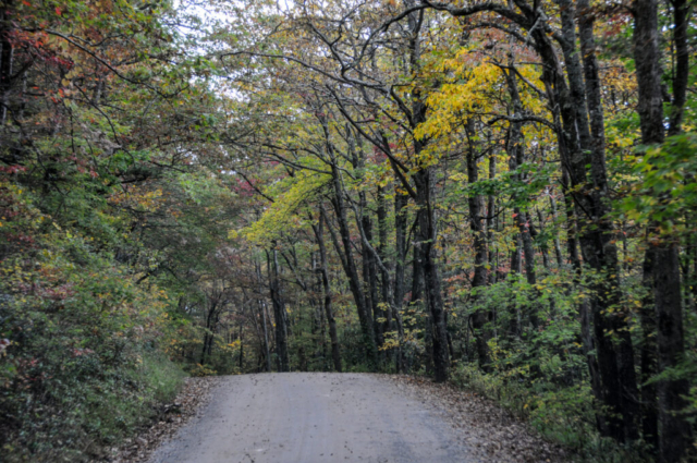
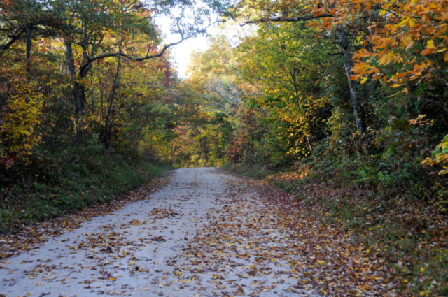
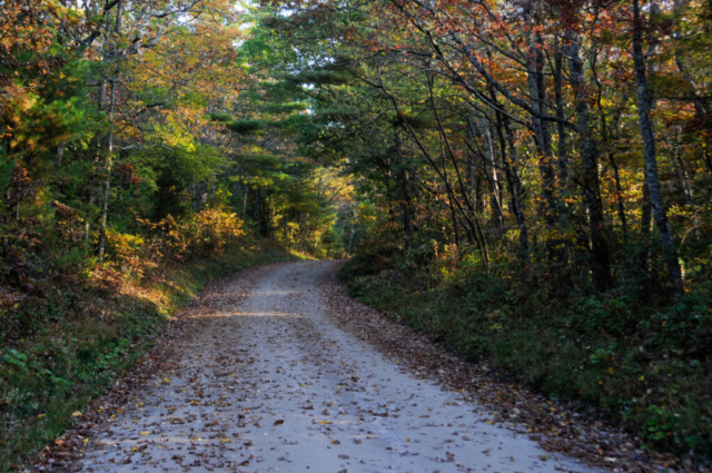
Somewhere before entering Boone, we jumped off the parkway and ended up on a nasty four lane expressway where traffic was as thick as ticks on Toohey. We navigated it all successfully but with nerves on high alert. We left Boone just as quickly as we could, making several turns before finally making it to North Carolina Old Highway 105. This narrow hilly and sometimes severely rutted dirt road follows a ridge along the Linville Gorge. There are small parking areas sprinkled along the left side for trail access to hikes down to the Linville River and to overlooks of the gorge. There were several pull offs for first come first serve free dispersed camping sites. We watched a good video the day prior to this trip to gain insight into the road, its condition, and whether it would be appropriate for our rig.
We made a left turn on the road, first passing the busy Linville Falls parking lot. The falls are the main attraction just a short hike in shared with lots of folks from both this trailhead and the another off the Blue Ridge Parkway. The video we had watched the previous day did a good job of making the drive and campsites look relatively flat and easy. As it turns out, the road wasn’t flat but came with a several steep ascents, big ruts and narrow stretches. At times, it was a clutch burning experience as we squeezed between oncoming traffic and parked vehicles on the steep road with no room to spare.
We made it along the first stretch watching for potential camps but most campsites were either already occupied or on a slope making backing maneuvers difficult at best. We finally got to the intersection with the left turn into Wisemans View and decided to stay right which turned out to be a good move. On a mostly flat section of road less than 100 yards down was a campsite, wide with trees. We got out to walk it finding the remains of Slobicus Americani, who think leaving white mound of toilet paper on the ground next to their bathroom matter is okay. Camping isn’t for you if you don’t have a toilet or can’t dig a 6-inch hole and put your wipes in a trash bag to carry out.
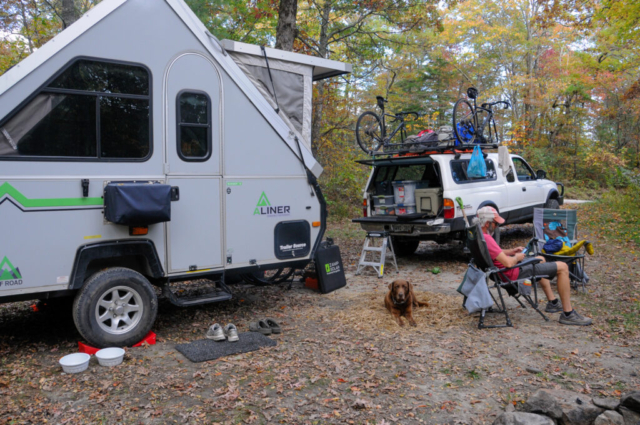
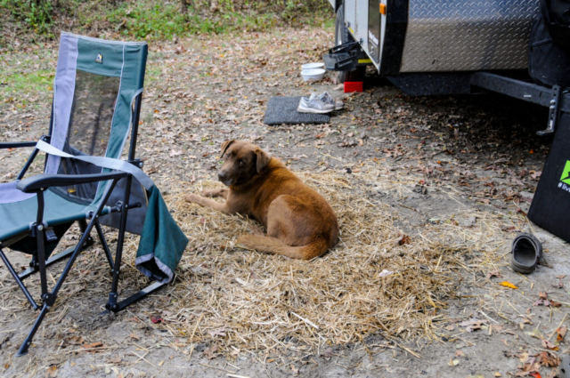
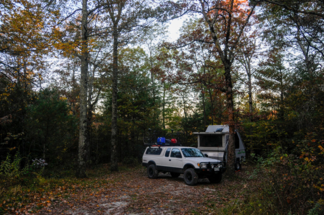
Being camp hardened, we saw through this to the potential of the spot. We decided to back the home into the site, do some quick renovations first by moving the stone fire ring a few feet to the left then cleaning up the trash and mess left behind by previous humans. We smoothed the old fire pit over topping it off nicely with some ground cover, removing any evidence of its prior place. We then set up home, hung the awning because of the slight prospect of rain and to dry it from the wet West Virginia experience. Finally, we burned the pile of toilet paper in the new fire pit. With the place now clean and perfect for a few days of exploring the area, we popped a few beers for a moment with a ceremonious relaxation.
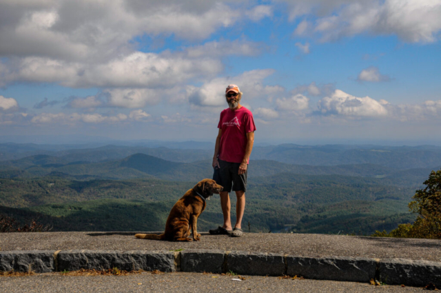
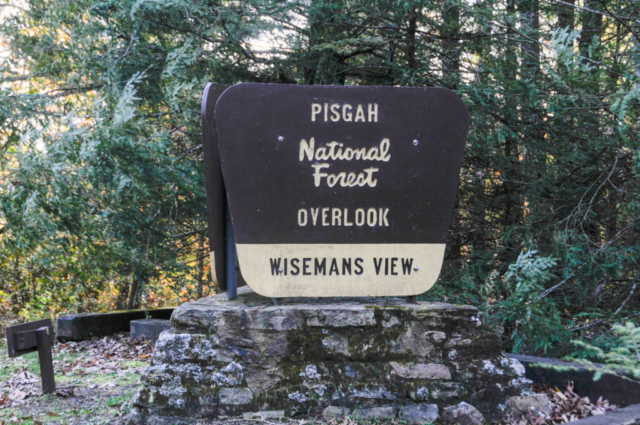
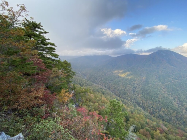
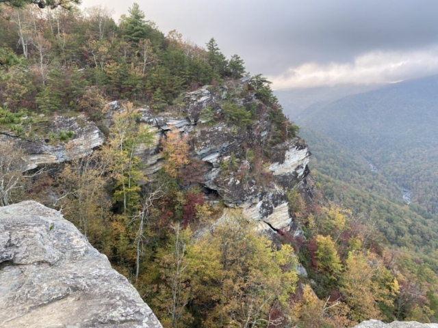
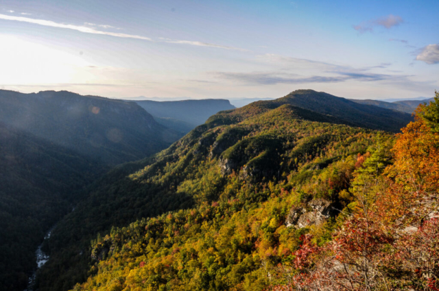
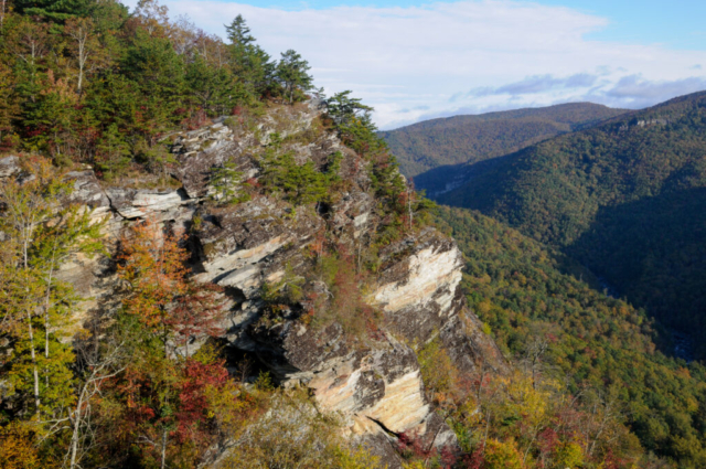
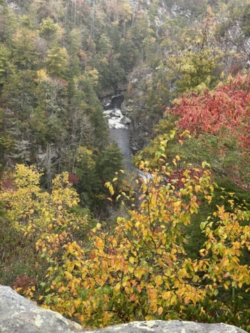
With Wisemans View no more than a short half mile walk, we decided to go check it out. We spoke briefly to another couple tent camping just up and across the road, took the right turn towards the overlook parking lot, through the overlook parking lot, where we followed the asphalt path to the overlooks. There was a small wedding ceremony happening so we patiently waited for it all to begin before sneaking around it to other overlook areas. The place was spectacular with tingly steep cliffs providing views of rock features projecting out of the earth on the other side of the valley, the river below storming down the valley over rapids, all while the sky shot rays of sun through the humid air all while the first dance of a new married couple choreographed to a country music song was occurring in the background. Fun stuff.
We walked back to camp, said another hello to the tent camping couple, and then sat for a bit to talk about more stuff. Our stomaches then called us to dinner as we went inside to mix up a salad, drink a glass of wine, and a few hands of gin before reading and bed.
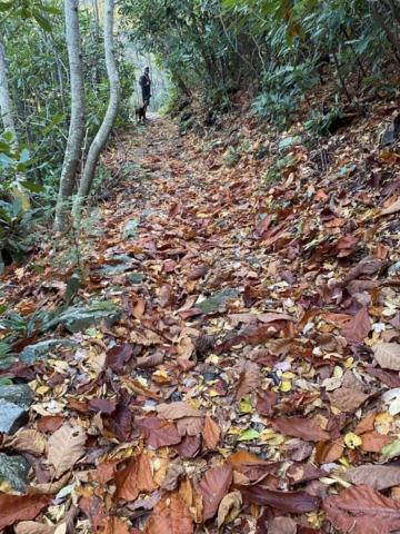
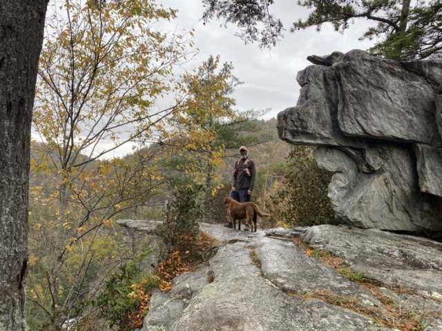
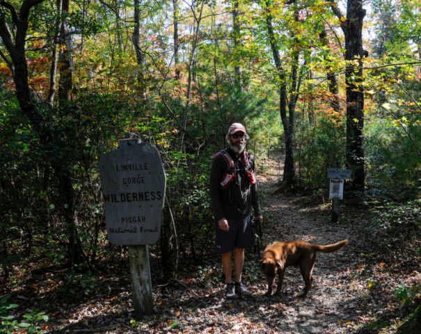
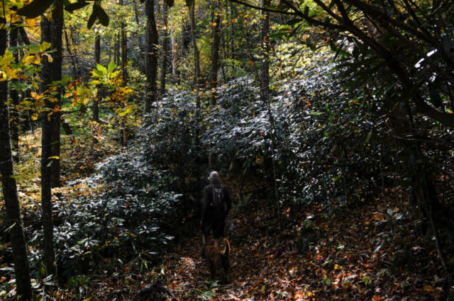
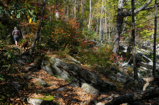
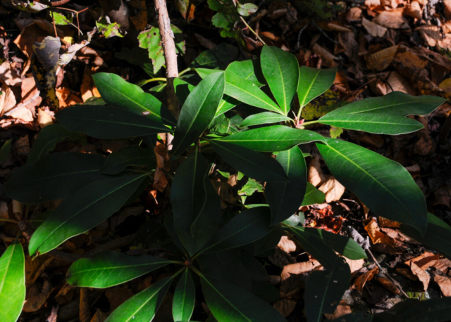
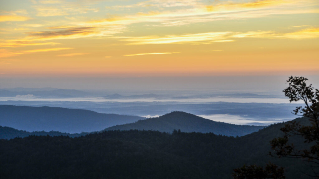
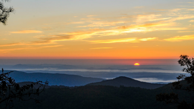
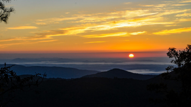
Today was suppose to be the weather day with a slight chance of rain but we woke to some wind and sunshine, sweet sunshine. The photography department set off to try to catch the sunrise at Wisemans View overlook while Toohey and I did stuff around camp. When she returned, we made the quick decision to run from camp a mile or so down the road to the Babel Tower Trail for an out and back. We set off going northwest on the gravel road making another left at the intersection of Wisemans View, then following the road northerly until we reached the trailhead. From the trailhead the run quickly turned into an ankle protecting walk over small rocks and roots hidden by the fallen leaves of the season. The trail was elegantly lined with laurels, mosses and other ground coverings giving you the sense at times that you had entered someone’s backyard garden. Some of the trail was deeply rutted into a single track path. It turned right along the ledge of the mountainside while consistently moving downward. Somewhere in here, the clouds appeared bringing a sprinkle of rain which would follow us for the remaining downhill part of this event. The turnaround was a large rock feature that jetted some 100 meters into the sky but well within the canyon walls. The base of the rock outcropping provided an edge and overlook with a striking views of the rough river gorge cutting into the rocks below. The photography department rolled some film, Toohey sniffed and pee’d, and the team turned and headed back up the trail.
Somehow uphills always seem steeper than the downhills. The climb out required much less conversation and way more breathing, lots of high steps up and over rocks and tree root obstacles. We passed one group of fellas heading down and as I looked up witnessed one of the best man beards ever and without thinking said, nice beard, remembering how uncomfortable that made me when the dude in Minnesota Northshore said that to me on the trail, making me feel weird, full of regret. Anyway, as I hiked off he gave the sage advice, just don’t ever trim it, which for me is too late.
We stopped one other time at a second outcropping mid-hike where we had some cell reception, using this opportunity to call my daughter-in-law in Savannah to sing her Happy Birthday. She answered the call while she was in Target shopping. We could almost hear her smiling as we sang then followed up with a nice chat before moving on.
We made it back to the road in high spirits where we started back the run, rolling over, up and down the gravel road, passing and being passed by motorist coming out to enjoy the area, until we reached home. Once there, we ate a large breakfast. Great ruke and morning completely filling the soul.
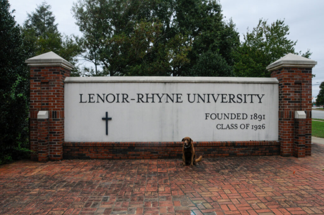
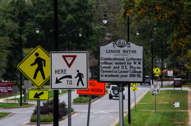
With the afternoon on, we decided to make the drive right out of our camp, to follow the road we only suspected would get us to the town of Hickory. This was important to us as our neighbors in Golden lived there, still having family and a long legacy in the area. In fact, Lenoir Rhyne University is where her dad was a coach and then the Athletic Director after learning from the legendary Bear Bryant. His dad is in the Hall of Fame there for university athletics.
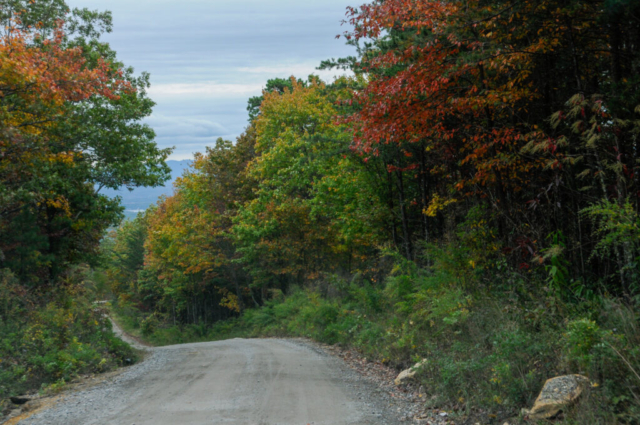
The road was steep, hilly, rutted, and winding but nothing the Tacoma hasn’t felt within the past. It took us up and along another ridge with spectacular views and dispersed camping spots right along the edge of the ridge. At one point, as I was sitting waiting on a slow approaching truck, I waved him down to get some information. Inside were two gentleman who told us they hunt and visit this area year round and that we can get to Hickory this way. About 7 or 8 miles, they would say, the road turns to asphalt then at the intersection, turn left and follow that road to I-40 and from there you follow the signs. All good news for the travel team.
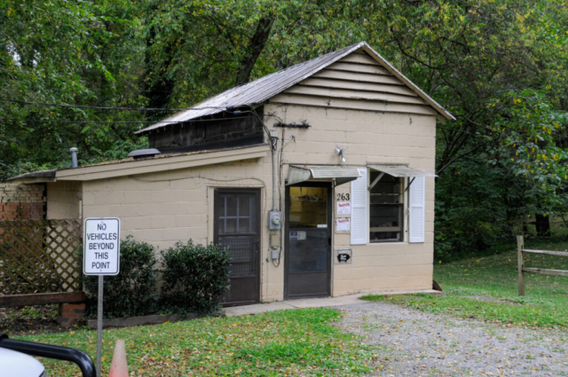
Once in cell range we had our Golden friends from Hickory texting, facetiming, and calling us to try to get us more critical information. The first piece and really only piece we listened to was where to get good BBQ. Our directions got us to a small building sitting downhill behind vacant red brick warehouse structures. The Pit was the proper name of this place and was reported by our friends as the main supplier of BBQ to restaurants in town and the place to get it. Inside was a clean, tidy, small room with the smell of smoked meat being the only indication that slow cooking meat was occurring. In the center of the room was a well worn large butcher block table with years of wear from the blade of butchers past and an interesting conversation starter for me which occurred with the nice clean-cut looking man who helped us. The only other indication that we were in fact at the right spot, was a small white sign. Pork by the pound, coleslaw by the pound, quart or pint, and sauce. We ordered a pound of BBQ, pint of slaw, and sauce. He went into the back and came out with it all neatly packed in a small white bag for the total cost of $10 and some change.
With the stash of food in the food bin, we set off for a quick tour of town which included a drive through the campus, a gas station for fuel and ice, and the roads home. We jumped on I-40 for a spell only to enjoy the traffic slow down as a chance to listen to the conversation on the CB radio, channel 19. Not quite as colorful as the last one in Virginia, but still a funny slice of human commentary streaming the emotions of the moments through the mic, you can’t solve stupid and others using brief comments to make fun of people slowing down to look at blue flashing lights.
We went home using roads that would only require four miles of the gravel road back. The drive into the camp was busy, trailheads full, and campsites packed with tents. We got home, drank a beer, and decided to eat.
There is a history with me, coleslaw, and cars. Once while attending a concert at Red Rocks, I was joined by a workmate who brought a large container of coleslaw for tailgating. Knowing him, you’d never suspect he’d bring something as unwanted as coleslaw as a food contribution to any party. But he did. After the concert and with most of the coleslaw uneaten, we decided on pizza at Woody’s in downtown Golden. As he was getting out of the car, he sat the large container of slaw on the dashboard of my company car, a Ford Fusion. As anyone would expect, the slaw fell, spilling the entire large container all over the car, between the seats, and in every crevice a Ford engineer could have designed. The slaw particles would remain a part of this vehicle until we departed ways in May but the story will never die.
Back in our campsite, as I went to retrieve the food package from the food bin, the slaw had spilled. This time though, the lid never fully opened allowing only the white slaw juice to cover the sealed food in the food bin, and the floor of the bin. Damaged controlled but we used this episode to laugh at the previous coleslaw incident.
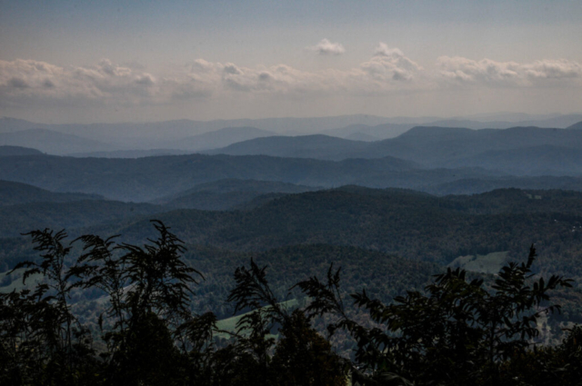
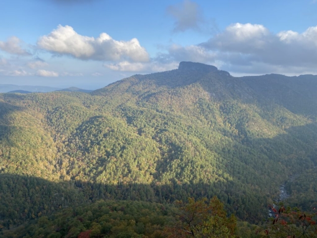
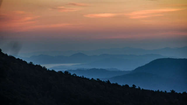
We ate a nice dinner of BBQ, coleslaw and salad, cleaned up and decided to walk over to the Wisemans View to check out the night sky as sun set. We were a bit late for the sun setting but the colors in the western sky and what was left on the mountains across the valley were stunning. We sat there for a while just staring at the small headlamps across on Table Mountain, several fires on the opposing ridge and deep in the valley along the river. A pretty night indeed and one we shared with about a dozen other campers and locals who had driven up to see the scene.
We walked home along the road, in the dark, as Lysette’s headlamp was struggling to produce any light. We gazed at the stars for a moment which were clear and magnificent, almost being able to see the blur of the milk way. We retired to the home for a night cap, a piece of chocolate then to bed. With night temperatures forecasted to dip into the 30’s we dressed warm and dosed off talking about something I can’t remember.
Today was a good slow start with nothing on the agenda other than living, enjoying the place and time. The sun was full-on with blue skies and a bit of remaining wind from the night before. We hung out at camp, did the morning thing, ate breakfast, and decided on a hike down to the Linville River, the body of water that has been wearing down these rocky old mountains creating the gorge. Research and Travel found a hike called Conely Cove Trail, black-diamond on their scale, that would take us down to the river. The trailhead was a little over a mile from camp and based on the wear and tear and the age of our trusty pooch, we decided to drive there.
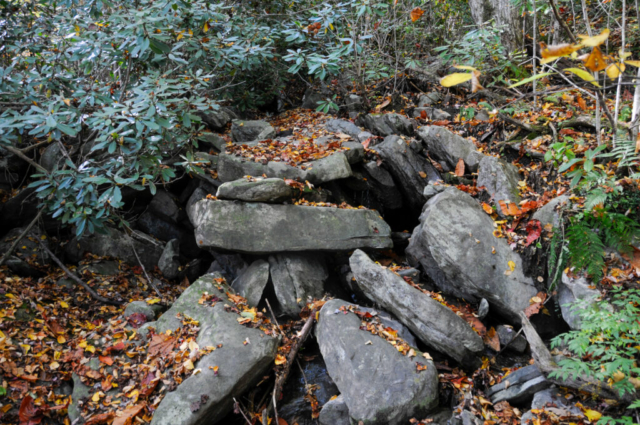
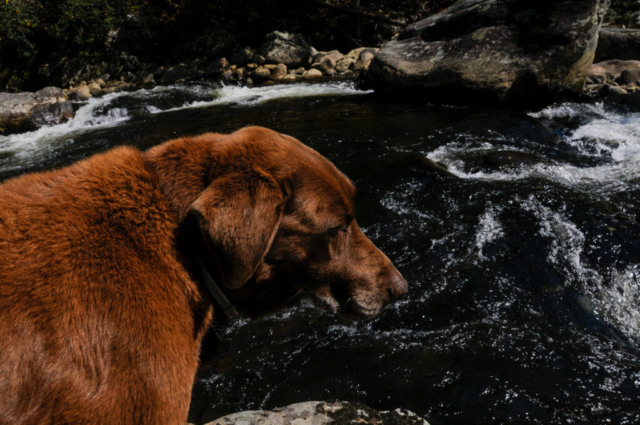
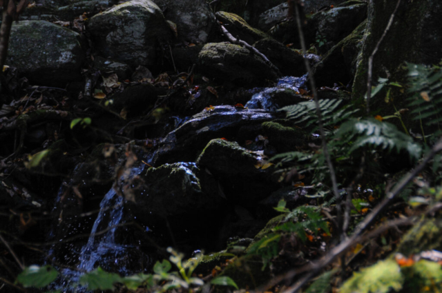
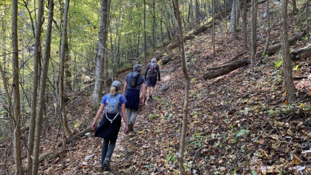
The parking lot was full so we had to back into a tight, unlevel pull off just off the road. The trail starts off and continues down with some steep parts, crossing back and forth over a small creek as it also descends down to the river, giving Toohey plenty of water to lap along the way. You pass large and tall rock walls otherwise hidden by the forest. There was a cave where a family with young children sat. We passed a few small groups coming out carrying backpacks and after asking, learning that most have spent a few days down on the river camping.
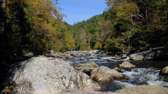
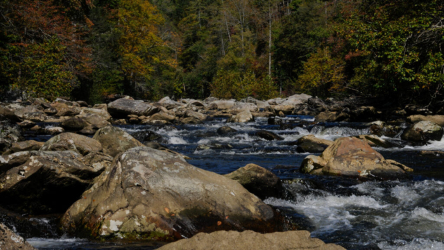
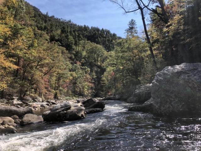
We reached the river which is spectacular. Still full of water roving over and around large boulders, creating a dynamic scene to watch and speculate how much more water might interact with these rocks in the spring run off, or is there a spring run off? We can only speculate at this point as we know little about the river but sure enjoyed sitting on a rock warmed by the sun and watching it.
The trail dumps you off at the river where it intersects the Linville Fall Trail that runs for a good ways along the river in both directions, where backpackers and hikers can customize all types of trips to meet their goals. We talked to one couple doing a day hike of 14 miles which was a long extended loop.
Our goal was to get to the river. Once here we decided to go in both directions for a spell to see what other turns of the river and this trail offered. We crossed through several small vacated camps, evident by stone firerings, and over, around and beneath large rock outcroppings. At one point we could see up to the Wisemans View overlook where we have been enjoying evenings and sunsets.
Our return trip was along the same path up passing a few coming down for a mid-afternoon hike. The trail now saturated with the sunlight but still pretty and requiring a good steady effort to get out. Back at the car and a quick trip home for a mid-afternoon snack of apples and peanut butter complimented with the leftover bag of dark russet potato chips from the day before.
As night got closer, we had an early dinner of the leftover pulled pork mixed with a can of turnip greens and diced turnip roots. We followed that with a can of chicken and soup. Now full, we decided on a stroll back to the Wisemans View for some evening photography and enjoyment. The place was packed, there was another small wedding taking place and just as many gawkers at the spectacular view of the gorge and opposing mountains.
We overheard a congregation standing on a rock outcropping talking about Savannah which caught my ear. We strolled down and worked our way into the conversation, eventually learning that we didn’t have any Savannah connections. Next we learned of the legend of the Brown Mountain Lights, strange lights that people reportedly have seen along the canyon in front of us. We skeptically asked a few questions and they assured us the Youtube video shows strange lights projecting into the sky or something.
We moved to the main observation area as the photography department played with the changing night sky colors and images. Soon we spotted campfires and headlamps along the opposing mountain side and summit that we had seen the night before. The ladies behind us hooting out loud with some locals encouraging them to remain calm that those aren’t them. It was all quite silly actually so we left for our dark walk back to camp.
Arriving at camp, cold and tired, we decided on an early entry to bed with the heater going, to read and doze off. And doze off we did for a full 12 hours.
The Definition of Strength and Courage
A hero is an ordinary individual who finds the strength to persevere and endure in spite of overwhelming obstacles.
Christopher Reeves
We both got to know this couple through triathlon training in Savannah and after meeting them, quickly started training with them for triathlons, racing them as we traveled to events, and through this common shared passion, created memories and lasting friendships. He and I would square off in races after my natural ability to smack talk and not back it up would encourage competition. He would eventually squash my Ironman dreams of victory in Coeur d’Alene by a great effort based on dedication to his training plan, only to have a heated battle on the much smaller stage of the Hilton Head sprint come to a skidding end for him as we entered T-2 for the final leg of the run.
As with many who moved on from that chapter in life, they swapped coastal Savannah for the North Carolina mountain lifestyle to include mountain biking, hiking, spectacular views, and their motorcycles. It was a motorcycle accident that would try to define his future. A tragic accident left him broken and mangled, eventually he was put back together with cadaver bones, metal, and pins. But knowing the competitors in both of these folks is what has eventually defined the outcome. His courage to fight daily, challenging what the doctors told him he couldn’t do by enduring the pain of walking again, hard work and grit, gaining more strength to get back to living the life he chooses to live. With his wife as inspiration and an unfortunate experience from a previous car accident herself where he, by her side, fought to get her back, now her turn to help encourage him back to the active lifestyle they enjoy, never letting the accident dictate the theme of their lives. This fight, inner strength and courage, is what defines this couple, and provides the inspiration of this day.
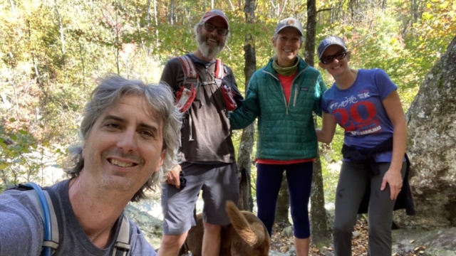
They pulled into our camp before noon and we stood for a while talking about life, old times, his recovery, our travel, all kinds of stuff. From there, we headed to the trail that the team had hiked the day before, but knowing anyone who loved these mountains would enjoy experiencing it. We made the round trip down the steep trail, passing a group we had hiked down with yesterday returning from their night along the river. We crossed the beautifully flowing streams rolling over rocks, dropping from above, maneuvering over and around roots and rocks, many hidden by freshly fallen leaves, down to the river. We walked along the river, stopping to talk more about good old times and things we all want to share in our future. The conversation as rich as the area around us provided an afternoon full of good exercise in a beautiful place.
We returned to the car and headed back driving past camp and then right into the Wisemans View parking lot which was packed. We parked and did the short walk down to the view where we shared it with these two and yet another large crowd of people. It is an amazing view where another couple was being married among the flow of spectators. They drove the team back to camp where we all said goodbye for now. I might never get my redemption Ironman event with this guy, but as a couple, we are fortunate to call them friends.
After they left, we sat for a bit with a cold beer and wine before breaking out the cookware for a nice meal. We stayed around camp, discussing next moves, and going through the list of places we’ve stayed to reminisce about them, the good and bad. We set off for bed to read and for a good night sleep.
The next morning included chores as a pre-move day, where we made a drive to find reception so we could book an RV site as it was well past time for a shower and groceries. We set off down the 4 miles of Ole NC 105, passed the already packed parking lot to the falls and then right to the first gas station to check reception. It turns out the gas station was closed and out of gas with no cell service. So we went north towards the town of Linville, about 4 miles, and pulled into the next station. There, we fueled up and asked the clerk where we could dump a bag of trash and he told me back south just past the last gas station we left that had no gas. So we drove back there. We tossed our heavy bag of four days worth of trash into the container and now, for some reason and not logically speaking, returned along the same path looking for cell reception. We passed the gas station, out of gas, and the gas station with gas, before making our way to Highway 221 and a gas station sitting next to a fruit and nut stand with cell service.
We pegged our desired destination and made a reservation for one night at a KOA, which appeared AOK, east of Spartanburg SC. We then started researching the area of the SC coast called Francis Marion National Forest with several camps showing on our map. So we called the reservation service whose automated attendant asked for a call back service which we did. As we waited, we walked over and purchased a bag of apples and some pecans.
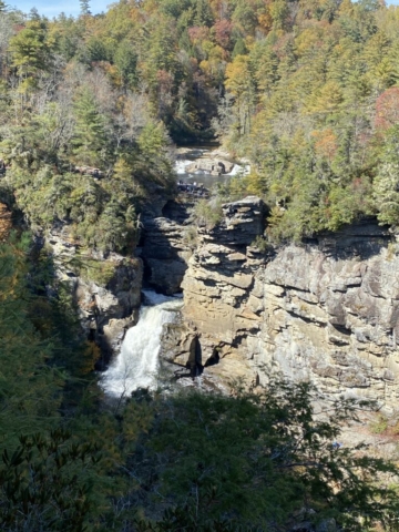
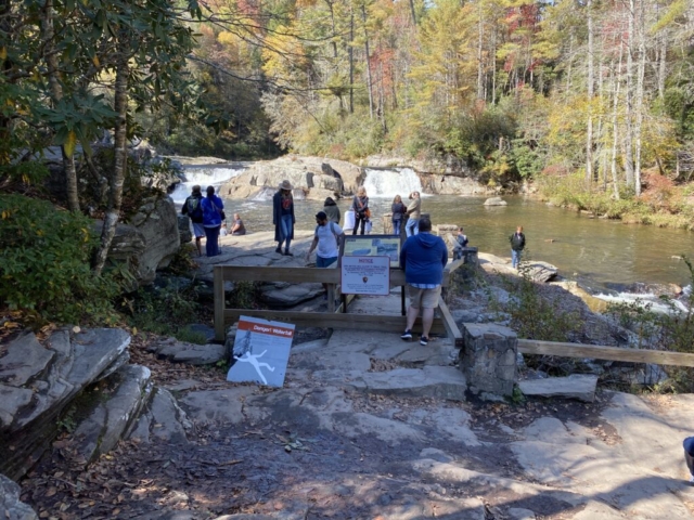
When she called back, we learned they had no sites available in the state of South Carolina and only two tent campsites as first come first serve. Disappointed, and without reservations past the KOA, we headed for a hike to the falls. We chose to look for the formal falls visitor center off the Blue Ridge Parkway somehow thinking it might be less busy because the hike was longer. Our assumption proved wrong as that place was much more the stew of tourists packing not only the parking lot but all along the road, wherever they could squeeze their four wheels, they parked. We turned and drove to the trailhead off Old NC 105 where it was also pretty full but we were able to find a spot. We hopped out and quickly found ourselves marching in line with many others on the double wide trail. We pealed off at an overlook which went up, discouraging many in our pace, and giving us some breathing room. We marched up the hill to the overlook where we looked over and headed back down to the main show.
The falls are nice and amazing. They have gorged out a Z shaped pattern through the massive rocks with all that sitting in a large canyon. It is worth the stop and battle for space to see and we were glad we did.
We made it back to the car without a lick of COVID on us, we hoped, and headed home. The road, not nearly as busy as before. Most vehicles were trucks moving bear hunters communicating with radios up and down the road. Jumping out with rifles in arms. We asked one about this and he said they aren’t allowed to bait bears here so they must use the team and technology method to track and shoot them.
Now home, we decided on a bike ride. The bikes have proudly stood by and waited as we did all the hikes and whatnots. So we saddled them up and headed out. If we hadn’t mentioned it before, the roads are steep, mostly hard packed gravel or dirt. We left, turning right out of our campground and downhill, never pedaling for the first few miles. Then the road went up, likely 15% grades at times. The climbing was tough. At one steep hill, Lysette decided to turn back while I continued on up for a few more turns before hanging a left into a vacated camp spot with an awesome overlook across to Table Top Mountain. Turning back now with a few good steep downhills before the climb started back to go home. I pressed on and about three quarters of the way up, in full-on aerobic meltdown, I unclipped, knowing that restarting on this incline wouldn’t be possible. So hiking the bike was on. All the while looking around each switchback for Lysette who had turned back before me with the parting words, you’ll certainly catch me.
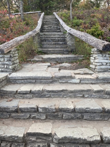
I finally got to a point flat enough to restart the pedals and pushed upward to the campsite with Lysette no where to be found. Disturbed by this, my first thought was she was taken by one of the bear hunting trucks, but then realized she likely continued past the camp site to Wisemans View overlook. So I quickly remounted the bike asking Toohey to work just a few minutes longer. I pushed hard to the parking lot, asking a few couples along the way of they’d seen a sexy siren of a woman on a bike and they responded, no, but we did see a nerd on her bike. So I pushed on, down the path, choosing the steep quick descent versus the wheel chair grade ADA accessible path. I made another short cut around a well fed couple walking side by side, then to the end. She wasn’t there.
I quickly turned the two wheels back in the direction of home thinking maybe, just maybe she had taken the gradual grade of the wheelchair ADA route versus the steep bit and we’d passed there. So I pressed on.
I made the turn into the home and there she was, bike parked, she had in fact taken the wheelchair ADA path. We laughed, fed Toohey, and got into the night thing.
Camping in the Pisgah National Forest along Old NC 105 has been great. The mostly flat site, protected by hardwoods, laurels, and rhododendrons, with a slight opening at the entry to passing motorists, cyclists and hikers had great access to many trails leading down to the river gorge, the nightly short walk to the Wisemans View Overlook, all combined with “free” for a 5-star rating. As we sat in our 5-star rated camp spot each night discussing where next, the topic of not being cold for awhile remained the consistent theme. We pulled the map out and made the decision to go coastal rather than continuing down the mountain range. About the time that decision was made I got a rogue email stating that the KOA that we’d booked for the next night had no restroom access. The owner saying in his email that there’d be no penalty if we needed to cancel the reservation, of which, we did.
The next morning, move day came, Lysette got up to watch the sunrise at Wisemans View. Our plan was to exit early to beat the traffic on the drive out. We had a quick breakfast of all the remaining eggs, some nuts, and peanut butter, packed it all down, rigged it all up, and set off with no place to go.
The departure was perfect with our last stop along the road to dispose of trash in the Linville Falls visitor center trash cans. We made our way out to Highway 131 and into Morganton where we had good reception. With our destination now coastal, our A choice was the KOA on Lake Marion in South Carolina. We booked it and now had a home for the next two nights. This site sits a couple of hours north of Savannah. Research and Travel then set the google filters to “No Interstate” mode and with a full tank of gas, we were off.
South Carolina
Comparing South Carolina to Georgia has to start at how each colony was formed. The Carolina colony established around Charleston is separated from Savannah, the colony established for Georgia, by about 60 miles as a crow flies down the coast. The separation is much larger in terms of its early white inhabitants. Savannah was established as a social project of sorts by the Georgia Trustees in England, as a place to relieve English prisons of debtors. The early charter provided for small parcels of land laid out on a grid, each given equally to freed colonist, and prohibited slaves, attorneys, and rum. Charleston, on the other hand, began with big money plantation owners complete with large land ownership, operations unfortunately made successful on the backs of slaves, resulting in a high-falutin, country-formal lifestyles enjoyed while lounging in the tall backed rocking chair on the front porch with Belvedere, the trusty hunting hound sitting alongside, sipping mint juleps. As a result of both, there is lots of history, complex and interesting cultures, and plenty of opportunity for those interested in learning about the states.
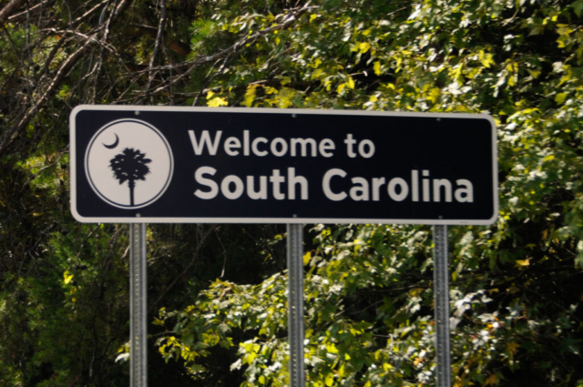
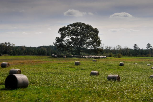
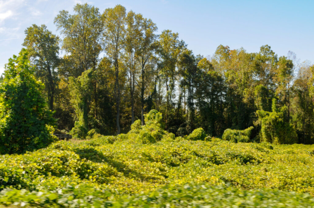
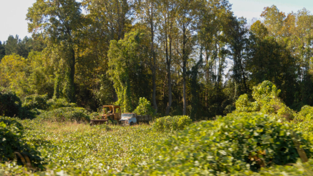
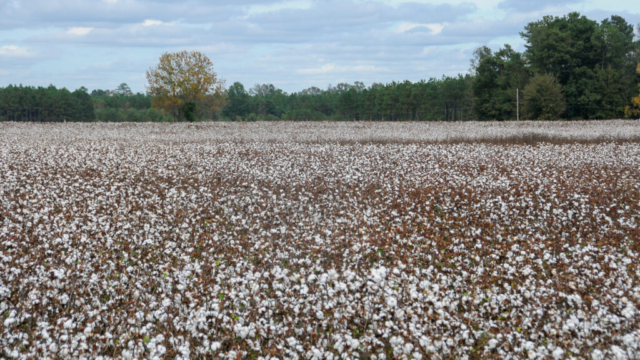
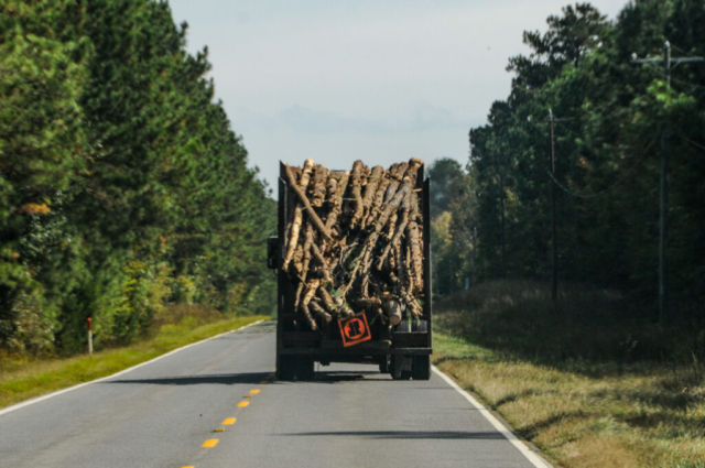
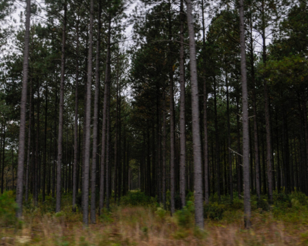
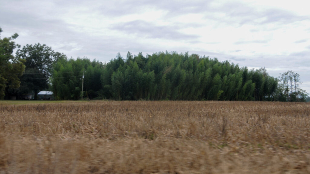
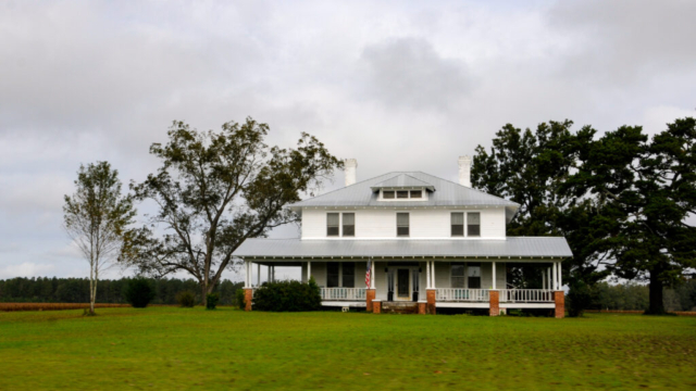
The drive into South Carolina was everything we expected. From the Tacoma window where we’d once viewed corn and sunflowers, we now saw tall slender rows of pine trees grown for paper and lumber, fields of cotton now replacing hay, and colonial plantation houses now replacing mountain cabins. We saw our first banana and palm trees along with magnolias whose leaves were always a pain to rake, whenever I actually raked.
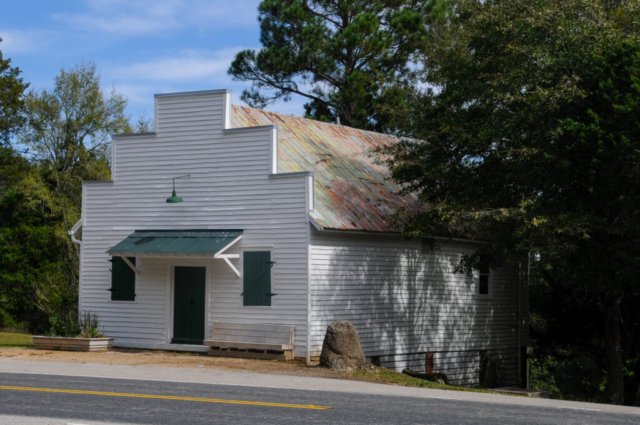
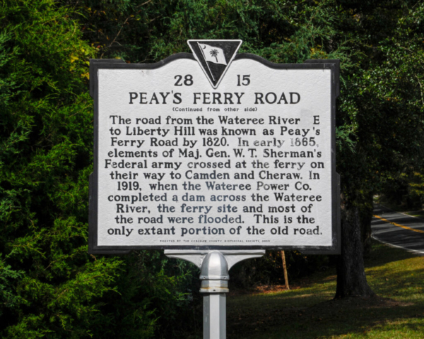
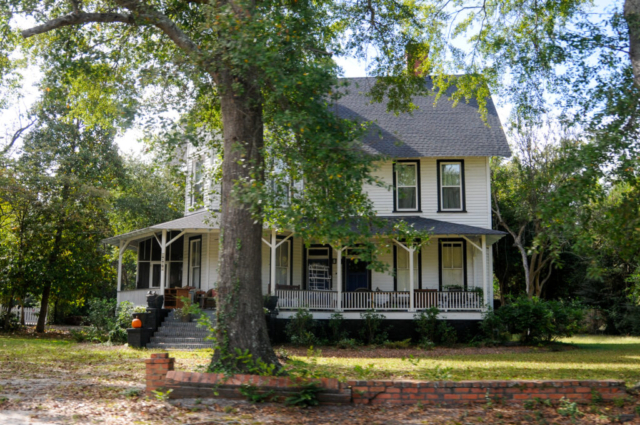
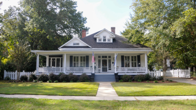
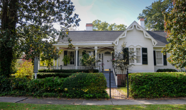
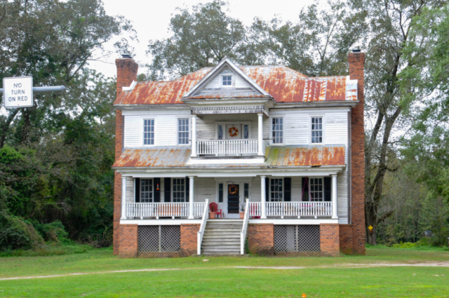
We passed through Great Falls, Liberty Hill, and larger towns such as Camden with stately homes along the main road and an historic area of the original towns homes still remaining. An area we both enjoyed was the stretch of highway 97 between Great Falls and Camden that appeared to be large patches of hardwoods left to grow, some areas swampy, and others not. The road flowed along over hills and through the forest. We frequently passed historical markers telling the story of its rich history from colonial times through the civil war.
We arrived at the KOA, which was AOK, pulling alongside a man in a van selling his vegetables to the staff. One staff member commenting on moonshine pickles, then with half burnt cigarette in one hand holding the opened jar, reached in and pulled out one for me to try, offering it to me from her fingers. Given that it had been jarred in moonshine, I felt it was beyond even COVID’s ability to survive and without thinking much more, I reached over and ate the sweet pickle slice, not only tasting the sweetness of the pickle, but the light sense of alcohol.
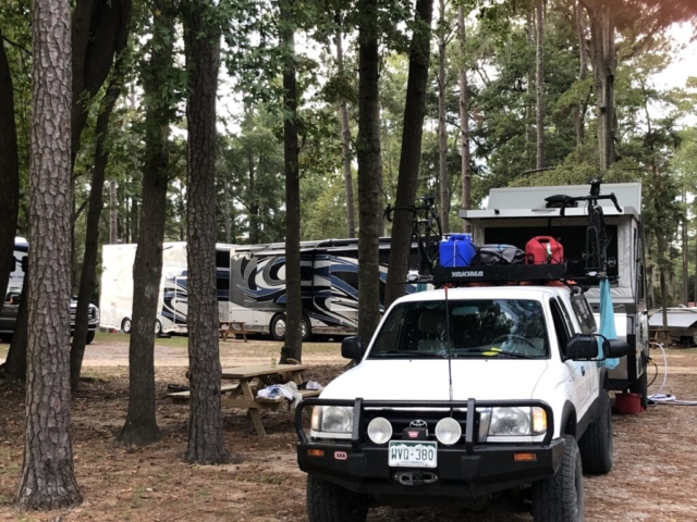
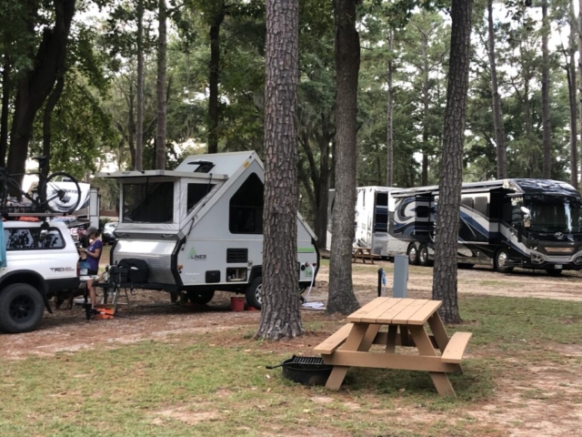
Check-in was by phone only, interesting given the employee had just handed me a pickle with her bare hand, and were told we’d be escorted to our site. We followed the golf kart through the kamp, seeing the lake and beach, then turning back away and into site G-4. This was a pull through site sitting beneath several tall pines and with a view of the lake through a few other camps. Our host sat in his golf kart and talked about his 20 years working here for the owner who is a doctor from Augusta, Georgia. He told some history of the lake, gave some advice on things to do, and then left us with the task of setting up camp, which we did.
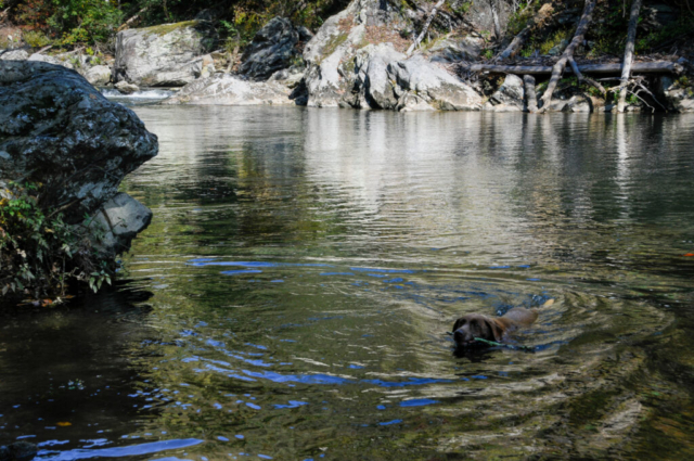
After Toohey was fed, he insisted on a swim, so we walked him to the beach tossed a stick or two which he happily retrieved. We sat a spell, opened a beer and wine, then showered. We had a conversation with another couple from Longmont, Colorado who, like us, rented their home and left for the year following a similar travel trajectory to ours. We returned to the camp for dinner and lights out.
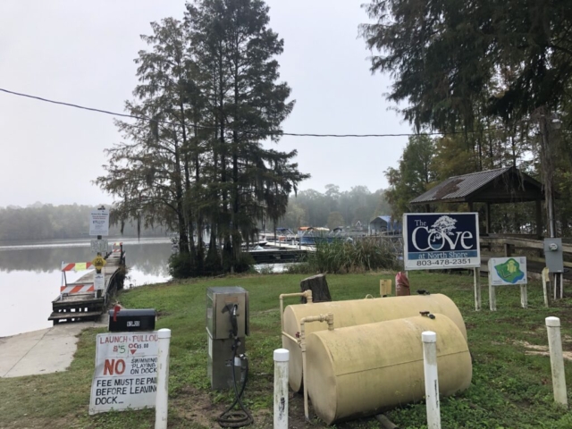
Our full day here was mostly planning, laundry, and lounging. We did items one and two and then decided to do a quick drive and walk around several of the nature preserves. But first we needed a quick run so we set off leaving the campground on the small SC country road, heading right. The road curved back by some condominiums and ended at fish camp with outside bar, shop, and mobile homes. The most impressive thing on the run was the decision on where to move the camp to next. With the need for some warm weather beach time, we decided to to make the move to Tybee Island and the Rivers End Campground. This would put us just outside of Savannah in a place we both were familiar with and a beach we liked. We framed this move as a beach vacation of sorts and easy button. The next step was to put the plan in motion, secure a campsite, and make the move. By late morning we secured the campsite thanks to some good work by the reservation folks at the Tybee campground.
The second objective for the day was to get laundry done. With the team mood now high, we got all the laundry done, and repacked for the next leg of our journey.
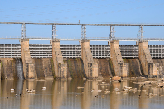
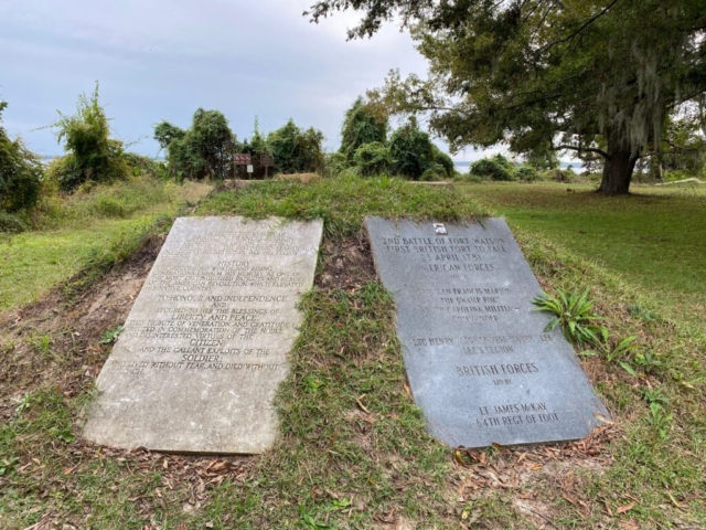
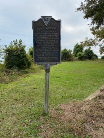
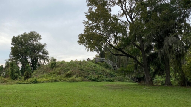
The last objective of the day was to get familiar with something in the area and we chose some of the national wildlife hikes and artifacts. The first one was a short drive of a few miles and a short walk, maybe 100 yards to a lookout tower over a swamp to view wildlife. The only wildlife, as you would expect, were hungry aggressive mosquitos that chased us back to the truck. We moved to a second short hike and historic Indian mound artifact. We started on the trail and were again chased back to the parking lot by the biting mosquitos. We continued to the historic section and were comfortable enough to take some pictures of the historic markers and walk the observation deck over the mound. It was apparently used as a British Fort or outpost to watch over the Santee River until those redcoats were asked to leave when they simply taxed without giving us a voice in the process.
The Indian mound looks like a large mound on otherwise completely flat land covered by native thickets, grasses and weeds. Impressive that it is old but otherwise nothing really that interesting to see.
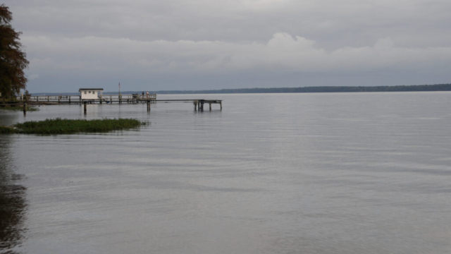
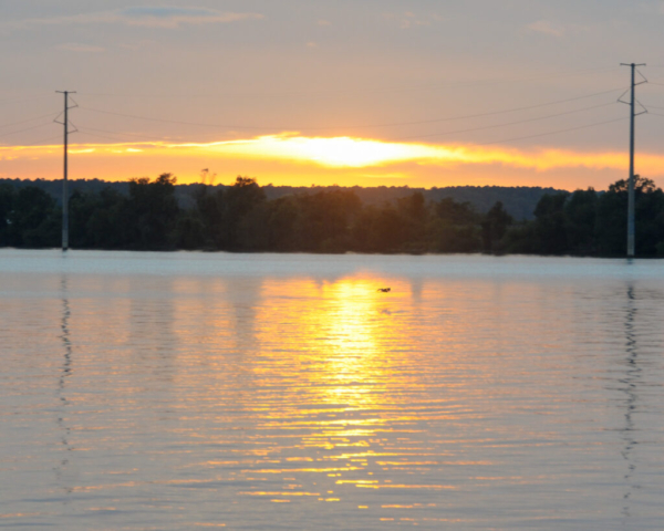
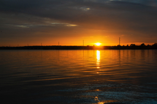
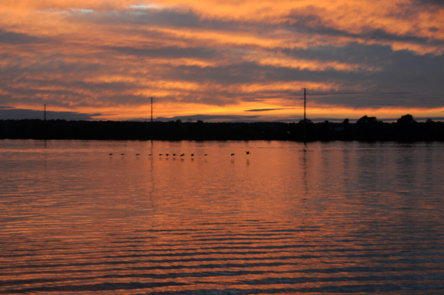
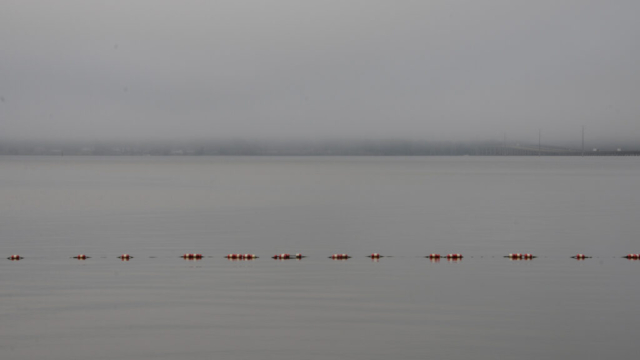
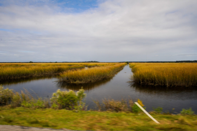
The area around the stop was also flat with earth curves downward into swamps occupied by smaller, thin cypress trees with their knobby roots sticking up. We saw lizards, salamanders and other things that live in this environment. Marion Lake is the damned Santee River and is a nice large body of what which to look over at sunset from the back side of the campground. My only previous memories of the lake being the bridge and section of I-95 running north south over the large body of water. So, it was nice to spend two nights getting acquainted but nothing really to keep us there.
We thoroughly enjoyed our time in the North Carolina mountains, enriching the memories and experiences I already had there. The place is packed with beauty and adventure, wilderness opportunities, clean air all things to keep me coming back. The drive down into South Carolina and the low country reminded me of the southern history that through all the conflict survives as an interesting place, a culture uniquely southern, and a place close to the home where I lived the majority of my life. A place I once took for granted but now appreciate so much more having spent time away. But for now, we drive east, losing altitude along each country mile, searching for the sea level, the warmth, and the beach as we continue our journey.


Comments
3 responses to “In My Mind I’m Gone to Carolina: The Carolinas”
Having lived in NC for almost 30 years it was fun to ride down the familiar mountain roads with y’all. Welcome to Tybee time. Hope to catch site of you at Chu’s while y’all are here ?
Another awesome episode! And the pictures are fantastic! Wish I were there!
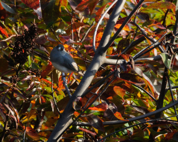
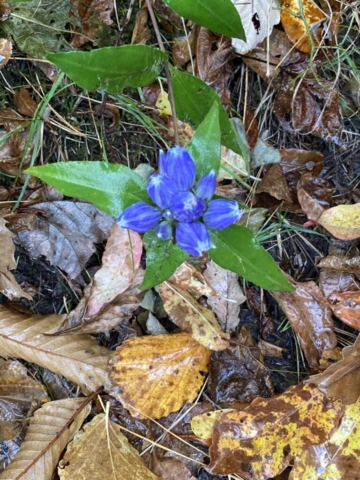
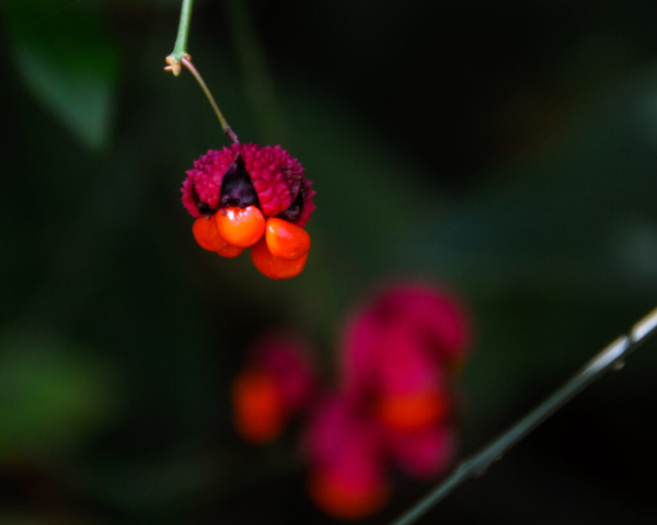
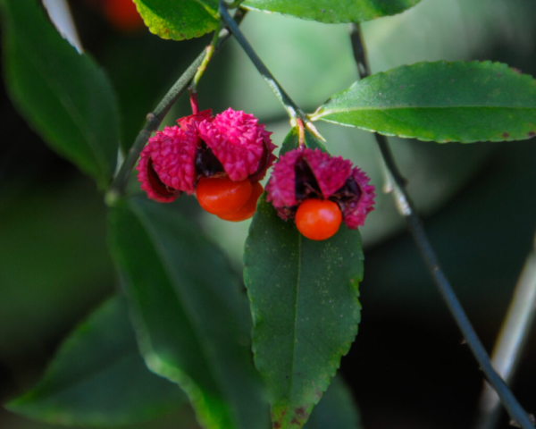
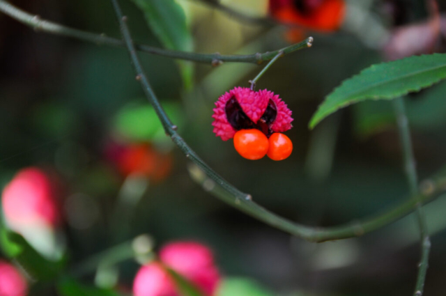
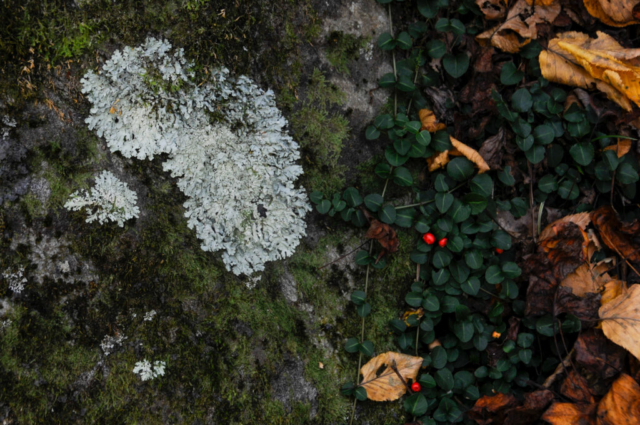
Did you photoshop those pink seed pods with orange berries. Amazing! Along with the blue ridge mountains. I feel like I’ve been places I will never get to on my own. Thank you