10/7/2020 – 10/13/2020
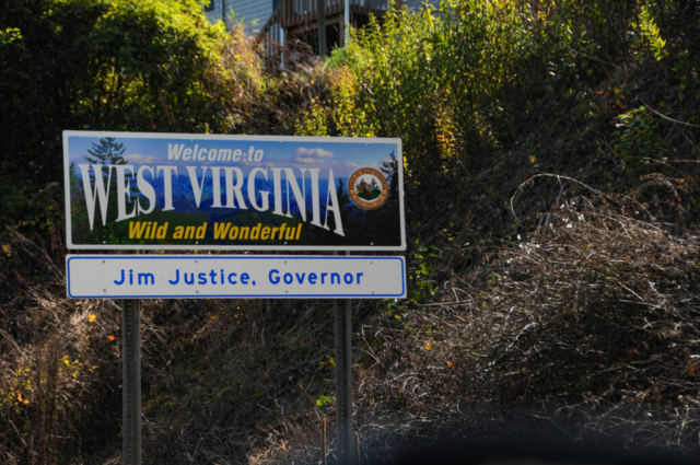
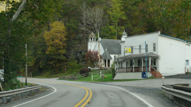
West Virginia was an intriguing place. A beautiful place, wonderful mountains, full of rugged adventure, a place that at first glance seemed to have let time get away. As we spent days exploring the land, wandering down small country roads with old farms, seeing their way of life, we began to fully appreciate that purity of innocence as a beautiful thing. As the physical place seems to have stayed true to itself, the folks out enjoying the area carried backpacks for overnight trips, multi-day hikes, fished the beautiful rivers, and enjoyed the natural peace, all while in a virtual blackout to the noise of the internet and cell phone service.
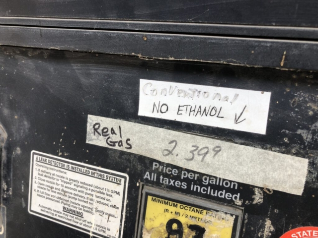
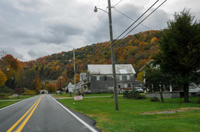
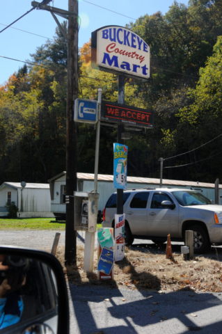
The mountains themselves were as rugged and rocky as anything we’ve experienced. The hills on the trails were steep and surrounded by beautiful forest. The simplicity of seeing gas pumps that roll numbers, allowing you the opportunity to walk inside to greet a human to discuss the weather versus transacting business with a faceless computer, where the gas prices are hand written on tape. There was a uniquely silent beauty to these West Virginia mountains that we greatly enjoyed. Our only wish as with each state, was the need for more time to immerse ourselves into the quiet life of the outdoors the area offers.
One of the interesting things about this area of West Virginia is the lack of cell phone coverage, not only in remote places but also in small towns we visited. After some research, the team learned of the United States National Radio Quiet Zone.
https://en.wikipedia.org/wiki/United_States_National_Radio_Quiet_Zone
While not its intended purpose, being without coverage over a large area can be quite nice, reducing the stress of the outside world and in fact, seems to align nicely with the feel of this place, as if time has slowed down before there was all the noise that comes from the distraction cupped in the palm of your hand. But be forewarned, as we were, that if you are planning a trip here, go old school, bring good ole paper maps as you likely won’t find any information on your pocket device again until you are well outside the NRQZ.
Travel Journal
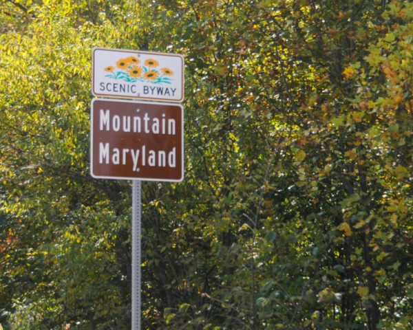
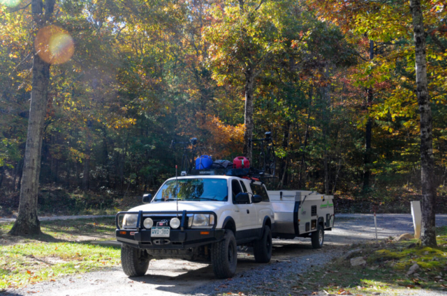
With the excitement of a popular John Denver song buzzing in our thoughts, we moved out of the Ohiopyle area of PA, moving swiftly, as swiftly as a 2000 Tacoma pulling 2000 pounds of home and all its supplies could move, up and over steep windy mountain country roads, west of the Blue Ridge Mountains, Shenandoah River, briefly first into Maryland, then crossing the state line into West Virginia and our first town of Gormania. The roads quickly went from well painted two lane to a partially blacktopped northbound lane that sporadically bled over the middle yellow lines blacking it out.
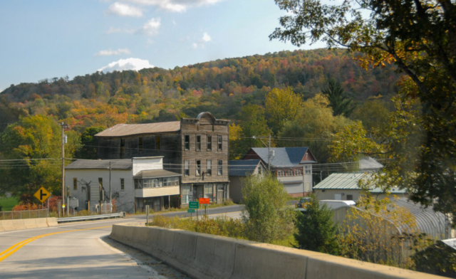
Gormania appeared a dying town. In fact, life is old there, older than the trees, younger than the mountains, no longer growing like the breeze. The buildings, except for the auto repair shop and the gas station where we stopped to fuel up, weren’t functional. With wood, paint, and structural integrity gone, they appeared empty, as if life just got up and walked out one day never to return. But lacking any knowledge of fuel along the remainder of our journey, we decided to get some gasoline here.
After fueling up, I went inside to pay as the fuel pumps were the old school type where you pumped outside and, after the numbers roll to a stop on the pump, you pay inside. I entered through the glass doors with the sign on the door said “bathroom out of order” and stopped at the register. A stout woman, sort of a mountain momma type in her 30’s, seemed startled to have a customer, stood from behind the mostly silent commercial kitchen area separated by a framed half wall and walked over to ask me how she could help. Assuming she did not know I had pumped my tank full of fuel, I said, I needed to pay for the gas then we agreed on the amount, which I gladly paid. Sitting across the way at a counter was an older gentleman who never looked up from eating some kind of breakfast burrito or sandwich. His eyes appeared tired and glassy, seeming to remind him of the misty taste of moonshine. When I asked her if the toilet was still broken, she emphatically said yes, they’d not let anyone use that thing. That was enough for me but leaving me with a teardrop in my eye.
Our travel gold for information on this portion of our journey came from a local near Elkins, WV who is a business acquaintance of an excellent friend and past colleague of mine. Based on emails and our detailed conversation with him we learned that he has lived out west but loves this area for the mountain ruggedness, splendor, and activity to be had in such a tight area of the country. He provided a wealth of information to include camping spots, hiking, fishing, how to avoid crowds and so on, making our trip planning so much more direct. The one piece of advice that he provided and we didn’t fully heed was the extreme lack of e-information based on the NRQZ. But his help and information went a long way to making this area productive so a huge thank you!
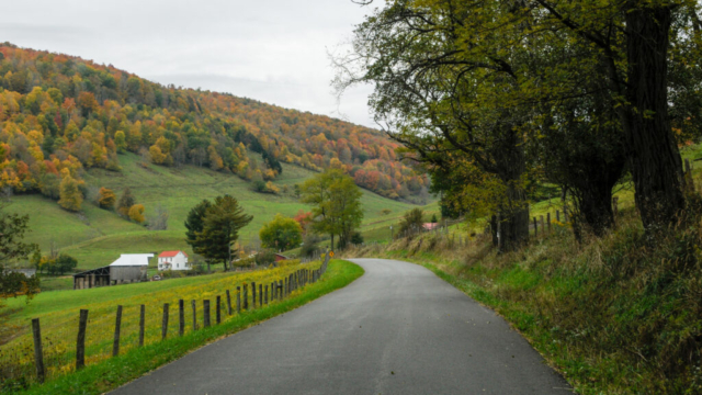
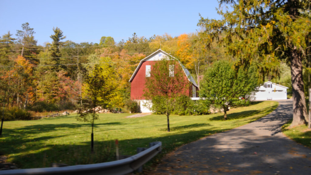
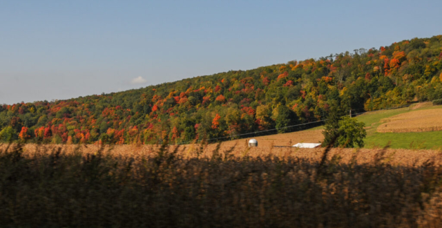
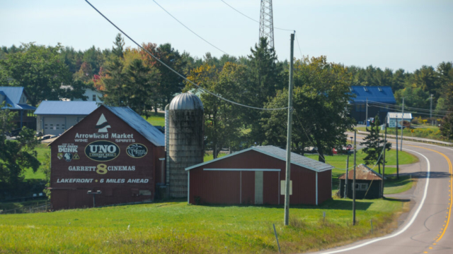
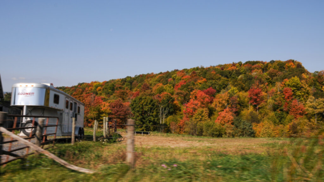
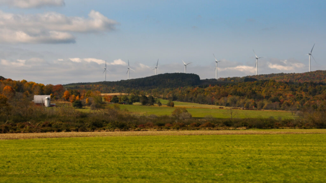
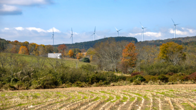
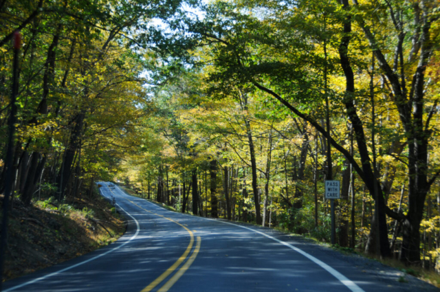
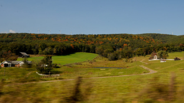
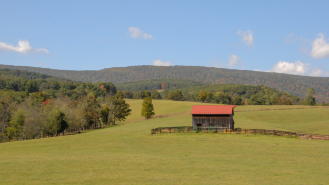
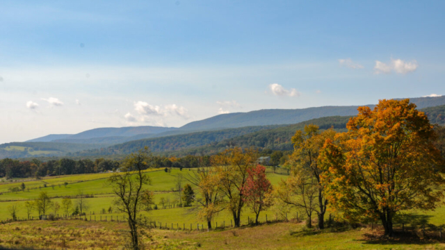
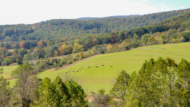
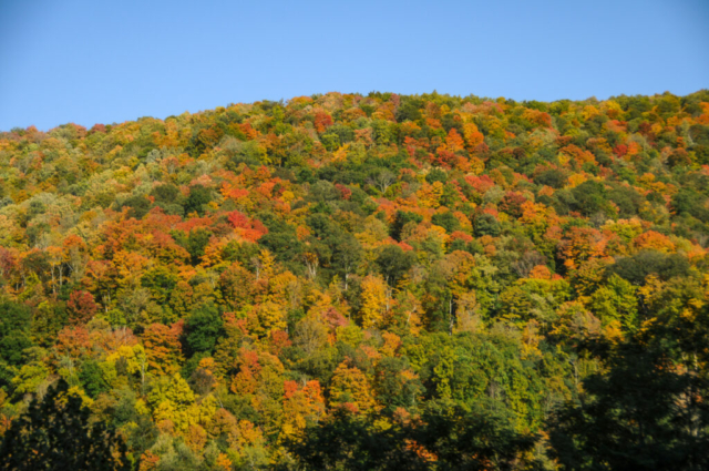
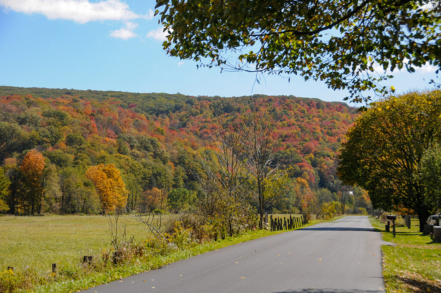
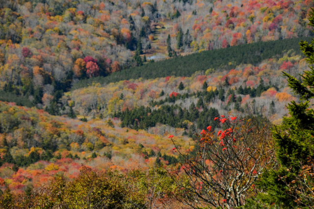
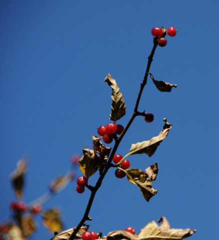
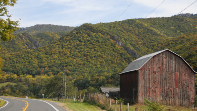
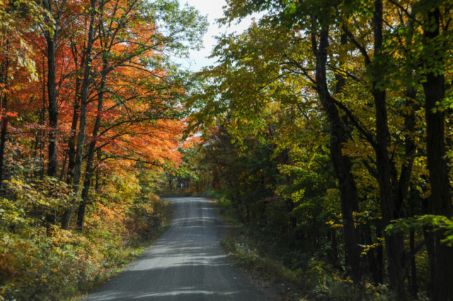
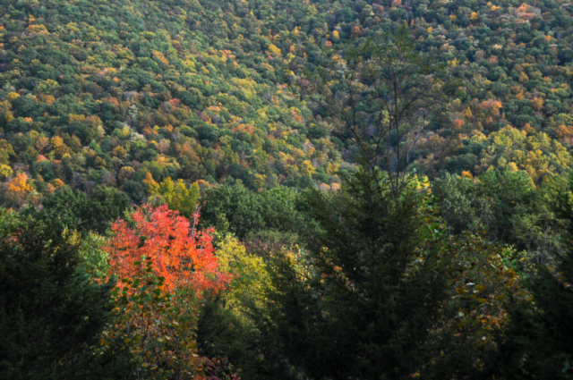
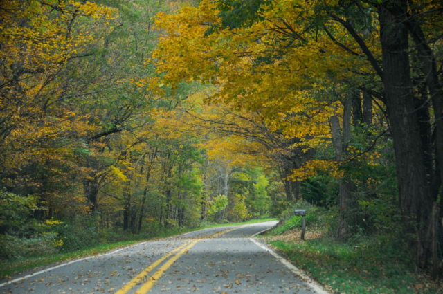
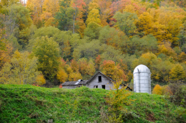
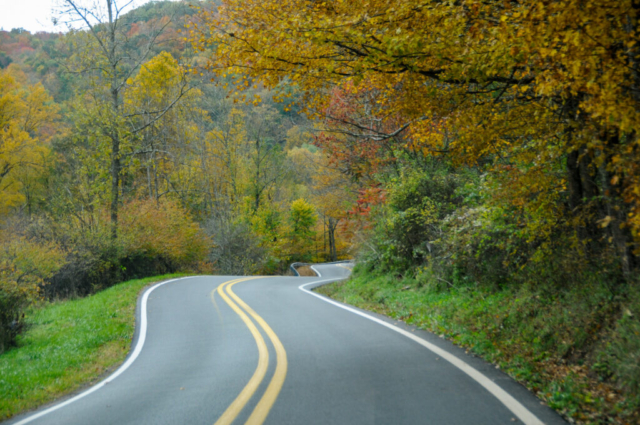
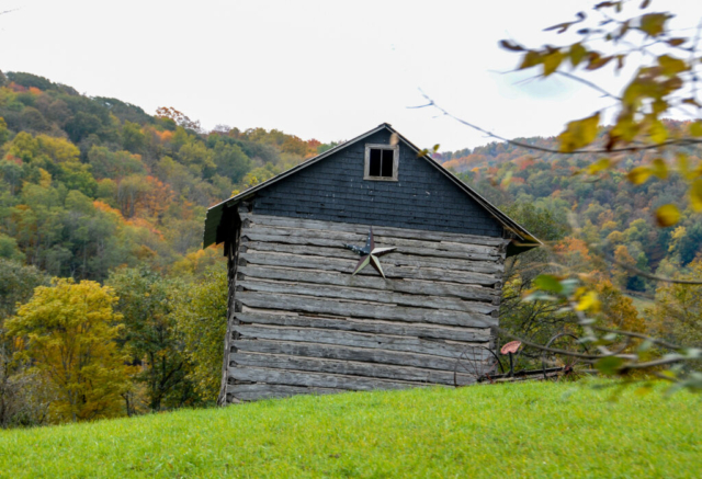
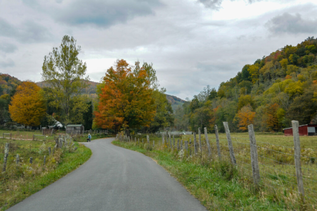
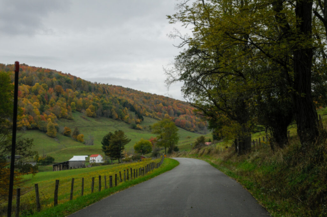
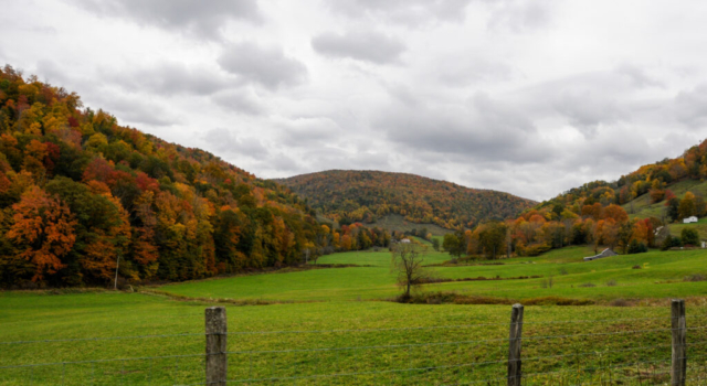
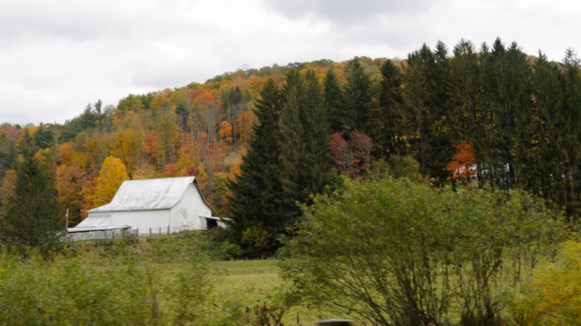
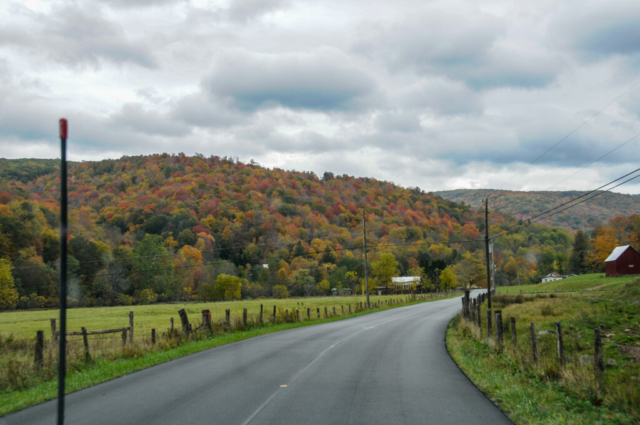
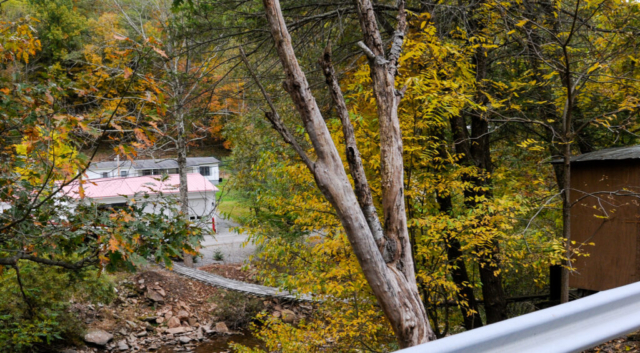
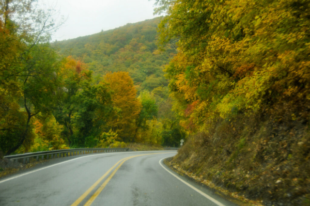
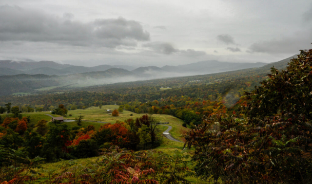
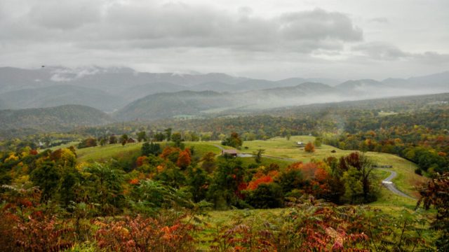
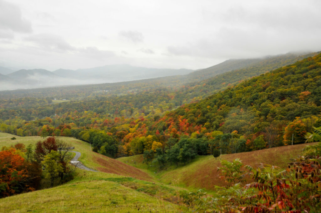
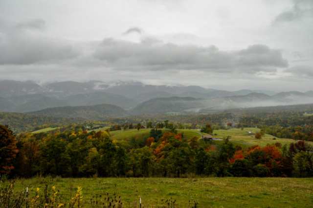
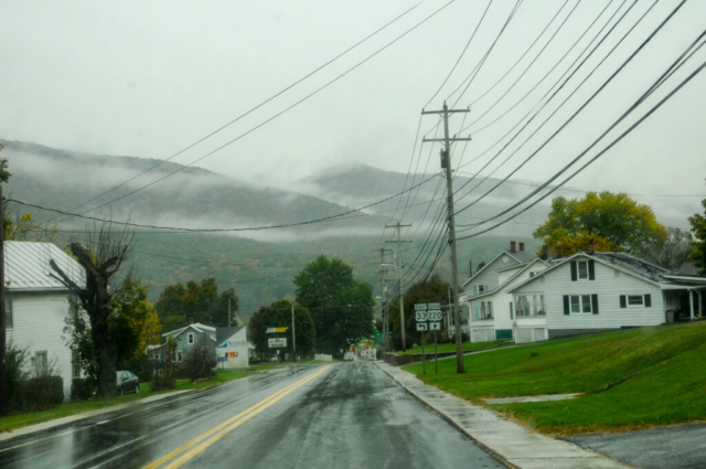
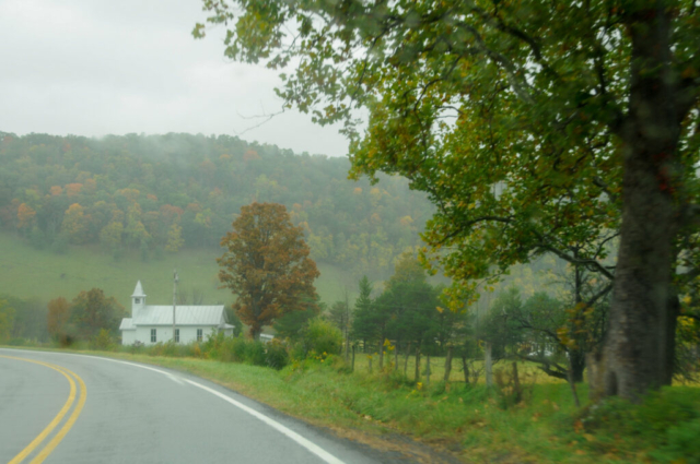
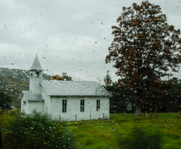
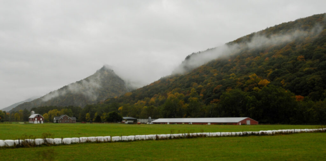
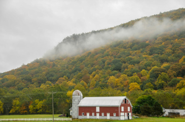
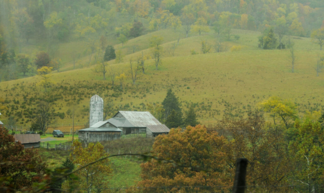
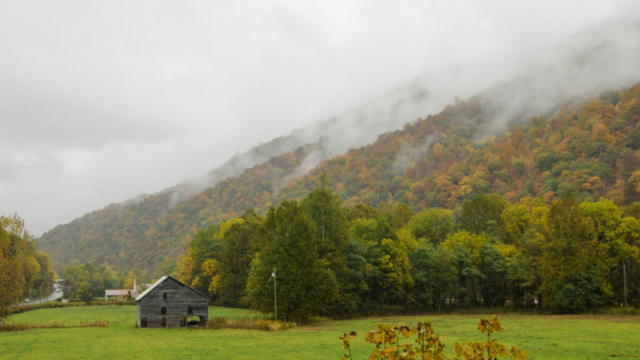
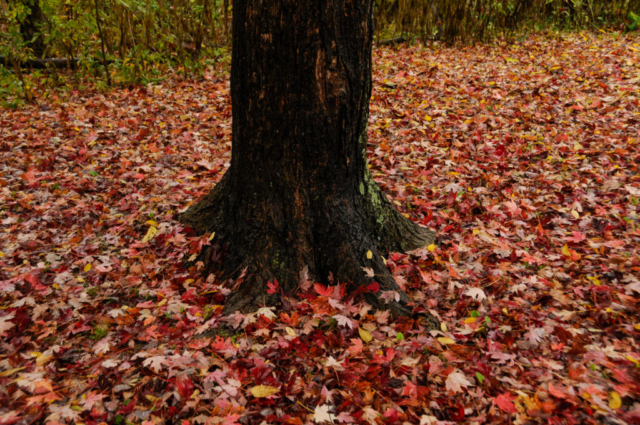
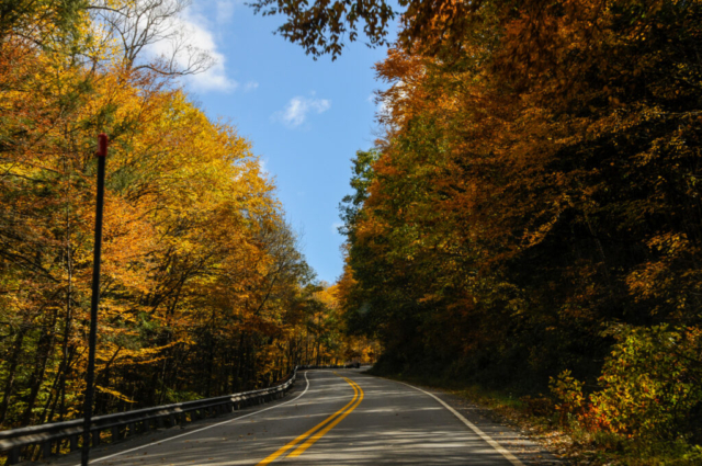
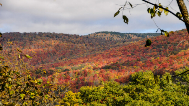
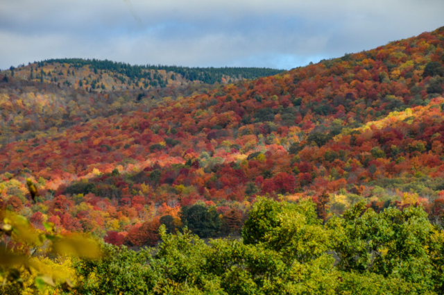
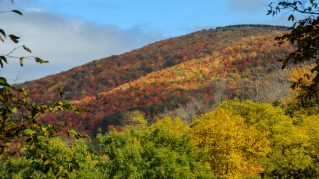
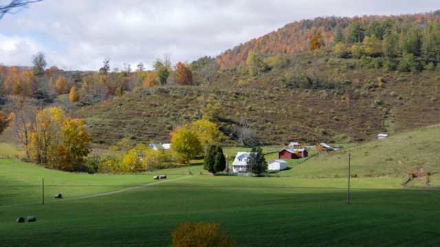
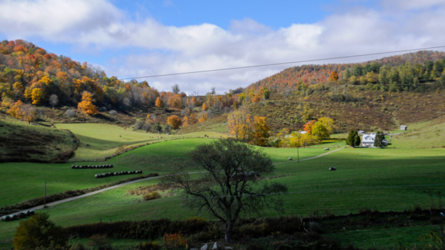
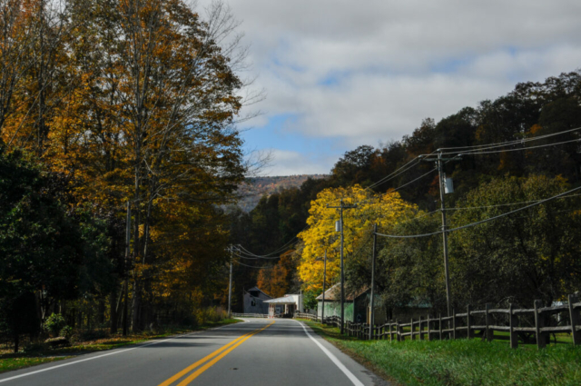
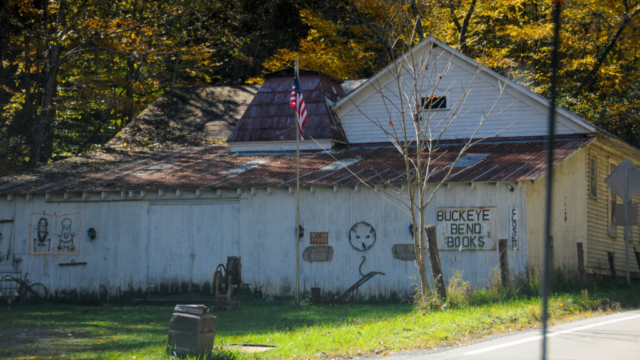
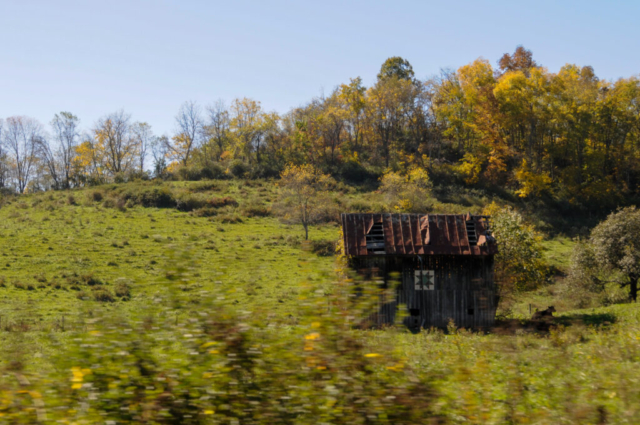
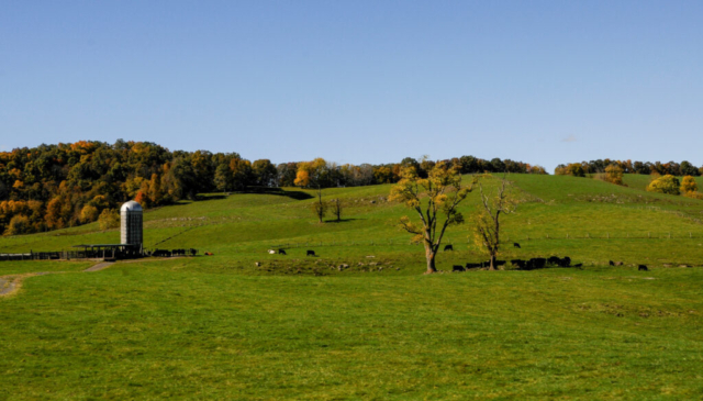
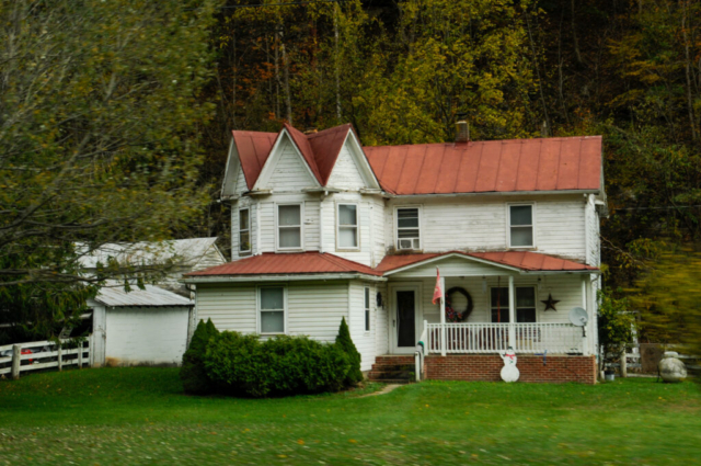
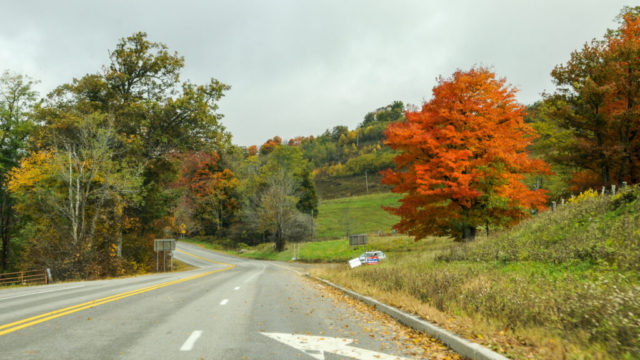
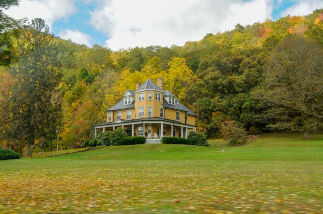
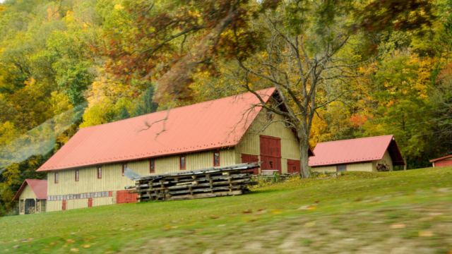
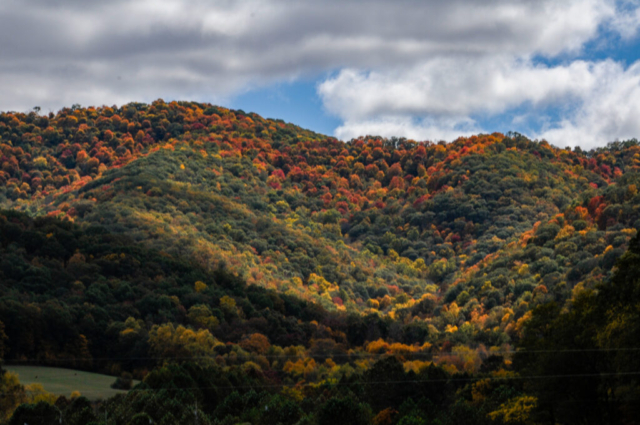
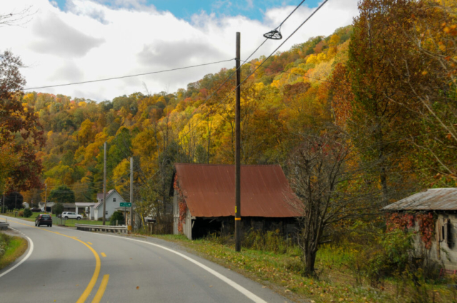
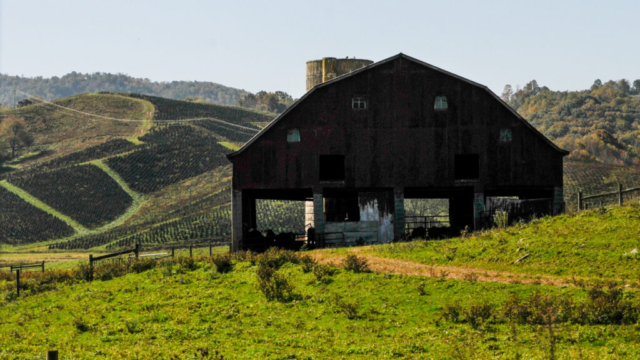
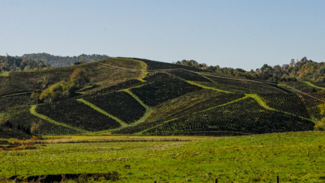
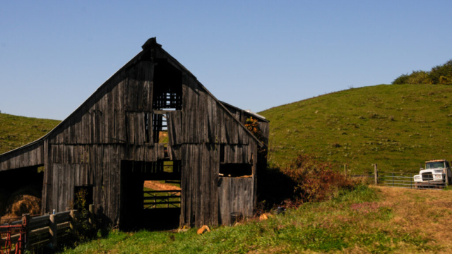
We moved on from Gormania, following the yellow mid stripe that occasionally appeared and disappeared beneath the black top, never seeing anyone working the road. We passed signs to Canaan Valley and Seneca Rock. We rolled along a valley of small farms and pastures all backed by steep, high forested, and rocky hills complimented with fall colors. The homes and structures were a mixture of old and new, with the old livably maintained. Mixed in were some quaint and older historic looking farms. In fact, one of my favorite things was seeing the older farm houses and structures sitting in the green pastures, lined by the densely forested mountains as they flowed up to the sky.
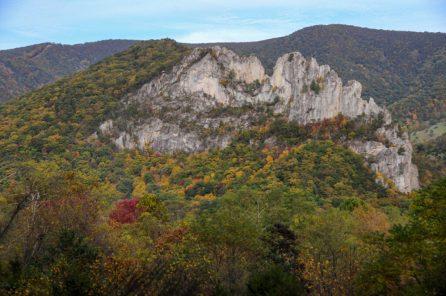
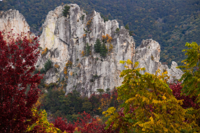
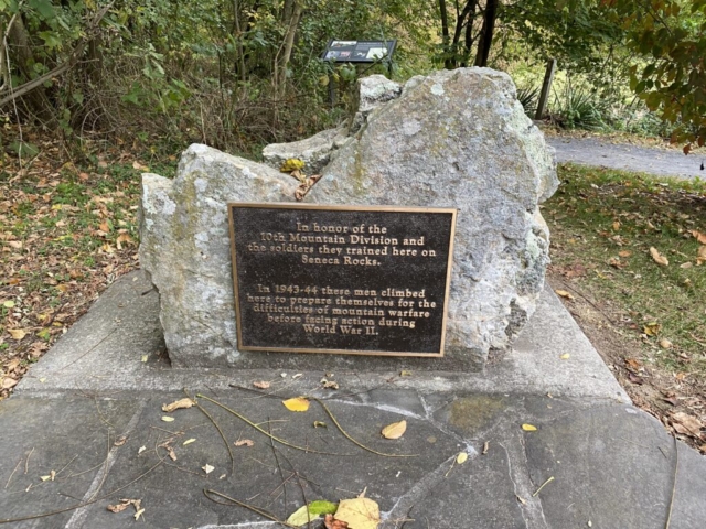
As we entered the four way stop intersection of Seneca Rock, we saw the old two story business structures now used as mercantiles and guide services, filled with folks here to enjoy the area, with the large spectacular rock outcropping to our left, the east giving the place its namesake.
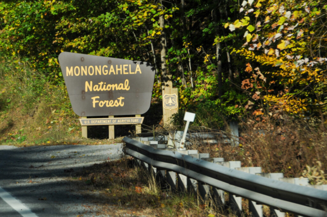
The Seneca Shadows campground was another mile up the road, passing the Monongahela (referred to as the Mon), Seneca Rock Visitors Center on the left, and then a right turn into the campground. Our initial strategy once inside the campground was to grab one of three electric first come first sites all of which were in loop C. All were occupied and in fact all the other electric sites in C were occupied and/or reserved. We circled back to the camp host for a friendly conversation and to investigate other possibilities. We learned there was a cancellation in B loop, a primitive site, open until Saturday giving us three nights. We accepted and set up home in B loop site 15. We also learned that one first come first serve site in loop C will be vacated on Friday so we could quickly grab it before anyone else did and could stay there for up to 14 days. Plan made, so now time to execute.
After a quick set up in B loop No.15 with no electric beyond what is stored in the 12 volt battery and whatever the sun could grab through our solar set up. Out of everything but Coors Banquet and 5 eggs, we decided to drive into Elkins where there is a Kroger for a full restock and to pick up a prescription at the Walgreens. The remainder of the day was the 35 mile each way, drive over 3 mountain passes into the town. It was a beautiful drive, busy at times mostly by those using the road with for work therefore having less time to slow down and enjoy it.
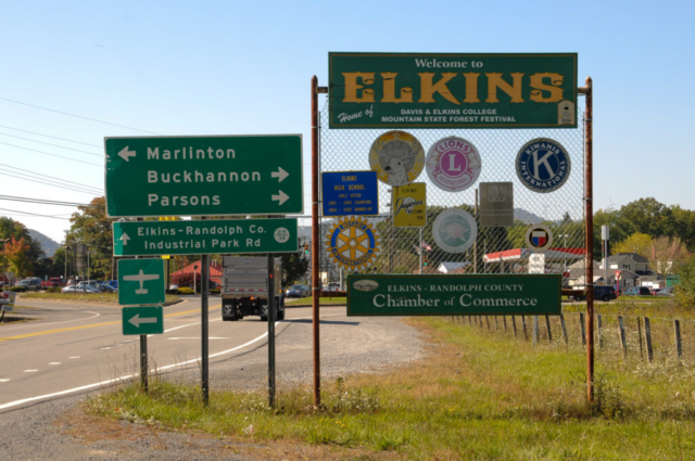
The town of Elkins, with the tag line of Unexpectedly Cool, was a bit underwhelming given its proximity to these mountains and the outdoor recreational opportunities. We both agreed the place we’d expected to see would be brewing with outdoors adventure shops, beer taps, and young people wearing Patagonia puffy jackets and plaid, much like the overwhelmed and over populated outdoorsy towns in Colorado. But mostly, our first impression was that it seemed old and a bit tired. So in search for the beauty we know is here, the country roads, to take me home, to the place I belong, our journey now will be along the country roads, the ups and downs, curves and lush gorgeous scenery. West Virginia.
The rest of the evening was spent organizing what we had just purchased and dinner, a nice pan seared steak, sliced, blackened sweet onions, over a salad with a glass of Cab Sav and dark chocolate for dessert.
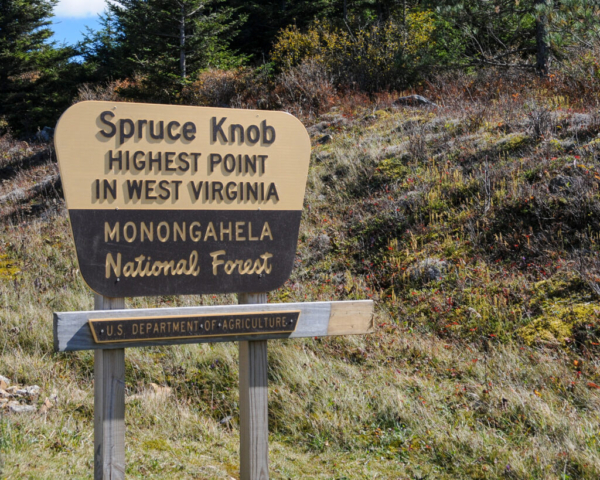
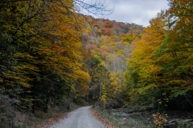
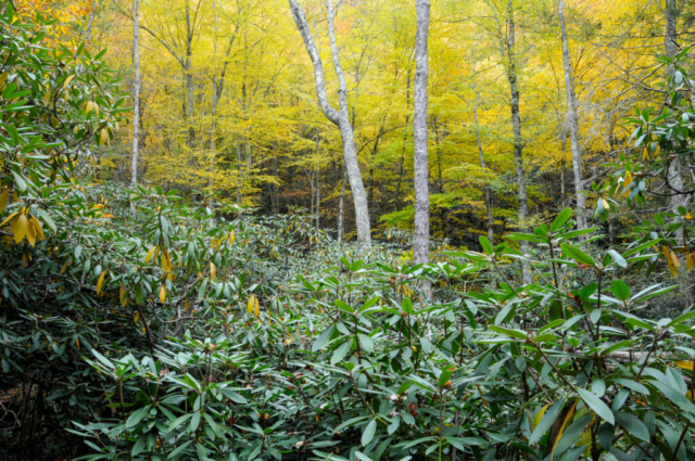
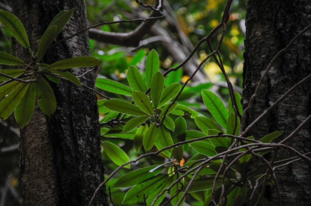
We woke up day 1 with the prospect of sun and some outside activities, but a slow start. We hung around camp, wrote, photographed, talked, ate, and took deep slow breaths of fresh West Virginia air. Out plan for the day was to drive up to Spruce Knob, the highest summit in the state at 4,863 feet, check it out then pick up a hike several at camp had hiked called Huckleberry Trail. The route we took, turned out not to be the closest access to the summit, was back towards Elkins along Highway 33 then left at the brown National Forest Service sign that said, Spruce Knob. This drive took us first along an amazingly beautiful small valley road filled with local farms and all the West Virginia charm you could imagine. The valley followed Gandy Creek, which twisted and turned along side and sometimes beneath the road, and was draped with mountain laurels over the uphill side of the banks. As we entered the National Forest we passed through a designated dispersed camping area that had a large number of pull-offs between the river and road, sized mostly for tent and small trailers. After a while, the road got steeper, winding along the gravel forest service road, passing the Spruce Knob Campground on the left, another main access road coming from the south right) and finally the Spruce Knob Summit parking lot.
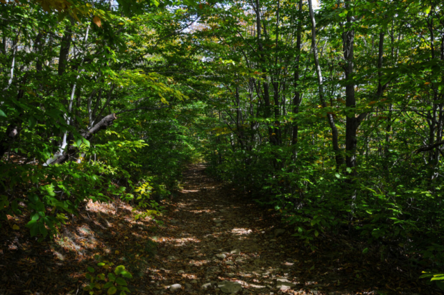
From the summit parking lot there is a short 1-mile loop hike that takes you around the summit with a fire tower to elevate your views of the surrounding valley. This trail, fully equipped with the knob’s namesake of spruce trees, provides a shady, cool walk. The trail emptied us back in the parking lot just across from the Huckleberry Trail. We pulled our hiking packs on, grabbed a few food bars for food and made sure the water bottles were full before setting off. The strategy was for Lysette to take her time to see the place through the viewfinder while Toohey and I wandered a little faster pace and distance. The team agreed to this with Toohey and me turning back at times to group up.
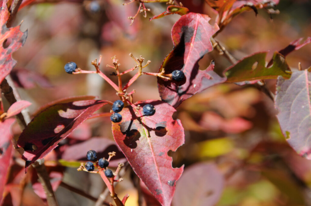
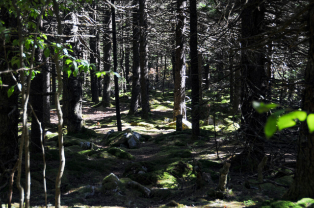
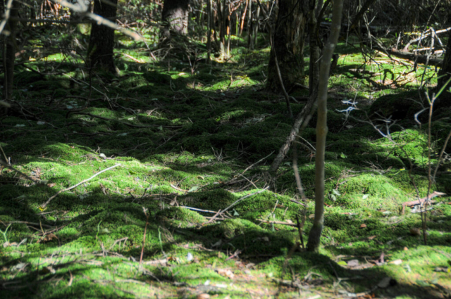
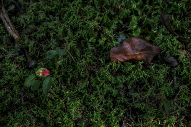
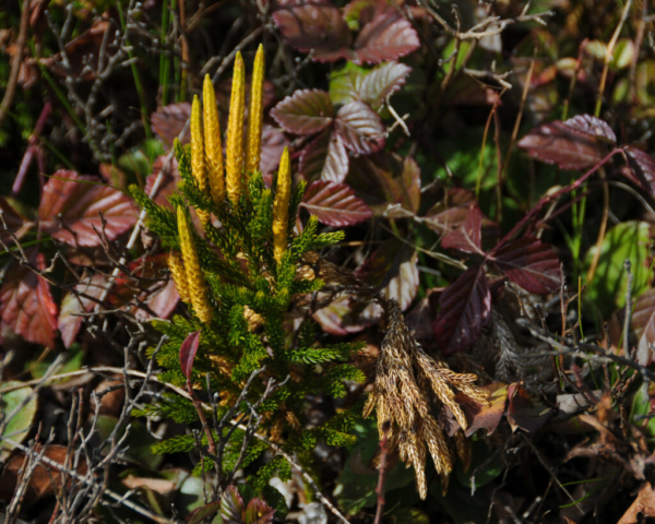
The trail was described by our fellow mountain enthusiast as magical, with green moss or liverwort (there was an information board discussing the difference on the short loop hike which we quickly tired of reading before ever fully understanding the difference) covering the ground and rocks beneath the spruce and hardwood trees. This was beautiful place, full of interesting landscapes and healthy trees, providing a shady cool hike. The trail was extremely rocky making concentration the order of the day. Toohey and I passed several backpackers out for a night or two, walked through several unused campsites evidenced by the stone fire rings and followed the trail as it descended down the mountain. Mostly the place is well maintained making you believe the, as Edward Abbey calls them, Slobicus Americus hasn’t quite dirtied this place up, which was good to witness.
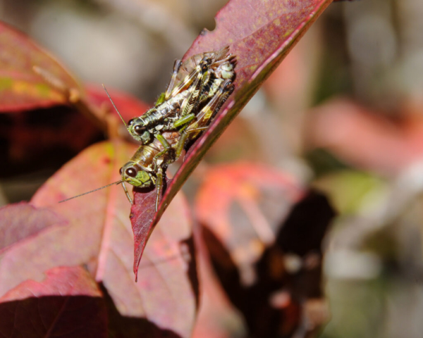
We turned back after a while to meet up with Lysette. She was excited to share what she had seen which was way more detail than the two of us had. We stopped to voyeur feast on a couple of grasshopper style insects in the act of reproducing on a leaf. She photographed some more stuff all while working our way back up the trail to the Tacoma.
The drive out gave us perspective on why it took us so long to get the Spruce Knob. Basically, our uncanny ability to wander with little information brought us in from the long side. We departed the short route back to camp, finding our way to Highway 28 where we turned left, then drove for about 11 miles before the left turn back into camp and home.
The remainder of the afternoon included setting up the fire pit to make fire, cooking, eating, and cleaning dinner. That night after sunset, we stood in the camp road gazing up at the stars, reminiscing of the desert sky and how big a brilliant it can be, and mostly how we need to just stand and look up at the night sky more often.
Several camps filled during the night as weekend warriors arrived late. Some even leaving before morning, likely taking a spot without registering. They were mostly quiet but there was occasional sound of tent poles and then a light shining through our camp.
The next morning was a potential move day for us over to the C loop where we would have an electric hook up. This wouldn’t be as important but given two things: Hurricane Delta and her spoils were to reach the area late weekend and we needed to remain in the area until Tuesday as we had a package expected at the USPO and it was closed Sunday, and to our lack of remembering, Columbus Day was on Monday.
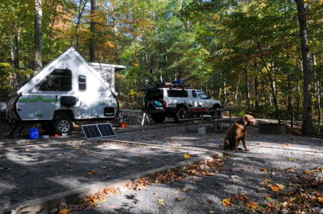
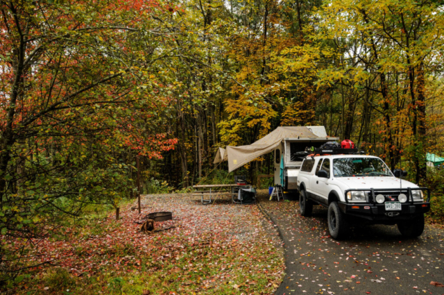
Lysette got on her bike and rode over to the bathroom located next to the C-loop to monitor our site. She came back saying they had already vacated so we quickly shutdown camp for the short move to secure the spot. All went well and we reset camp in about 90 minutes. Our land for the next four nights was No. 32 on Loop C, Seneca Shadows Campground.
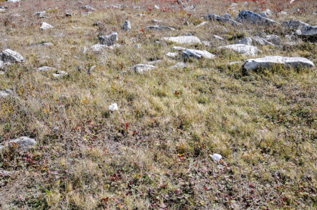
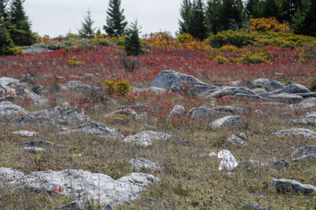
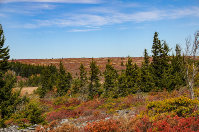
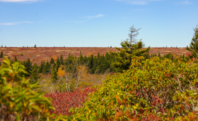
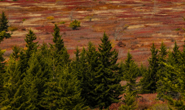
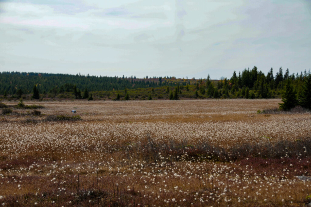
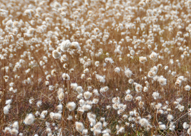
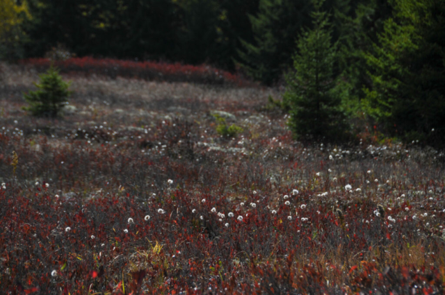
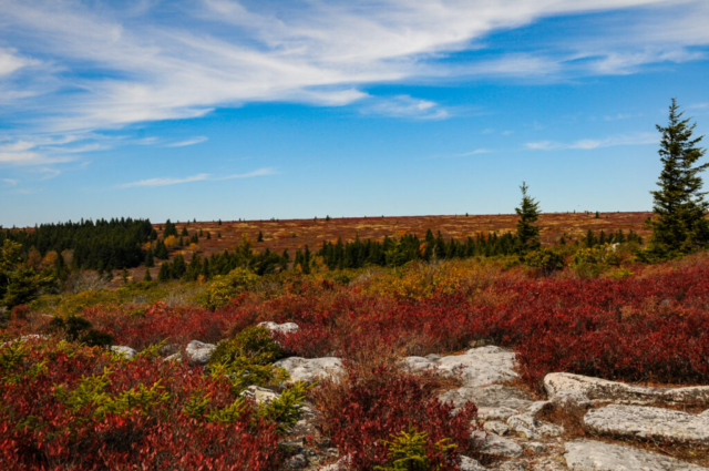
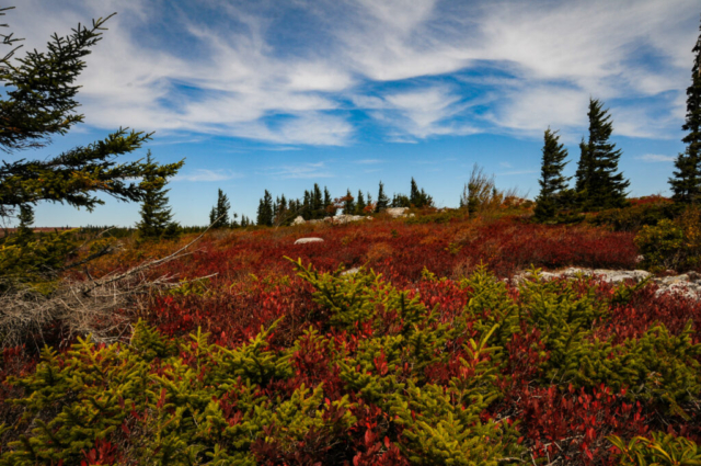
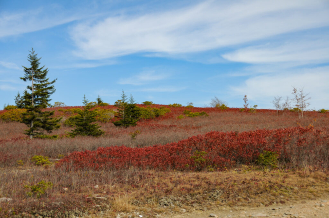
Following this and conversations with other campers and camp staff, who were all extremely friendly, we set off for Dolly Sods, a place recommended to us by everyone and one which would likely be busy. We had passed an entrance to the place on the way in the other day so had an idea, that along with the National Geographic Road Atlas, Adventure Edition, should get us there. It did, as we drove up on the place, the vast plateau of mountain tundra rocky and rolling with vast open areas. This place with the catchy name making us think of a country music star with big white hair, was full of people and cars reminding us of the issues with National Parks. We found a parking spot off the side of the road requiring high clearance and all of my wheel over several large rocks, and in line with a few others. As we got out, we saw lots of toilet paper disposed along the grass where the lack of toilets had allowed Slobicus Americanus to work their magic. Pack it out people!
The place, a wilderness area with no facilities other that some unreadable trail maps and large information signs was getting a huge human influx. The good is that many were out for the night or maybe two meaning they are getting into the wilderness to enjoy. The concern is that with all this there really should be some management of this area or we humans will continue to damage this precious finite resource. Maybe permitting to limit the use, designated camp sites so more aren’t created, and possibly a parking lot so people like me don’t drive on the tundra that took years to develop. Oh, and toilet paper. Who has ever taught their young that leaving toilet paper of the ground in wilderness areas is okay?
There was a large posted map where we were parked but it made little sense to me after several attempts. I would learn from another hiker with maps on stapled paper, that I wasn’t near the trail that I thought I was near which is quite normal. But given my energy and need to run a trail, and a trail starting in front of me, we were committed to here.
The plan was for Lysette and Toohey to hike the area while I set off for a run. The gentlemen who showed me where we were said there was an overlook of the valley along this trail so the overlook was now my destination. I donned my trail vest with food, water, GPS Spot, first aid kit, and set off, seemingly in a westerly direction. I set my phone alarms to alert me to turn back at 2 o’clock, a little more than an hour so we would meet at the truck at 3.
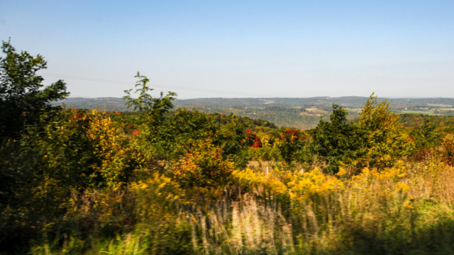
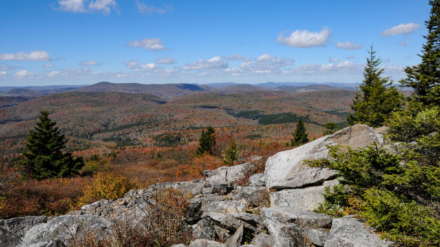
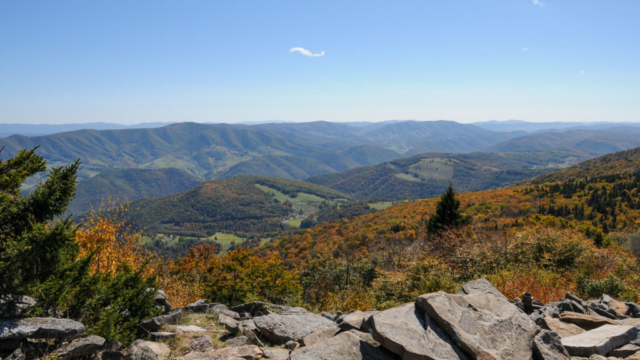
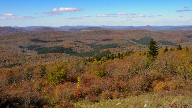
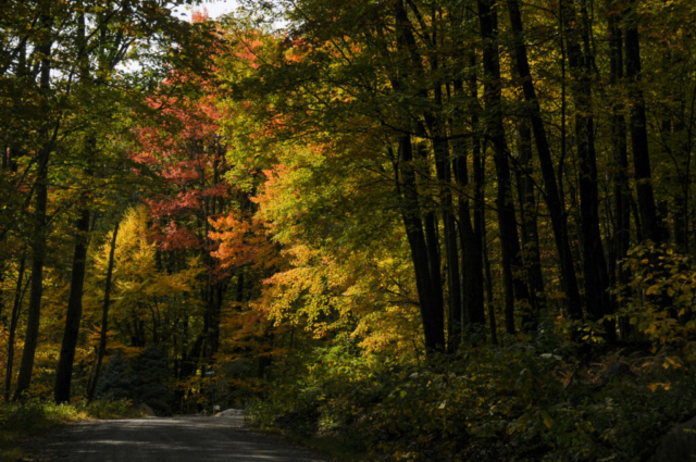
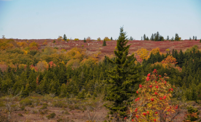
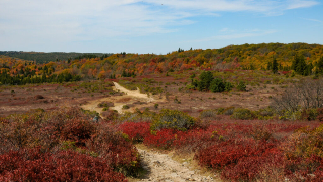
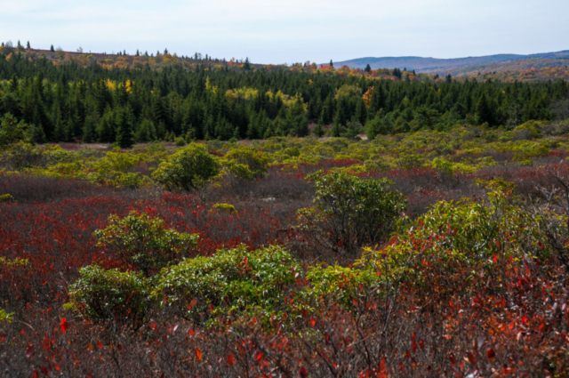
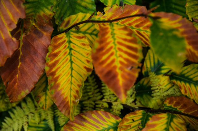
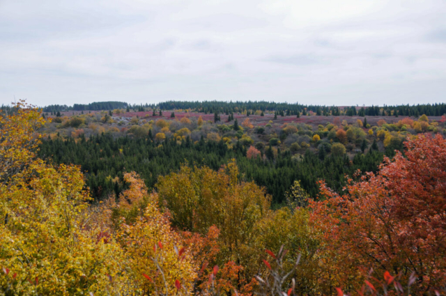
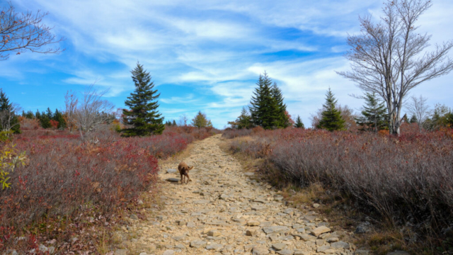
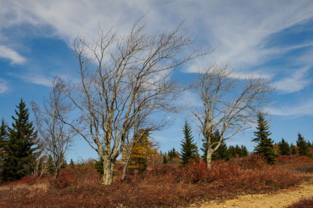
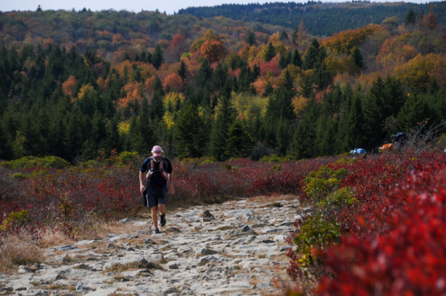
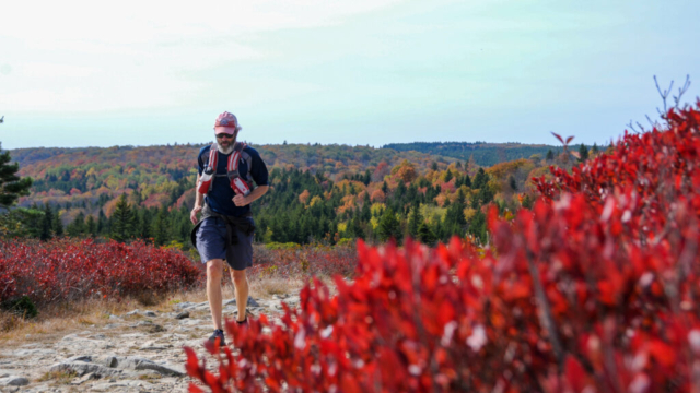
The trails were as rocky as any trail I’d run in the Rocky Mountains. It flowed across the tundra, up and down hills. The trail took me through a small forest of yellow and red leaves, across several mostly dried or slow moving streams, back to more tundra, through a small evergreen patch then spruce forest to more rocky tundra. The final leg was flat, moving more southerly direction across a flat plateau, now starting to see the view I set as my destination. I cruised up on a small narrow path out towards the view where a fire ring and several rock seats had been set up. I found these to be a nice place for me to sit, eat, drink and ponder. The view was down the valley of which I believe to be the Canaan Valley. The leaves were splendid and the view nice. Other than one small single engine plane circling above, likely to enjoy the view, it was quiet and for a moment, had the peace and quiet you’d expect in a wilderness area.
At 6 minutes past 2, I stood up and headed back. Now, tired and feeling the hills. I said hello to all those I’d pass, who previously had been my source of information while carrying hard copy paper maps on the outbound, enjoying in my thoughts that they were all out to enjoy the beauty of the area. On the last hill up to the road, I spotted the most beautiful of all things which was Lysette, standing along the trail snapping photos of me trudging up the rocky hill.
We jumped in the Tacoma, slowly weaving our way through the long single lane of parked and oncoming cars until it finally opened up before the town of Laneville. We decided to turn left, away from Lanesville and follow FR 75 out of the area, back towards Highway 28, again wondering how we had wandered wrongly.
We returned home, showered, and started preparation for the night thing. Earlier in the day we had struck up a conversation with a neighbor named Mike who was camping with his wife and one year old daughter. He had told us of the great view of Seneca Rock from the short hike up the Sunrise Trail from camp and that he’d be up there in the evening to take drone photos of the rock while the sunset. I asked if we could join them and he agreed. So after cleaning up, we took the short stroll up the hill the clearing and Mike, family and large Golden Retriever named Ranger were up there ready to send off the drone. We enjoyed learning about them, the drone, and other adventures of traveling with a one year old. She, draped in her mom’s chest strap holder, was all smiles and occasionally would interject noises and hand motions making her a complete part of the conversation. We enjoyed the short time with them before moving back down the hill, to the camp to enjoy our evening.
The next morning, full of promise and what we believed to be the last full day of outside play without rain for a day. We got up, had breakfast, refilled the water tank, and set up the Slumberjack Roadhouse Tarp extending it over half the picnic table to protect us from the eventual onslaught of post hurricane rain. This tarp has been our friend of late so we gladly jerryrigged it to the home using all the rods and cords.
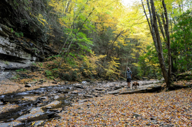
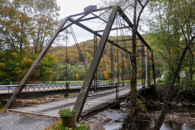
We then decided to take the team back to the nice small farm road that took us down the valley several days before, along the Gandy Creek to slowly enjoy the scenery there. The drive in was as we remembered, pretty quaint farmlands, green pastures backed by nice fall foliage. We enjoyed several bridges, one a foot bridge and the other a decommissioned metal bridge for automobiles sitting with plants potted at the entrance and just next to the new generation concrete and steel structure serving as its replacement.
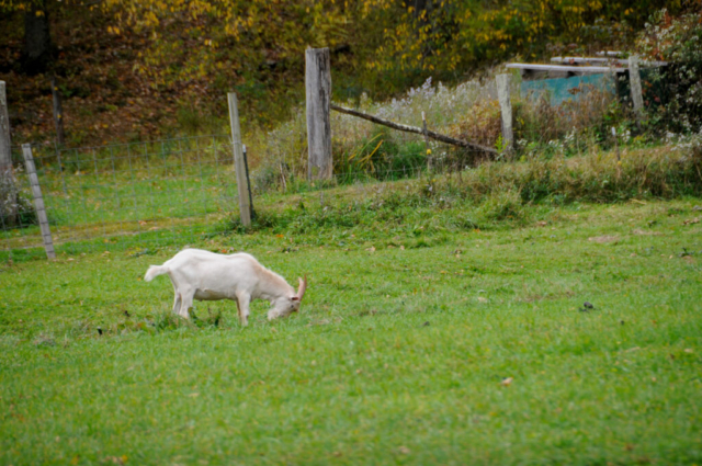
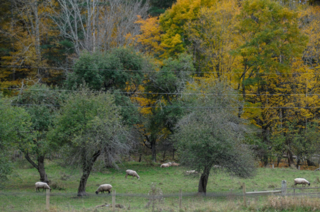
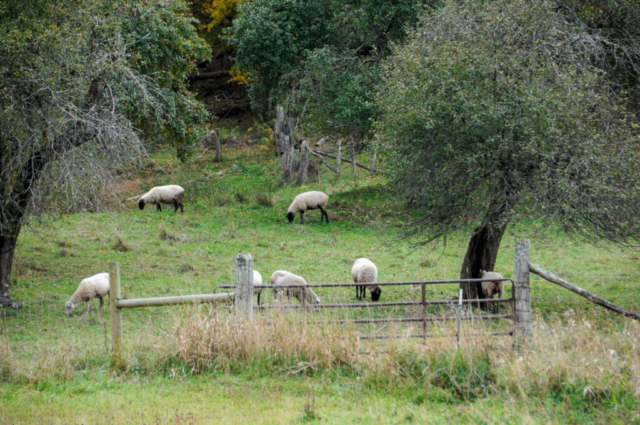
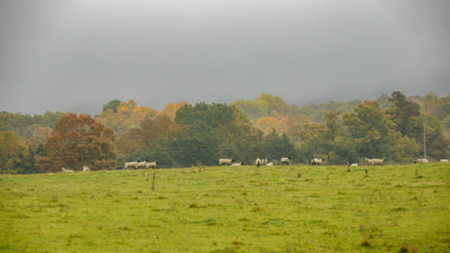
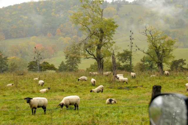
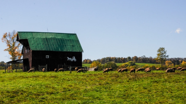
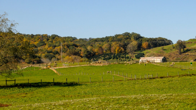
We turned right just past an old two story log cabin on a single lane paved farm road that upped the country road cute meter based on the sheeps grazing and the rolling green pastures up the valley with folds of colors on both sides and as back drop. All the while the low clouds started filling in the sky showing us threats of rain.
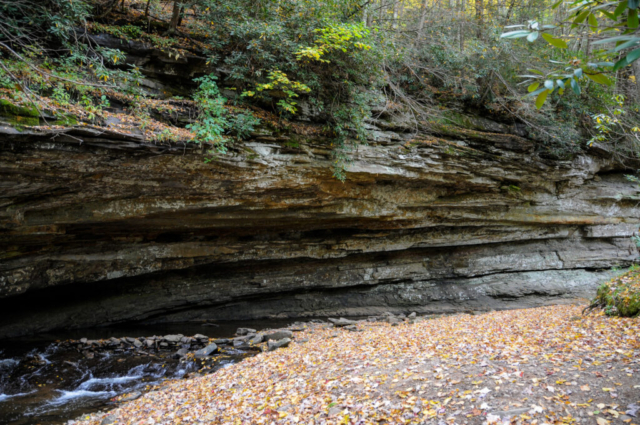
We left this road the same way we entered, turning right back on the main road following the creek and now passing into the National Forest where we started passing hiking trails. We made it to a large bow in the river and road where the creek passed under the bridge. The river here makes a huge turn cutting into and beneath the rock face. Images of the carnage of the spring river levels and flow as the water gets diverted underneath and inside this tight corner come to my mind.
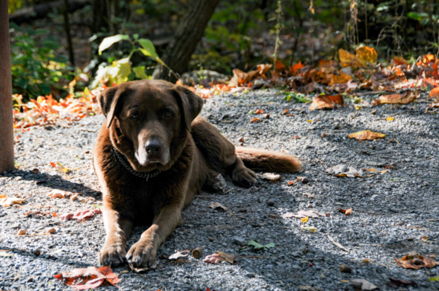
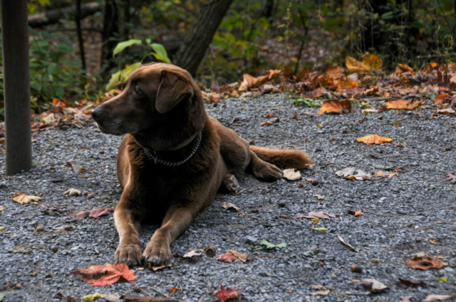
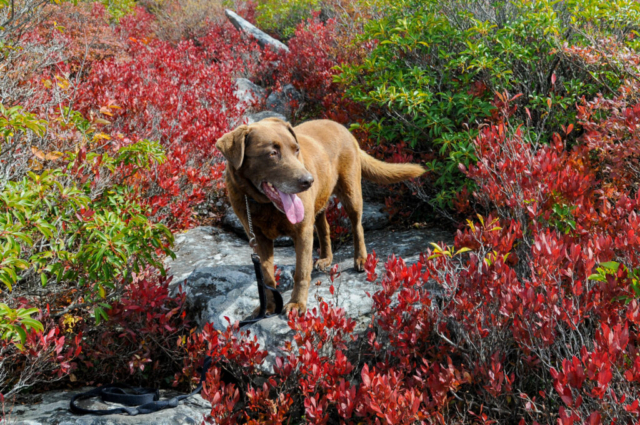
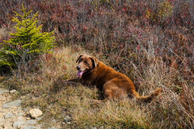
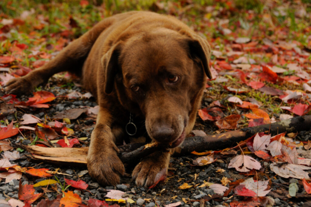
While getting out of the truck here, we learned that we had forgotten Toohey’s leash. We moved on based on how good he has been with folks being off leash. While leaving the creekside, he was startled by a young college age boy and he turned, growled, barked, and charged a few feet up to him, frightening the boy who hugged into a tree. We felt terrible, apologized while getting Toohey by the collar who at this point had determined the threat level was low and wandered away from the boy. The boy had also moved on to the river side taking selfies with his girlfriend.
We made the decision to move on from the area, back to camp, and do something different since a leashless dog wasn’t the right thing to do. On the way home, we stopped off at Yokums, the busy general store and cafe at the intersection to buy some eggs. While there, Lysette was able to squeeze out some internet connection to check her text messages, emails, and the weather, which reconfirmed rain by early morning.
We then went back to camp and chose to hike up to the Seneca Rock Lookout Platform from camp. From the base, the hike is advertised as a mile and a half up with 900 feet of elevation change and an average grade of 15%. There is a trail that runs from the tent camp area beyond loop D to the back corner commercial district behind Yokums. From there, you cross the road and follow a short path until it opens into a field in front of the Seneca Rock National Forest Visitor Center. You follow the path around the visitor center, crossed a foot bridge, through another parking lot, over a bridge that we found out later is the North Fork South Branch of Potomac River, the same Potomac running through D.C. and the use of both branch and fork in the river name. Pretty cool.
So we set off up the hill for the steady effort to the top. We passed a long line of uphill hikers, some not in condition, some leisurely strolling with families and dogs, and others in heavy leather biking boots and leather vests. Whatever their journey, mostly everyone was committed which was nice to see. Our uphill effort was reported by the TWT Fitness Coach as an average of 20 minute miles and 4.6 miles from base camp. The downhill was much faster only slowing for large groups walking side by side, not giving way. We crossed the bridge, parking lots, fields, and back up and into the campground to our site where a can of Coors Banquet slipped nicely into my hand. We diced peppers, onions, ginger, and browned ground chicken, topping it all off with a can of chicken broth, leaving a little to pour in the once grumpy, now tired old dog’s bowl. We ate as the dark descended leaving us only with the ambiant light of the shower house sitting across the shrubs. The crickets started in and the laughter and light hearted sounds of a healthy camp continued along with the occasional flushing sound and the hand dryer for those hands scrubbed in the washhouse sink. All is good at No. 32, Seneca Rock Campground.
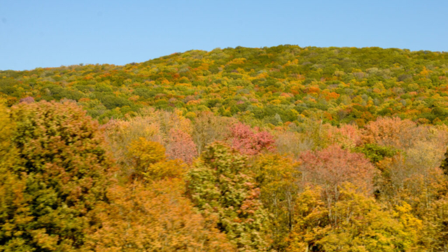
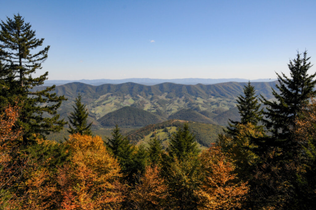
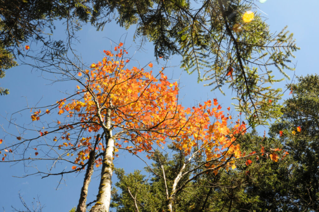
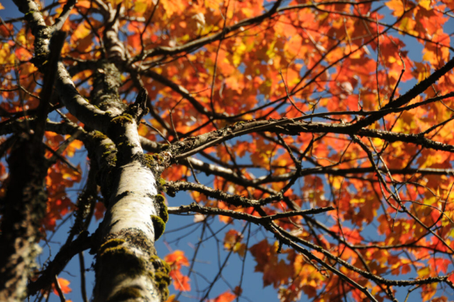
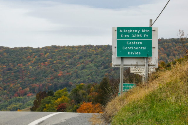
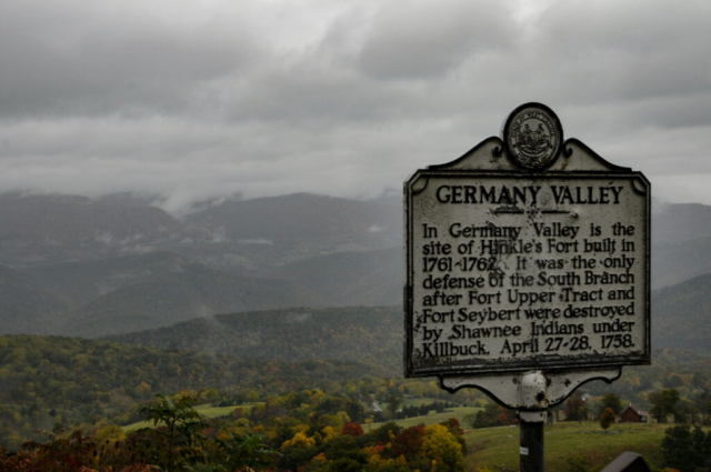
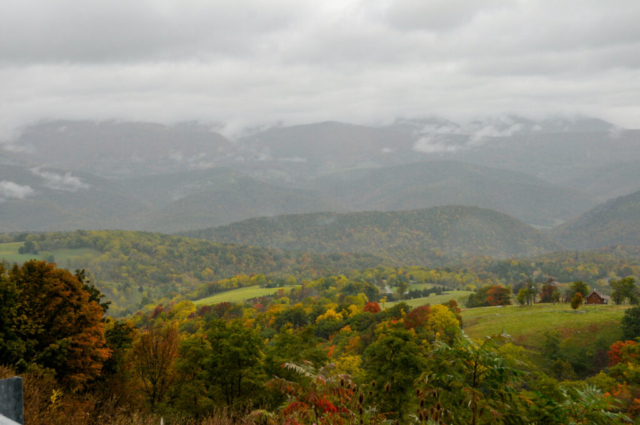
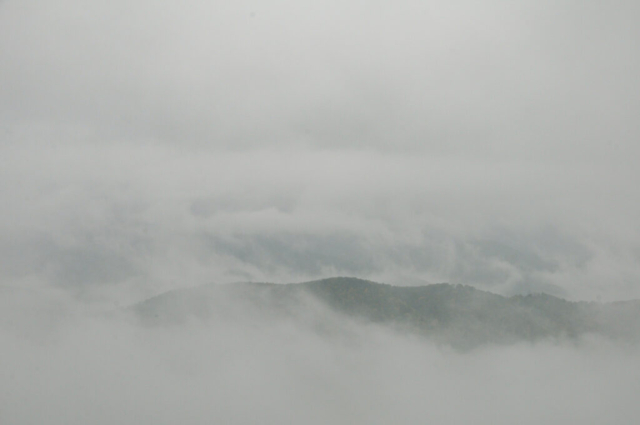
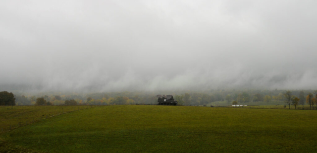
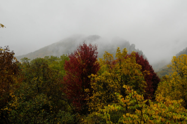
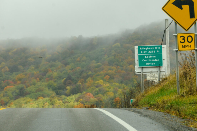
The day came with overcast skies but still no rain. With the unpredictability of rain looming we decided on a drive into the small town of Franklin, WV to see what the camp host wife described as unique to the area, magnificent large old houses. As with many drives in this area, they seem to take you over a mountain pass, this one with an overlook to the German Valley beneath, topping off at around 3200 feet. The leaves, of course were still brilliant, now combined with low clouds, some fog between hills and everything wet, made them ever better at times or at least different.
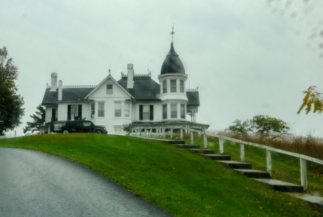
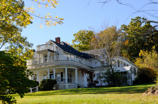
We entered the town of Franklin passing a Family Dollar, Walgreens combo store before hitting the Main Street and seeing what all the fuss was about. Large frame victorian homes sat along the street and few up the hill above the town. Nothing much older than early 20th century from the looks of them. Appearing more well kept than others we’ve seen sitting on farms makes you wonder why and what was the income that provided for these to be built in this small town.
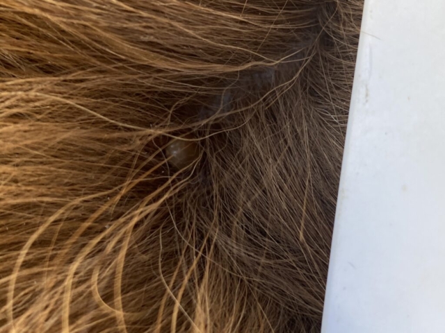
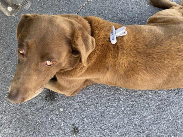
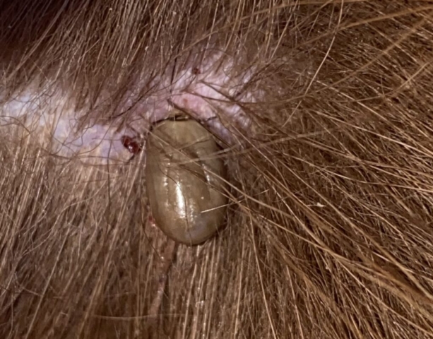
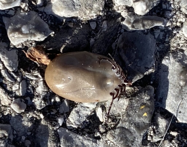
The Main Street had a bank, hardware store and other small town type business typical to a small community versus one that attracts tourist dollars. There was a higher education institution that we saw sign for called the Future Generations University but we never saw a campus. (Further research once out of the NRQZ showed it provides graduate studies and research on community development, to conduct work to advance people on communities around the globe. Interesting that it is tucked into the mountains of WV. (For more reading visit https://www.future.edu/about-us/). Beyond that, the town provided a small grocery store of which we stopped in to buy a few things, to include flea and tick collar and some drops to brush on Toohey, the tick magnet. While in the grocery store, we checked and had free internet service so we carefully shopped with one hand and checked emails, text messages, and weather with the other.
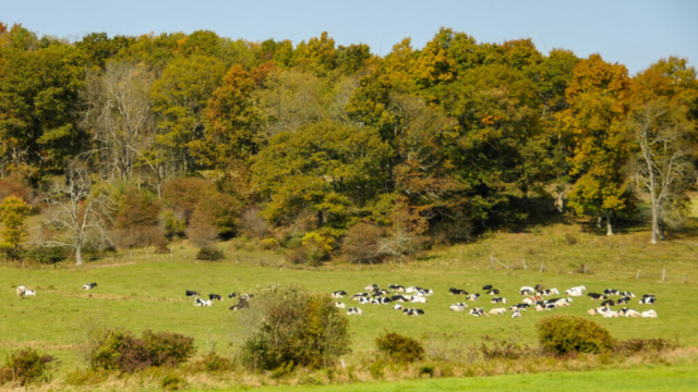
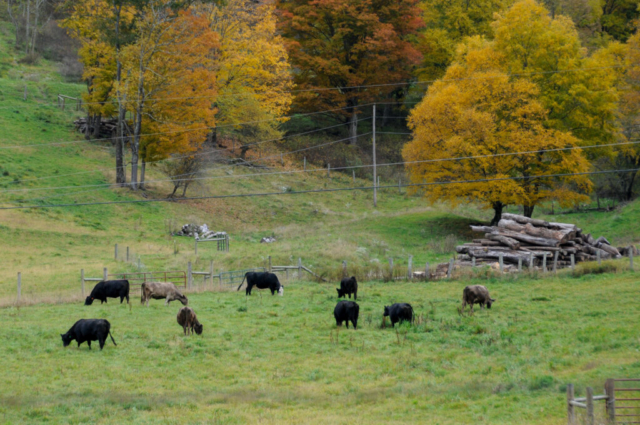
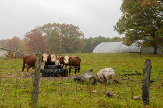
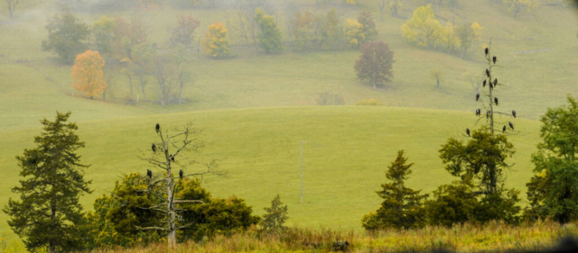
After leaving Franklin, we drove back over the pass, now raining pretty steadily, down to a road called Germany Valley Road. Thinking that this would deliver us to the main highway where our camp sits, we turned right and started down it. At the end of the road was a busy restaurant sitting in the parking lot for the Seneca Caverns which was unexpected. We turned back and followed it to the right for Germany Lime Rd that we had missed on the outbound. Along this narrow road we saw more cows, a pig, and several trees full of crows sitting in the rain. We progressed down the road and passed through an industrial lime processing operation that included mining and a lime kiln, this creating a conversation on the amount of white lime residue all over everything to include the truck. We finished the short drive just on the other side of the industrial operation as we turned right on the main highway, 28 and about 10 miles later a left into the campground.
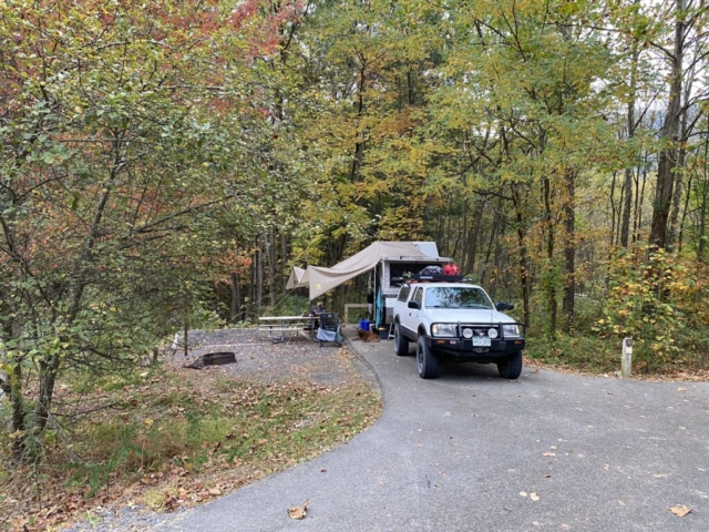
As we pulled into loop C we noticed another, older model A-Liner parked two spots down and many of the other spots now vacated. We spent the remainder of the afternoon reading, working on projects and talking. Watching as new neighbors started to fill other vacated camp sites. We watched as they set up camp in the rain bands of Hurricane Delta, now nothing more than windless moisture falling, keeping us wet and damp at No. 32.
The rain continued as the day started and with no prospect of weather news, we adjusted our expectations to a day of it. Maybe a drive, some more writing, reading, and planning. The hope was that it would stop long enough to give us and the gear time to dry before having to pack it up for our move tomorrow, but not promising at this point. Toohey continues to produce ticks but at a slower rate than the home produces stink bugs. My back is hurting a bit on the right side from all the wood chopping and we need medicine refills. The image in my mind of the next two weeks is of the WWII plane limping back to the runway with one engine sputtering it along. The similarity with us is likely more with the pilot who’s zest to live a full life continues him fighting for every second to keep the plane airborne, to live the next minute, day weeks and so on. Just as he will land and jump out of the cockpit of his plane, so will we be dry another day, experience more joys of this year long travel and what is next.
With the rain now set in, we spent the day working on the blog until around lunch. After lunch, the rain became more intermittent so we made the decision to hike back up to the lookout on Seneca Rock. We set off early afternoon, walked through the tent camp sites and the trail down to the intersection behind Yokums. We briefly checked emails using their wifi and then crossed the street, around the visitor center and over the bridge. With pent up energy from all the inside rain stuff and a soul needing to be broken against the 1.5 mile climb in front of us, I suggested a fastest known time (FKT) effort. We set off from the base of the hill with me an Toohey pulling a good steady pace and Lysette just off my heel. The trail was muddy in spots but nothing too slick. The effort, reminded me at times of the effort needed to run up Chimney Gulch in Golden with my Saturday morning friends, but much shorter. I passed a few folks saying howdy in my best winded voice possible. Unexpectedly there were a number of people hiking despite the rain. After all the switchbacks and whatnots, we reached the lookout platform at exactly 20:35. Lysette can storming in a minute plus later at 22 minutes and no change. Our FKT, now set for many to easily break. We snapped a few photos of the clouds sitting low in the mountain valley in front of us, before heading down. The walk down was better as we agreed not to run. The conversation centered around our current travel cost and things we could or couldn’t do to manage it, how we’ll manage winter, and thoughts of what else we could do for the year. We also discussed staying longer in places over the winter and the possibility of volunteering for non-profit work in return for housing. With nothing decided, we reached the bottom where we stopped again at the wifi site at Yokums to check emails, texts and the weather, before heading home to feed the dog. After that we walked up the Sunshine Trail from camp for a few more photos to include an Eastern Box Turtle hanging out in the wet grass. The rest of the day was showering and working on the blog before dinner and bed with hopes and prayers for a dry night and start to the day.
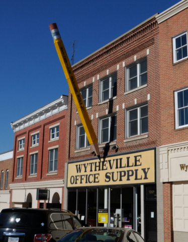
The morning broke with the area still saturated in wetness from the rain but with prospects of sun as some slight hints of blue sky shown through the clouds. With other campers lurking about wondering if we were going to free up our site, we hitched up, said our goodbyes to Mr. and Mrs. Camphost and set off for the Elkins, WV post office. We made the drive over three passes and into the town of Elkins. Lysette went into the USPO to get her delivery while I called my dad to check in. When she returned we made the final decision to follow Highway 219 south, into Virginia to a KOA in Wyetheville, VA. The distance requires a good, long days drive and it being close to noon, we had our work cut out for us.
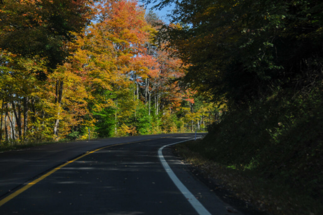
Highway 219 was recommended to us by the camphost in Hearts Content Campground in PA. His description was a slow and winding road but really scenic. From the time we left Elkin’s southern commercial area, it was just as advertised. The beautiful sun was soon out in its full splendor providing backdrop to the amazing fall colors, nice small farmlands at the base of the rolling hills and mountains of West Virginia. We both remarked on the town of Lewisburg as a place we could live, especially after seeing the quaint historic Main Street and a quick search of property values.
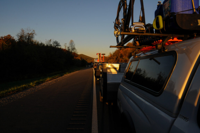
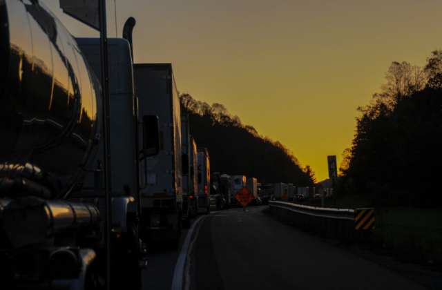
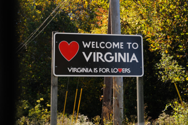
As we entered Virginia, then back into West Virgina and again Virginia, we found ourselves on the dreaded interstate, I-77. And to make it more interesting, we got stopped for over two hours as they investigated and cleared a bad truck accident. I finally made the decision turn on the CB radio to check channel 19 which is used by the trucking community to report on traffic conditions. We learned from their colorful conversation as they righted the large truck, saying it was now rubber side down. They complained about their remaining time left to drive but got really colorful about the time we started moving. One trucker said to watch out as all the drivers were going to driving like fat women at a buffet. Then the remaining calls came in acknowledging the safety threat that exists with that condition, yet many more defending the portrayal of the image used as fat woman. It was all so wrong, yet so entertaining, sort of like watching one of those TV shows where they needed body guards to break up stage fights. In the end, we made it to the KOA, for the first time on our journey having to set up in the dark, which we did and could likely do blindfolded if needed. The only true casualty of the day was the Dometic Refrigerator vent panel on the trail went missing along the way so we will begin our search to find a replacement. Good day and Good night.
By morning, we were able to get the full view of this camp. They placed us on a site in the back of the campground, up against a forest, only separated by a gravel perimeter road. Our neighbor portside, wasn’t home during our short stay and the starboard side remained vacant. We set a few minutes on unnecessary stuff before making the decision to go find food and tick products for Toohey. We did most of our food shopping at store one then drove through the old Main Street of this historic Virginia small town to the other side where we found a shopping center with a Petco and Walmart. We visited both for additional supplies but the best information turned out to be from the clerk at the Petco who gave us the name of a local pet clinic. Once back in the rig, we called and scheduled a walk up time for 4:30.
The space and time in between that was spent getting other life things done such as putting away all the groceries, cleaning the home, filling the now empty propane bottles, laundry, making calls to mechanics and parts suppliers, and all that goes along with maintaining this lifestyle.
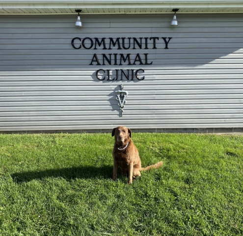
By 4 o’clock, the team headed for the parking lot of the Community Animal Clinic. We called to let them know we were outside, they took some notes for their file, and we waited about an hour, long enough for Lysette to find another larger tick on Toohey, assassinating it in the parking lot. They finally came to retrieve our part retriever for his exam. Soon we got a call from the Veterinarian inside to discuss treatment options. We chose the three month supply of ingestible pills that we would basically consider a once per month bonus food treat. This versus the collar. She said there was no sense in testing as his exposure has been too brief so likely wouldn’t turn up any disease. She also agreed to refill his arthritis meds with a 30 day supply. She and the vet tech came out to greet us and answer any remaining questions. In short, they were awesome.
Other patients in the parking lot that day included a lady who had to make the tough decision to put her aging dog down. Sadly, there were tears, a friend or family member came by to help her with her other dog and console her making me think of the day that will come for us. Another was a guy in his 30’s who carried his pit bull inside as it was apparently injured while jumping out of his truck window while he was rolling down the road. He was upset but overhearing the discussions, it appears the pooch will be okay.
We returned home to continue putting the home back in order, cooked dinner, showered, and went inside to plan the next move. We watched videos on dispersed camping sites in the Pigsah National Forest in North Carolina which we both agreed might be a good target for the day. We phoned up Lysette’s sister for a video chat from inside their RV in Missouri. All in, this was a great productive day, nothing sexy but it felt great to get some of this stuff done while building a to do list of other things needed, hopefully during our stay in Savannah. For now, ain’t it just like a friend of mine to hit me from behind, yes I’m gone to Carolina in my mind.
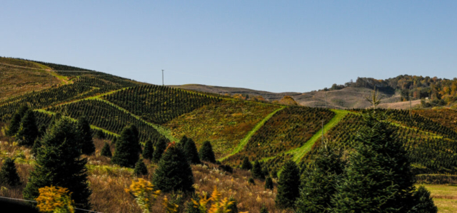
Our thought before entering the state was that it could be considered the Idaho of the east based on information and expectations. The West Virginia we experienced turned out to be rugged, remote, mountainous, quiet, and beautiful. The place has a peaceful pace about it, a vibe that lends to being in the moment, silent from the distractions of technology, and pure to that of nature. The scenery along the trails and roads throughout the area was colorful, interesting, and inviting, especially to those who dream of outdoor adventure and wilderness. We thoroughly enjoyed our time in West Virginia and will certainly return, next time with paper maps.


Comments
4 responses to “Almost Heaven: West Virginia”
Gods country-finally catching up on my reading-will come on back home to it one day-you guys are rolling!
The fall color is amazing!
Kemp and Lysette;
We thoroughly enjoy your fabulous pictures of you journey.
It makes us want to go there.
Safe Travels,
Carlos & Nancy
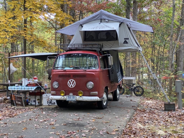
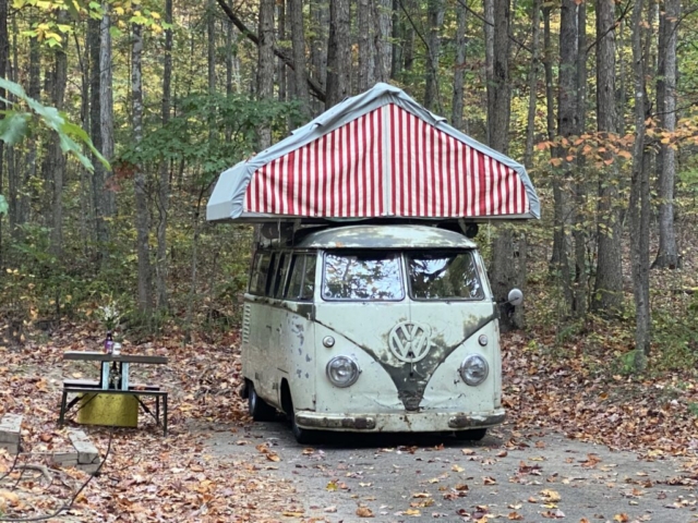
The red VW Vintage van with the classy penthouse is so inspiring. Unlike the tick – yuck!