April 21 – May 9, 2021
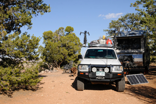
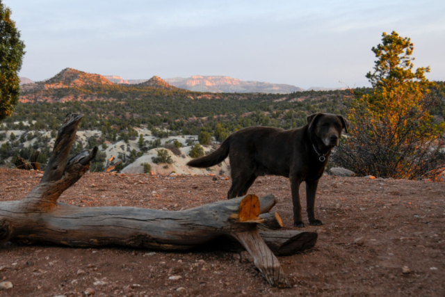
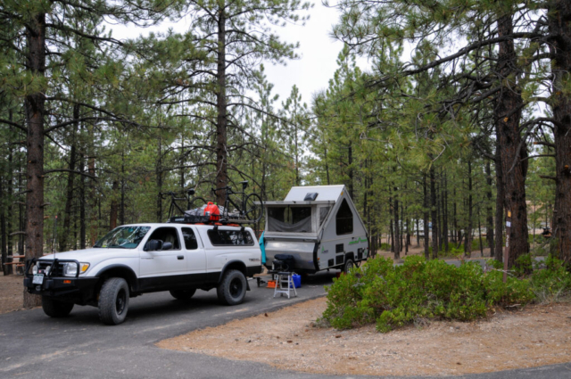
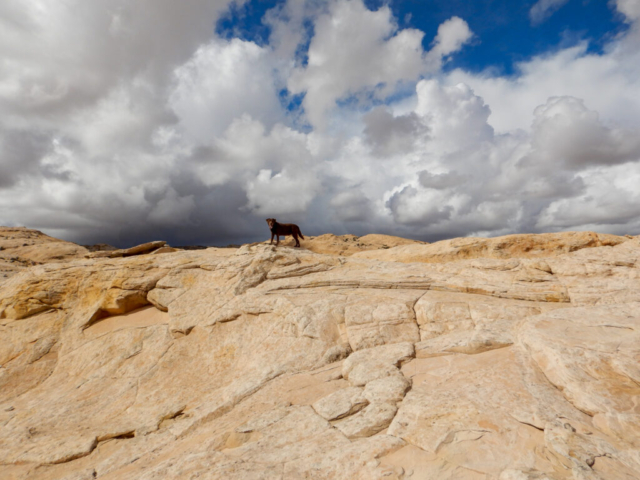
Since we’ve fallen way behind on our blog entries, we sought a way to catch you up without eliminating too much of the good stuff, so we are going to provide ONLY the good stuff. This blogisode eliminates the descriptive turns, brodies, trees, foliage, and details on the many wonderful campsites. You will have to trust us that we made stops for provisions, quickly and successfully set up each camp, and met really interesting people along the way. Toohey dutifully protected the assets anytime we decided he would be more comfortable playing security to our stuff. And of course, Lysette and I continue to fall deeper in love each day as our ability to use complete sentences to communicate continues to progress.
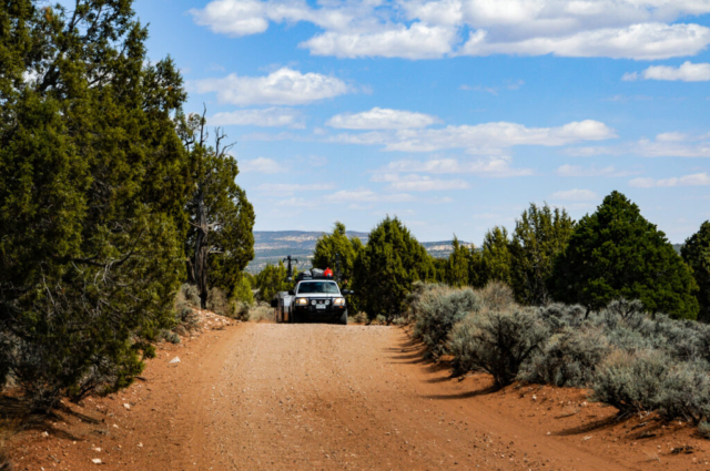
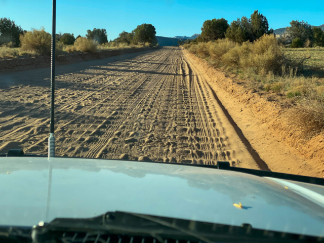
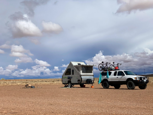
This part of our journey took us from Page, Arizona to Kanab, Utah then north to the highway 12 corridor between Bryce Canyon, Escalante and Hanksville, north to the San Rafael Swell and into Fruita, Colorado for our second vaccine. Once recovered, we bounced back into the Utah desertscapes with a slow flurry of fun and adventure, back along some of the same roads until we crossed the border of Nevada. We traveled lots of long gravel, washboarded roads to include Johnson Canyon, Skutumpah, House Rock Valley, and Hole-in-the-Wall, cutting across large swaths of dusty desert. Our camps were along these same roads where we got used to crunching dust as it covered everything, including at times our food.
So now, just sit back comfortably with your cozy woobee, cup of coffee, tea or whatever you need, and follow along the blog as we spill the highlights of our adventures in Utah, packed full of kayaking, running and hiking desert trails, and several fun and amazing slot canyons. We hope you enjoy.
Antelope Canyon Paddle and Hike – 4/20
We drove into Page, Arizona for two nights to wash, do laundry, and check out Antelope Canyon, the featured thing to do here besides boating in Lake Powell. Since access to upper Antelope Canyon is controlled by the Navajo Reservation was still closed due to COVID, the only way in was by kayak. So that is what we did.
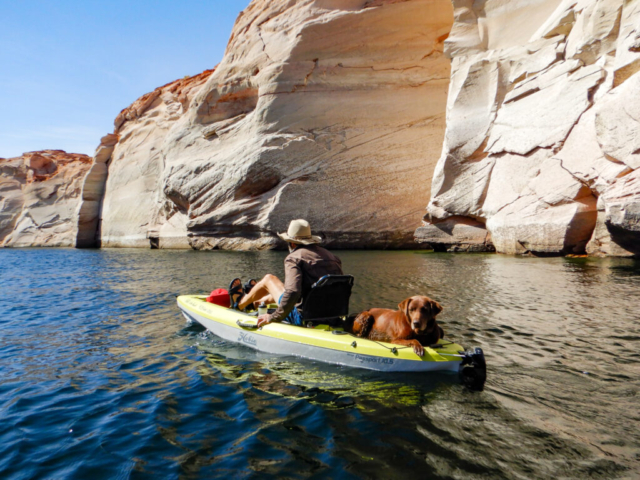
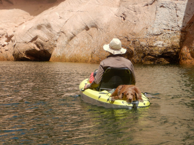
We reserved our vessels from Paddle Lake Powell with instructions to meet them at the bottom of the boat ramp by their white truck and trailer. The perk of meeting them at the bottom of the boat ramp would turn out to be a huge benefit as all other vendors require you to carry your boat down the long and very steep boat ramp, made longer by the low level of the lake to start and then back up to their trailers at the top when you finish. We met them where instructed, received a quick personal instruction on using these kayaks that interestingly enough, you can pedal or paddle. With Toohey now on the stern of my vessel, Lysette on hers, we set off for Antelope Canyon.
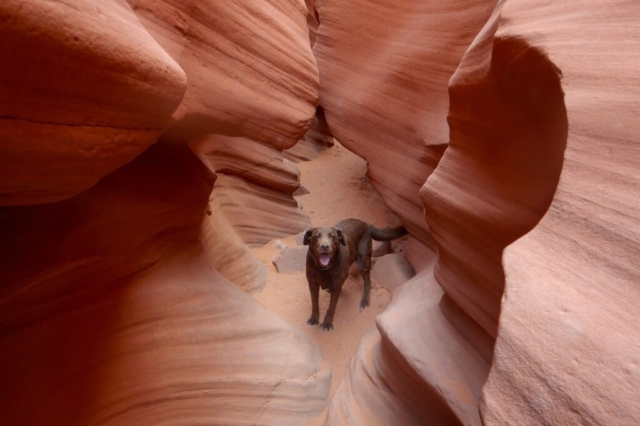
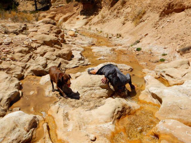
The trip takes you along the high steep rock cliffs of Lake Powell and after about a mile you huck a left into the feature event, Antelope Canyon. From there you continue to paddle, or in our case pedal, your way along similar high rock cliffs as the waterway slowly narrows. You eventually come to a thin beach where the water ends and a sandy canyon trail begins. Other kayakers had pulled their boats up along the canyon walls on both sides giving about an 8 foot alley way between them to start the hike. We did the same, giving Toohey time to exit, sit in the water, and drink some. We then set off on a short hike up the canyon that we estimate was about a mile, perfect for our gimpy brown dog with a bum right elbow. The canyon walls narrowed to shoulder width, zigged zagged and rolled through a slight trail created by millions of years of erosion, compressed by thousands of human feet moving in and out of this place annually. Not to let humans off the hook as they can suck as some felt the need to write on the canyon walls, mostly signing their names with one witty individual indicating that he “pee’d here”. Remarkable.
We turned back before the end of the hike as Toohey was at his limit and we still needed to get out. We returned along the trail passing many more hikers and when we got to the narrow beach, there were a lot more kayaks, and two motor boats, maybe 20 feet in length, making getting out more interesting than when we arrived.
We eventually got in the kayaks and launched only to have an almost near death experience with someone who had rented a motor boat and had no clue how to operate it. Making matters more difficult for him was a good wind blowing him up in the canyon. I am quite sure that when he and his girlfriend planned the day, he had to thing of how hard can driving a boat be. Well, with a tight space and a decent breeze, he found that he couldn’t turn the boat without smashing me and the kayak into the wall, almost losing his girl friend along the way who was on the bow with a wooden paddle to fend off the large rock cliff wall that he kept ramming all while not getting the forward and reverse mechanism synchronized with the outboard motor steering. In the end, we all survived but I’d hate to see the face of the person who rented the boat when they see the side of the hull.
The pedal and paddle back was leisurely and enjoyable. Toohey mostly rested on the stern of my kayak while those we passed commented on how cute he was. As we approached the boat launch where we began we found the owners, who had launched us, there to collect us. As we left them with our boats, we passed a group of about 20 people standing single file up the boat launch waiting their turn for their trip to Antelope Canyon. We chose well to leave early and with this outfit.
Wire Pass and Buckskin Gulch – 4/22
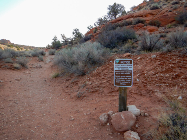
We moved about 60 miles from Page into Utah and found a camp along a dirt road called House Rock Valley Road. The featured hike down this road is the world famous Wave but that requires permits chosen through a lottery system. We decided to pass on all that and instead chose Wire Pass and Buckskin Gulch. Both of these are slot canyons that don’t require the canyoneering skills of these two canyoneering novices.
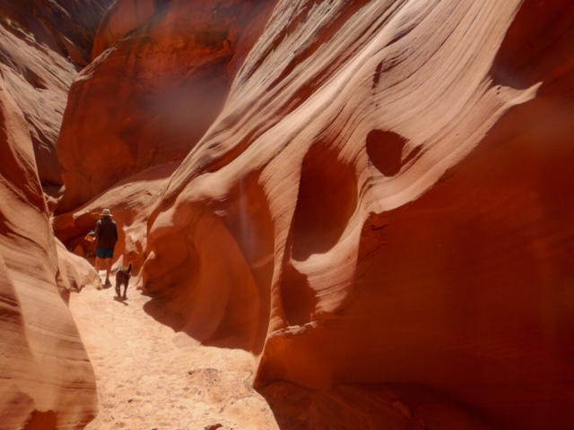
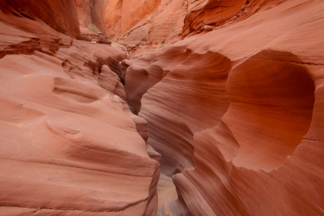
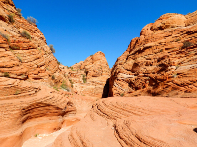
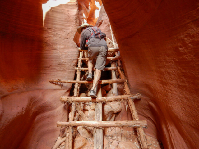
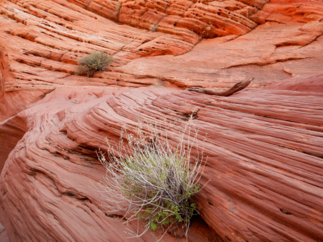
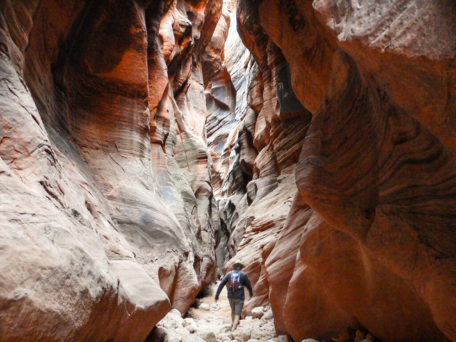
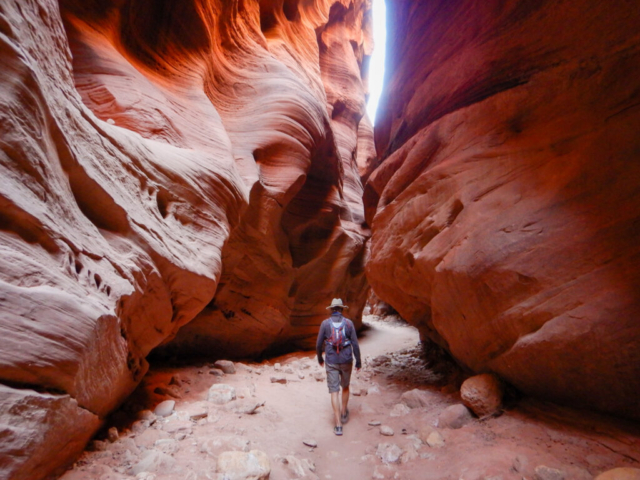
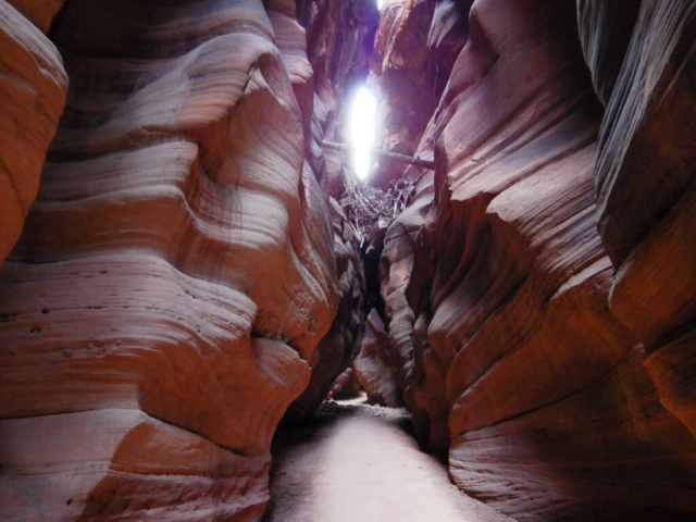
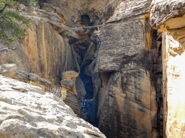
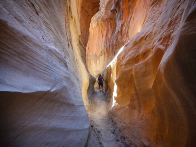
We got there early, about 7am, knowing it would be busy and were still about the 10th car in the large parking lot. We set off leaving Toohey in the truck to protect the assets. The first mile of Wire Pass was open dry river bed then it abruptly narrowed into a slot canyon. The swerves and waves of the flat river bed are amazing show stoppers and fun to maneuver through. There is an 8 foot drop where a wooden ladder has been constructed for an easy descent. A few more minutes of hiking the slot until it opens at the large vast intersection with Buckskin Gulch.
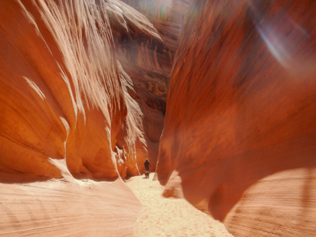
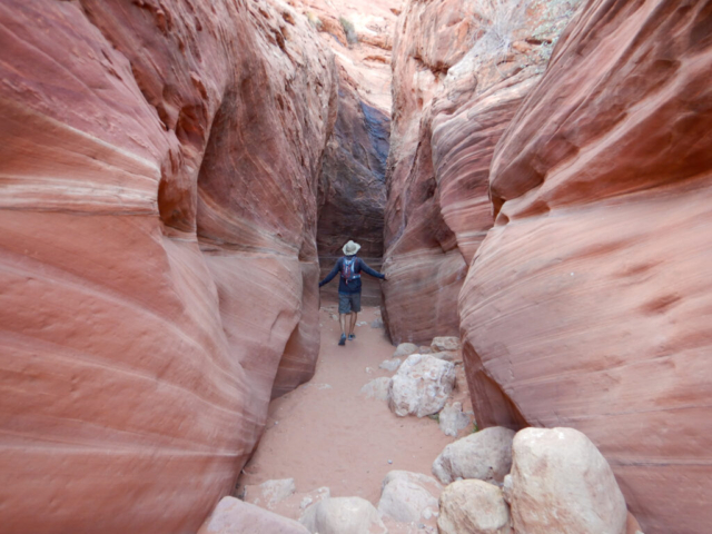
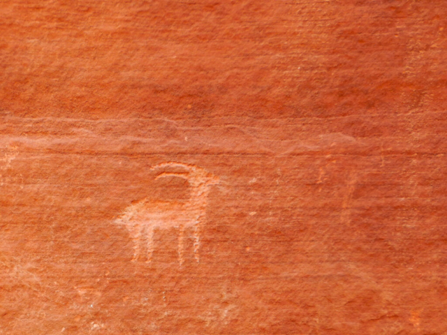
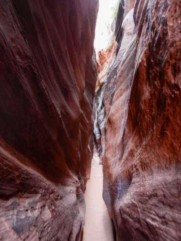
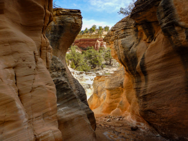
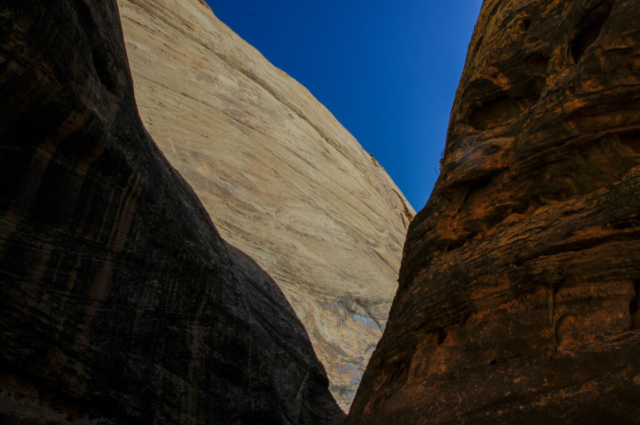
Buckskin Gulch is the longest continuous slot canyon in the universe, or something like that. There are enormously large and high flat red and burnt black rock faces that extend upwards, much like wandering in an alley behind a Manhattan City Street. There are pictographs from early native Americans along the bottom at eye level reminding you that humans used these passages for years before us. We made the decision to turn right and follow the canyon in that direction. The canyon floor was dry though many reported it can be wet this time of year. We followed it for about a mile and half simply mesmerized by its awesomeness. The section we hiked was completely non-technical other than stepping stones without twisting an ankle. After being out about and hour and a half we turned back with thoughts of our protective pooch. We passed many more folks who were now entering this natural museum.
Willis Creek and Bull Valley Gorge Fail – 4/24
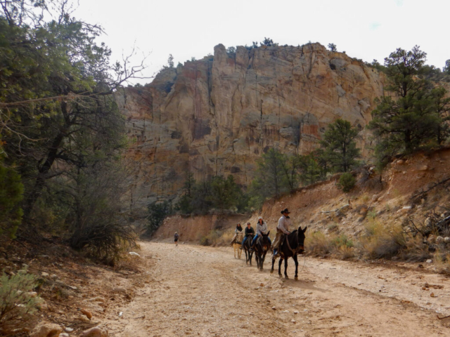
The team left House Rock Valley Road and headed west into Kanab. While there we stopped at the visitors center where we learned from a ranger that we should take Johnson Canyon Road to Skutumpah Road with we found a nice camp with views of Powells Peak and Bryce Canyon National Park.
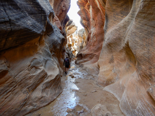
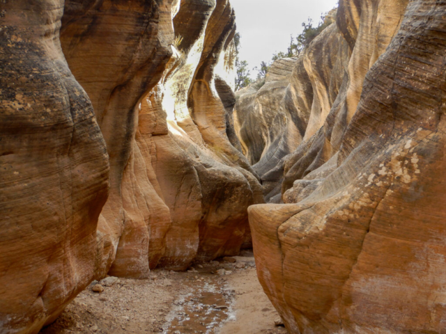
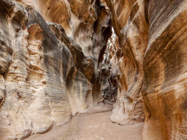
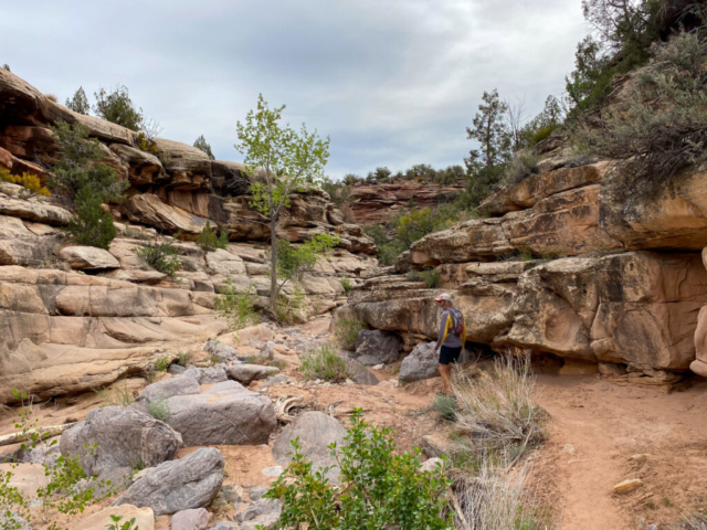
The next morning we ate a quick breakfast, tossed down a few cups of coffee and set off for the hike in and along Willis Creek Trail. We hiked along the edge of the canyon for a quarter of a mile or so before dropping in. Dropping in is a word I learned from a friend before running the Bright Angel trail in Grand Canyon as something all the cool kids say so I’ll use it more often in an attempt to be more cool. So, we dropped in and started following the narrow deep canyon. It flowed into and out of slots and was not technical at all but quite interesting. We followed it until it eventually opened up to a wider canyon with much higher Navajo stone cliff walls. Eventually we made it to the intersection with Sheep Creek Canyon which can turn this hike into a much longer experience, linking several canyons for longer day or multi day hikes. For us, we met our time and distance allotment and headed back to the truck to relieve the dog of his duties.
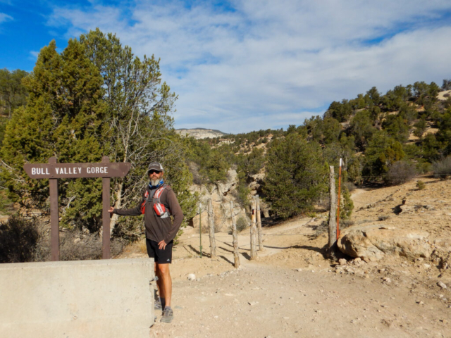
The next day was yet another canyon attempt, Bull Valley Gorge and ended in a canyon entry fail. We were skeptical after reading some reports that it might be over our skill level and after attempting several entries we decided not to drop in as we weren’t convinced we could get out. The two drops were a 10 foot and 12 foot, both with large tree trunks to support us but requiring a commitment to slide into them which neither of us felt good about. Fail.
We had learned from our few days exploring this area that the drive out would be less than entertaining with steep inclines and narrow roads while pulling the trailer. The weather system that was suppose to come in later was thankfully holding out as the roads would likely be impassible with rains. Lysette captures the video but it really doesn’t do the steep grades justice.
Devils Canyon aka Cabin Loop – McInnis Wilderness Area – 5/30
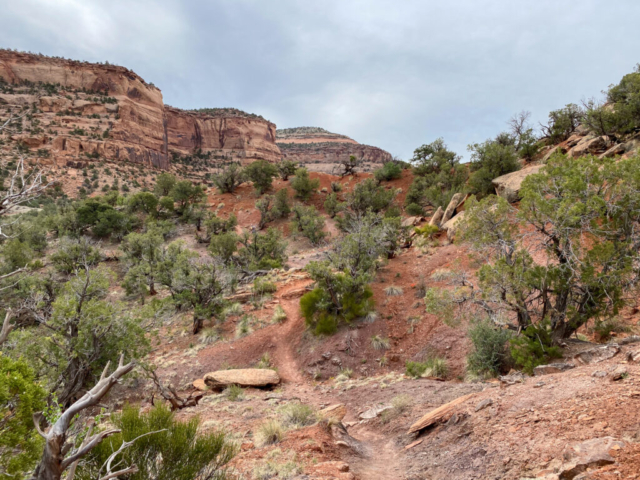
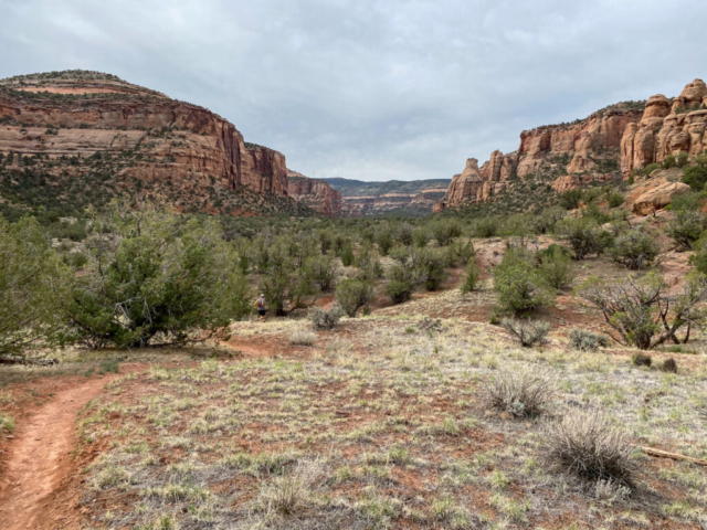
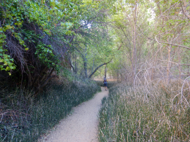
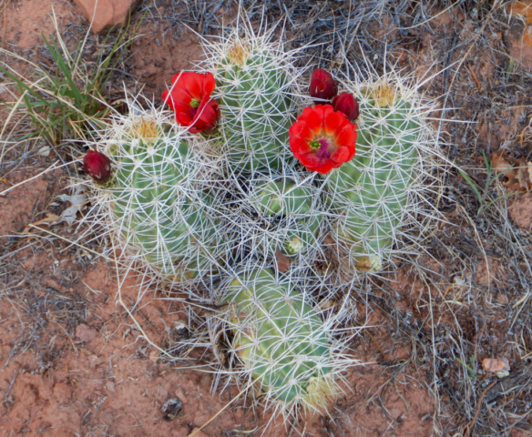
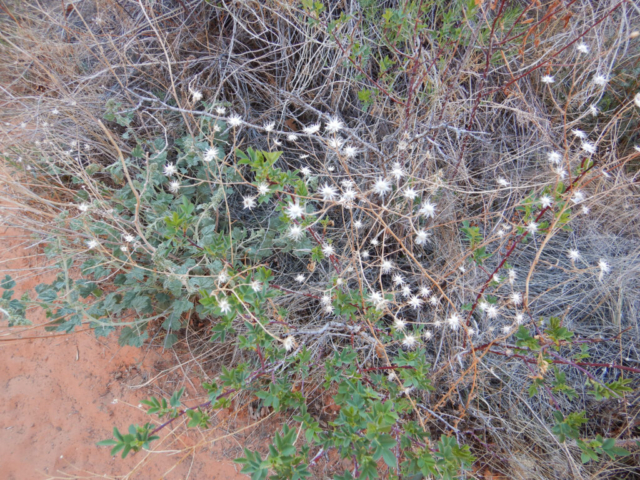
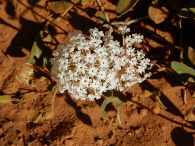
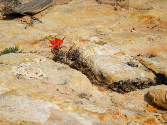
We made it for one night in the San Rafael Swell area before a few nights in Fruita where we stopped for our second COVID vaccinations. We did a ride and a fun run the day of our vaccine but then around the 12-hour mark we both felt wrecked with a low grade fever. The lasted throughout the day. We felt rested and good the next morning so we set off for a run. The run was referred to as the Devils Canyon Cabin loop and was everything a desert, red rock, cactus lined trail with a spring bloom of wild flowers could offer.
Capitol Reef National Park- 5/3 – 5/5
TWT grammar lesson. The difference between the words capitol and capital. This section is added for frequent readers who like to comment on proper word usage that I typically butcher. Capitol with an “o” refers to a large building where legislators are suppose to legislate, which they don’t do much of anymore. Capital, spelled with an “a” would be the city where your state capitol building sits and legislators get paid to not legislate anymore. Now, back to the blog.
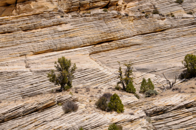
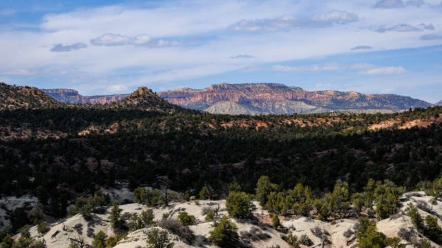
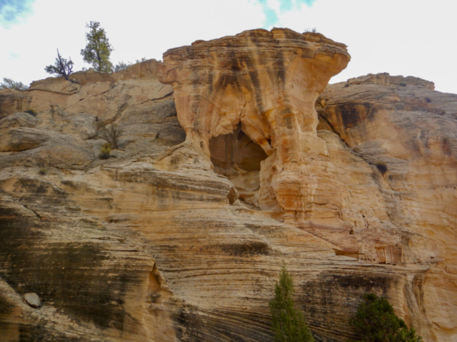
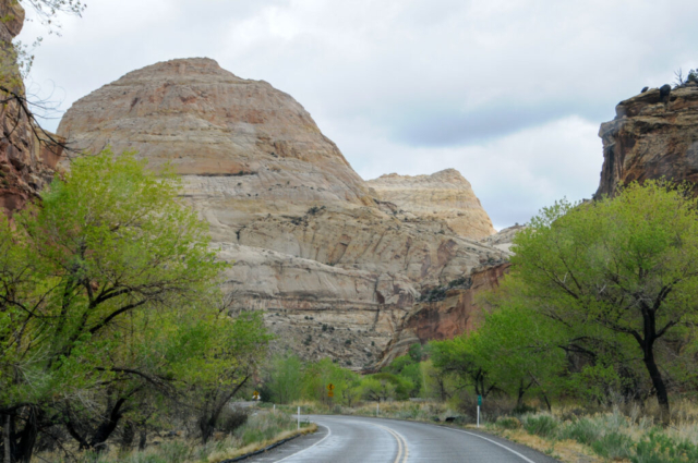
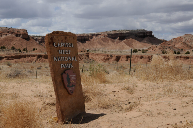
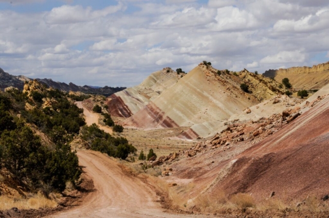
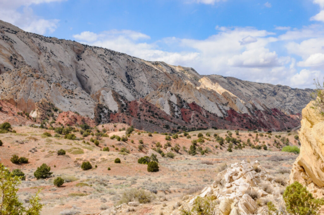
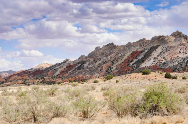
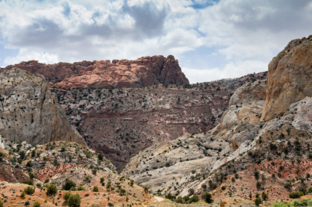
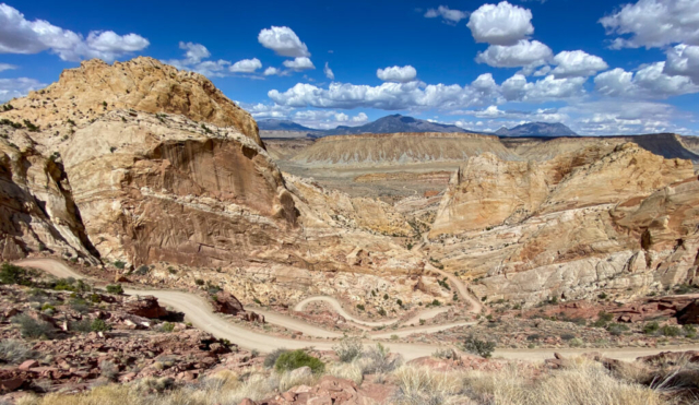
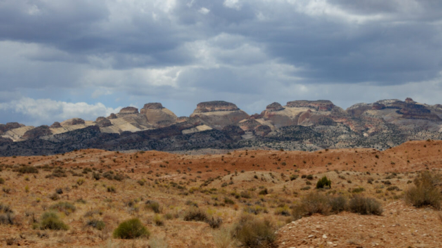
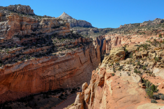
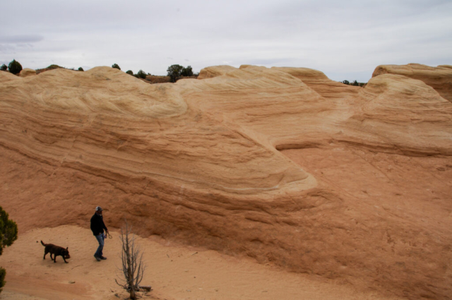
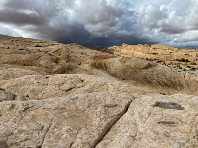
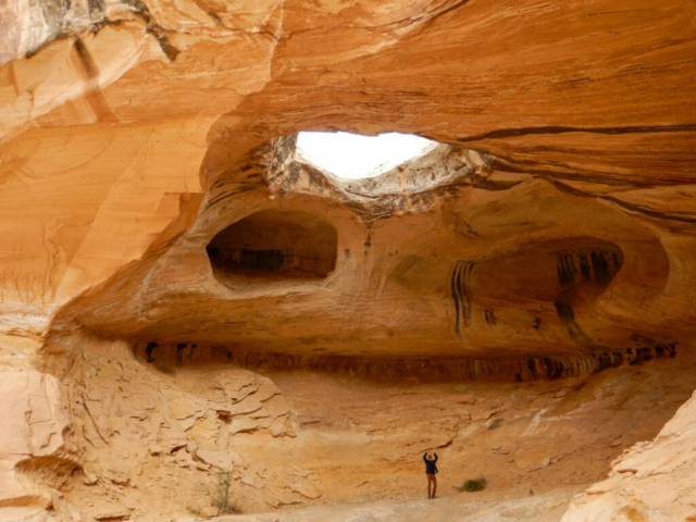
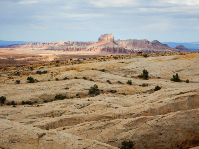
After one night back in the familiar San Rafael Swell, we found a campsite on Notom Road just outside the east entrance to Capitol Reef National Park where we camped for three nights. Our mission after setting up was to drive Notom Road along the backside of the reef and to check out the Burr Trail Switchbacks. The 20 something mile drive out was mostly on good roads with several washboarded sections. The most interesting things though were the rock formations along the reef that appeared as though the Navajo sandstone shot up out of the earth, revealing layers of red rock and peeling back the land on top. The valley between and all the colors were spectacular.
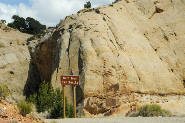
The drive up Burr Trail Switchbacks was pretty cool too. The windy switchbacks and lack of anything to prevent death from falling was thrilling. As was the view of all the rock features up and over the top of the road.
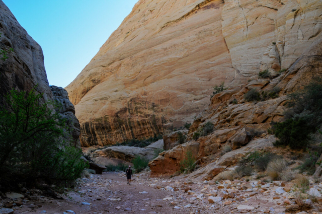
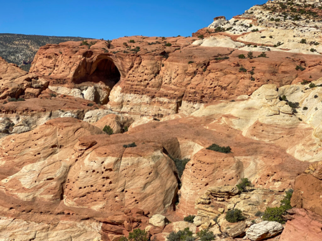
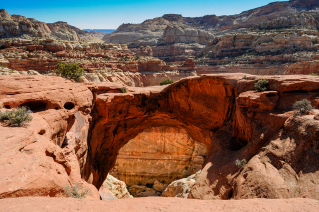
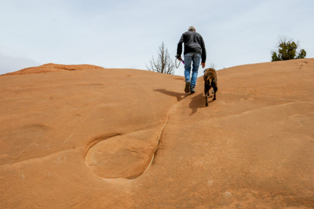
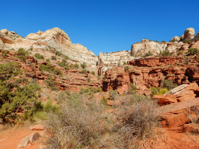
Grand Wash Trail and Cassidy Arch were the two featured hikes for the TWT team while in the park. We decided to run Grand Wash up to and past the narrows so we could have time to do the somewhat steep uphill to the Cassidy Arch. We did both and completely enjoyed our time here. The narrows weren’t the most interesting of canyons but the beauty of the hike up the canyon cliffs to see the arch was spectacular. The arch itself proved a bit elusive as when we got to the top which was red slickrock, the arch was below us. We weren’t alone looking up to find it.
Dry Wash, Peekaboo, and Spooky Slots/Lower Calf Creek Falls – 5/6-7
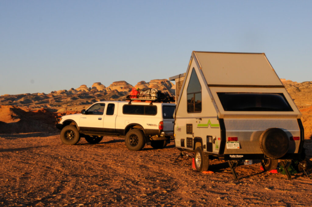
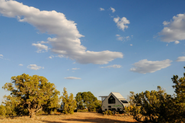
Our next destination was Hole-in-the-Rock Road about 50 miles south and 10 miles east of Escalante Utah, where boondocking is plentiful with access to some amazing fun. We spent three nights here. It was quiet and the stars were the best we’ve seen.
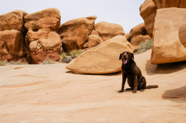
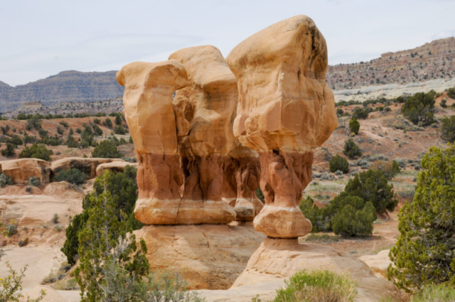
Our first trip down the washboard road was to Devil’s Garden, a Toohey friendly hike. We learned to remove our bikes from the top of the car after we returned to camp and found we were close to losing the entire roof rack from the heavy vibrations of the road. Good lesson.
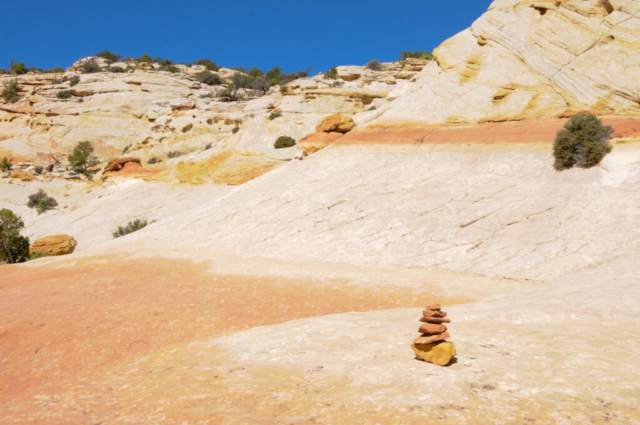
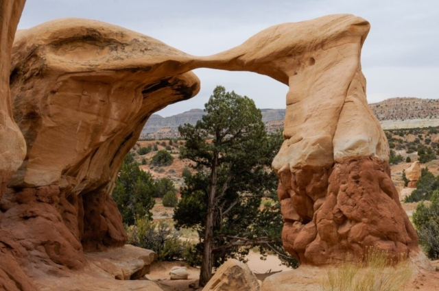
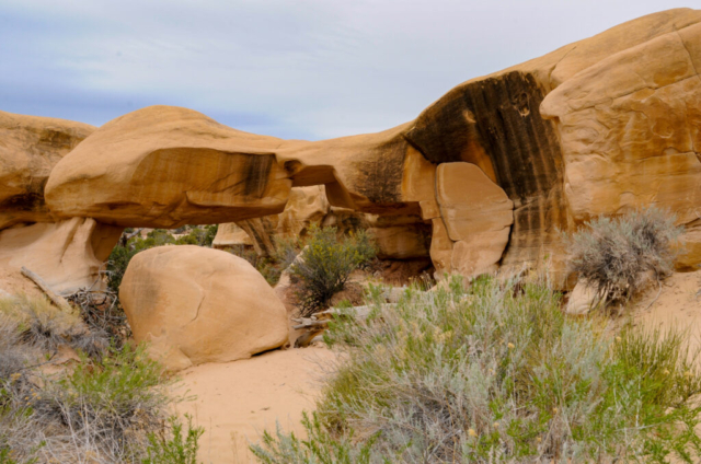
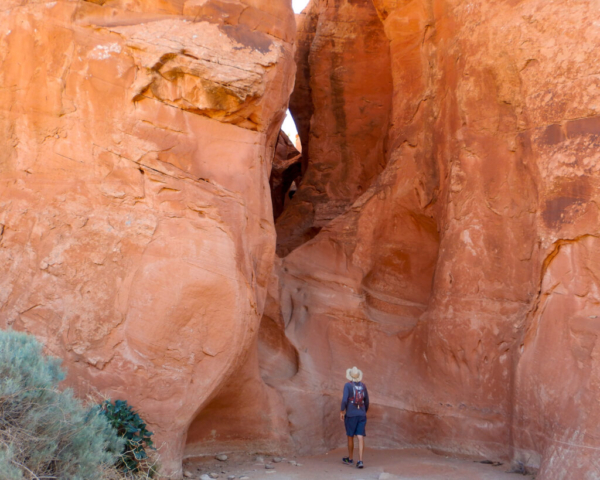
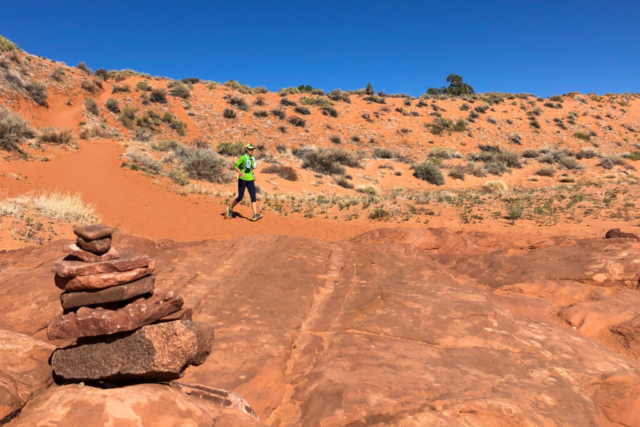
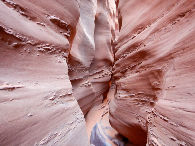
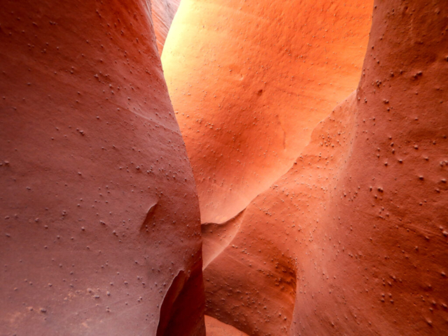
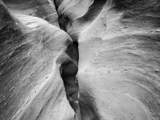
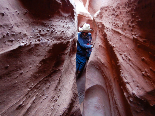
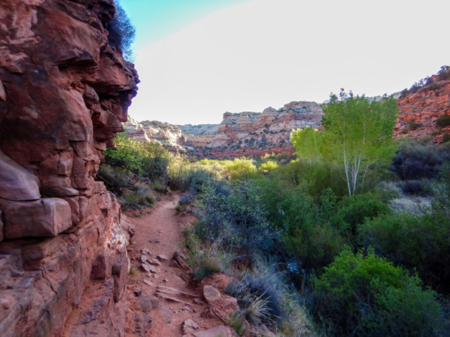
Our next destination, with bikes removed from the roof rack, was the famous Peekaboo/Spooky slot canyon loop. The team likes to start popular hikes early to beat the crowds and heat so we prepped breakfast of oatmeal, milk, nuts, and date concoction the night before. We quickly jumped into our canyoneering attire and set off for the 25-mile drive to the trailhead. These 25 miles rattled everything but we made it in a little over an hour and without losing anything obvious. There were no other cars in the Upper Dry Fork trailhead parking lot so we chose the spot with the most cooling shade for the dog who will be protecting the team assets. With him comfy and emotional cookies scattered along his bed, we set off. We ran all we could along the trail which included most of the first mile as it crossed the low desert scrub into a loose sandy trail, then it dropped into the wash after about a half a mile. From here, you come up on a difficult impassible drop in the wash so we followed the cairns up and around before reentering the narrows section of Dry Wash. We followed that as it tightly wound, turned with some sections runnable but others stacked with ankle breaking rocks. This narrows opens at the intersection with the Lower Dry Fork trail and the featured hole to enter Peekaboo slot.
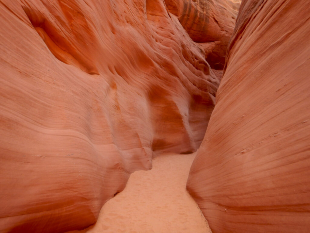
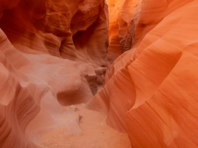
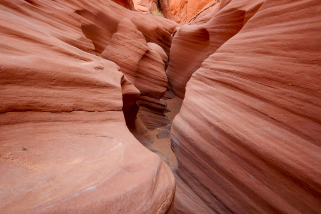
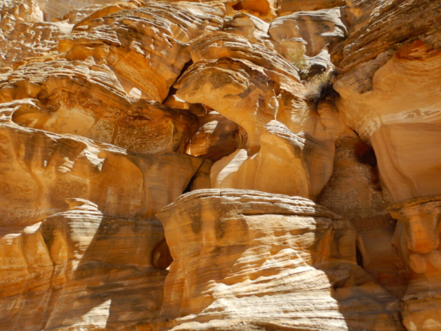
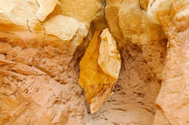
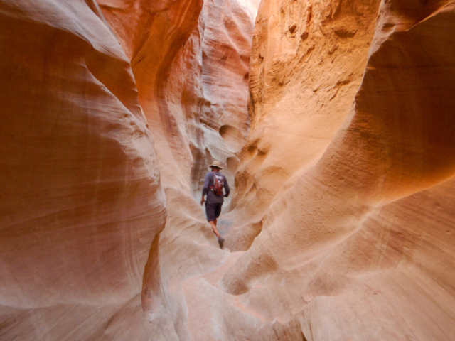
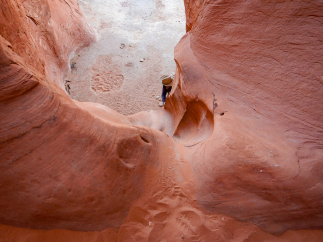
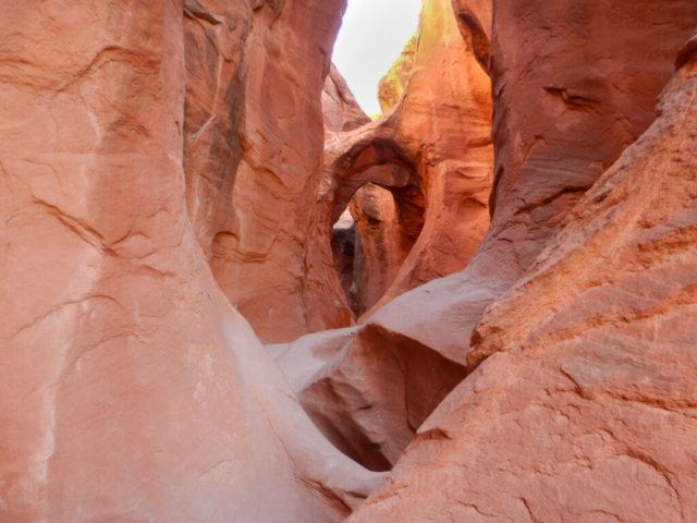
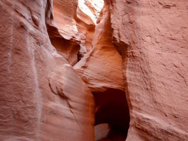
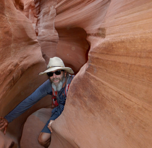
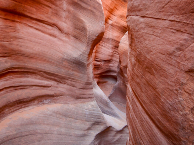
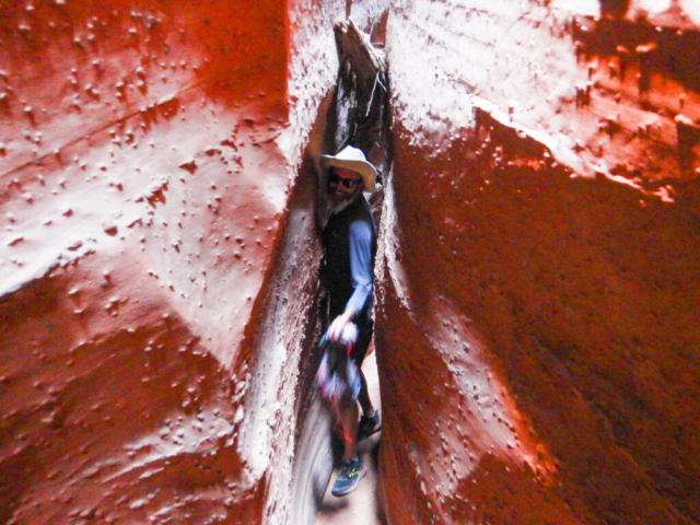
The entrance is a scalable 12-foot high scramble that has some small foot and hand holds. Lysette went first then offered me her right foot to help me up which was nice. The slot canyon has tight turns, small arches, and elements that you have to squat, squeeze, and bend your way through. It was a fun curvy tight canyon with really high walls and narrow passages.
You exit that and locate the cairns that take you over the loose sandy desert in search of the entrance to the Spooky canyon. We easily found it and headed inside passing a couple with the dude component offering and then playing his flute as we moved on. The flute sound of Native American music was a nice added dramatic element to the experience. The canyon wound through tight spaces until we came upon three friends trying to figure their way down a significant drop. The canyon was filled with large boulders requiring some scrambling. At the end was a good 10-foot drop that made the group in front of us uneasy as well as us as we watched them navigate it. One of the girls appeared really nervous and finally slipped halfway down, scraping herself along the rocks before her boyfriend convinced her to continue to slide promising to catch her. They were successful but a little rattled as they set off.
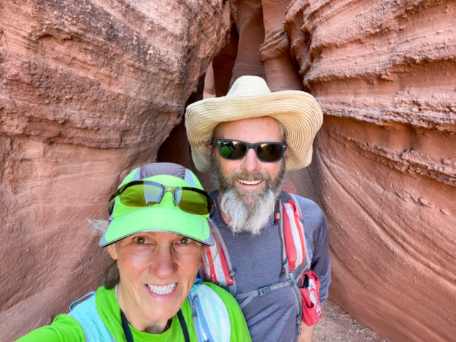
Now for us. I went first and after studying it for what seemed like forever, decided to ease my way as low as I could then let gravity pull me to the canyon floor. It was dark, making this decision more difficult, but it seemed like the only way, so I did it. Lysette’s turn. She and I worked out a system where she would lower herself down and then with my support, drop to the ground. It all worked with no strains or broken bones. We continued on through the tight walls, removing backpacks, shuffling along sideways as the tightest parts are reportedly a thin 10 inches. Of importance is there is a recommended direction of travel for this canyon as passing isn’t an option. We were out of the slots before any other hikers approached, so our day was good. We exited the canyon, posing for a finisher’s selfie and started for home. We were relived to have made it as this, although considered an easy canyon, was at the top of our ability in terms of comfort. Our run back was quick but hot. We made it to the truck where Toohey was caught sleeping on duty, which was fine to see. After a quick change, lots of water, we set off back down the washboard road for camp.
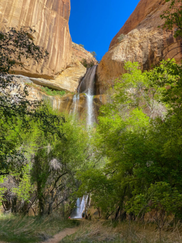
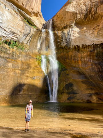
The next hike on this stop was Lower Calf Creek Falls. This 3 mile out and back trail follows the Lower Calf Creek up to the 150 foot flowing water falls, something unnatural in this desert environment. What we enjoyed as we got closer to the falls and creek was a oasis in the desert canyon. The creek was packed with a variety of trout from brown to rainbow that were easily observed from the banks. The falls were amazing. Our effort to get there early paid off as the place was packed as we returned to the truck.
Bryce Canyon National Park – 5/9
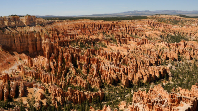
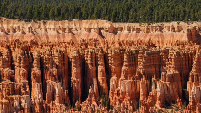
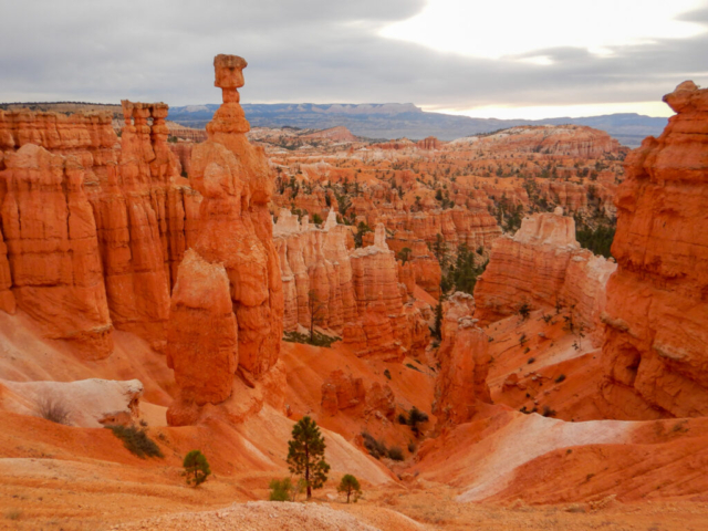
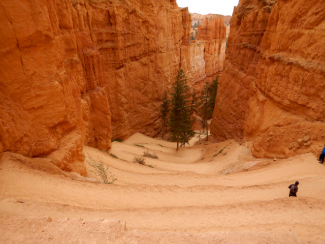
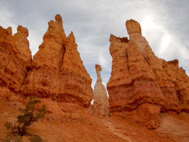
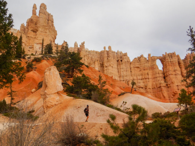
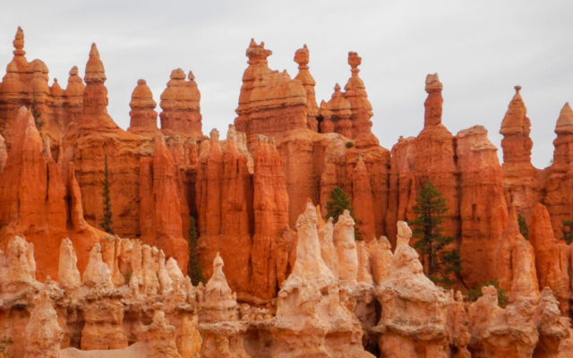
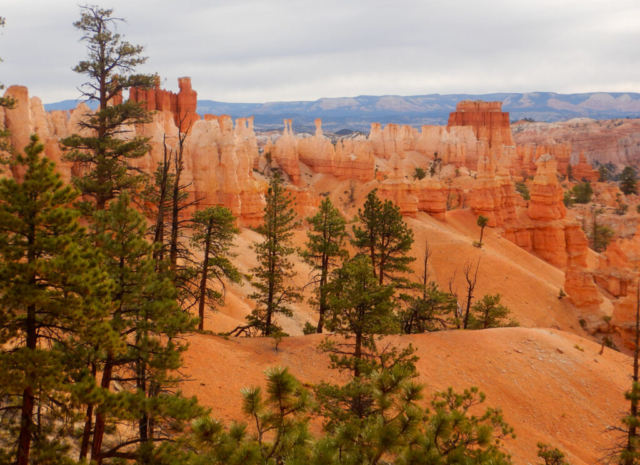
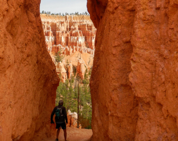
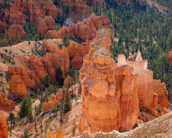
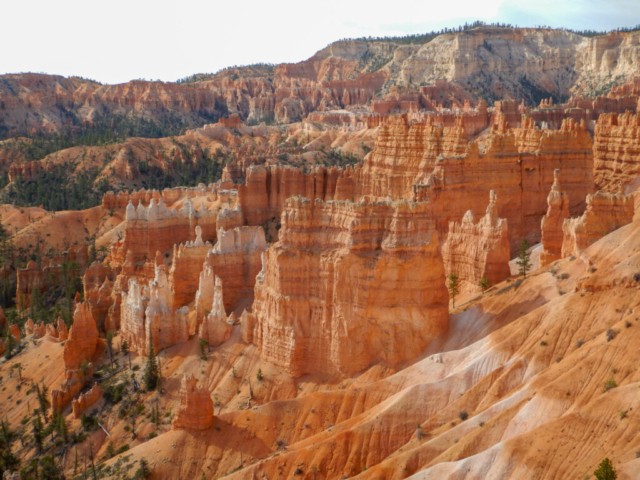
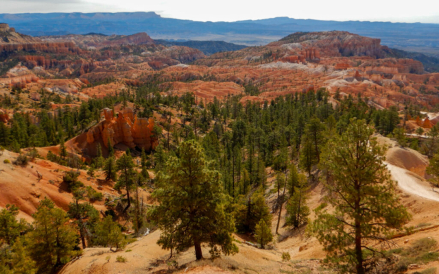
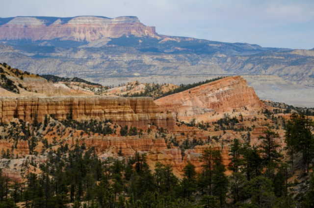
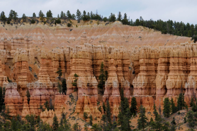
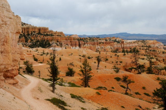
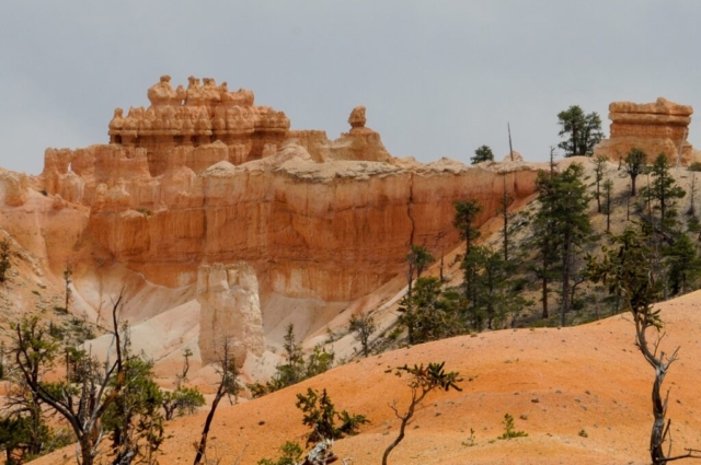
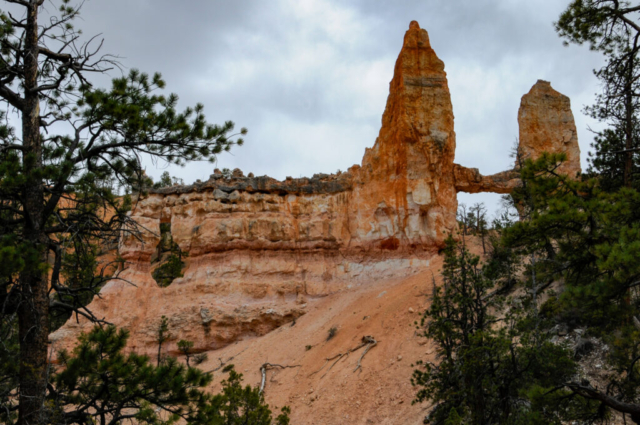
If you are the type of person who giggles at phallic symbols, then you’ll find this place hilarious. Bryce Canyon National Park is a ridge over 8,000 feet that mostly overlooks a canyon with rows upon rows of weather worn red to white statues of earth called hoodoos. There are a number of trails that run down into the hoodoos, up and down, zig zagging along, and are somewhat edgy. There are windows, bridges, interesting trees and all kinds of whatnots and heretofore’s. We chose to run Navajo trail one way as the Wall Street side was still closed for winter break. Navajo lined up with the Peekaboo Loop to add to the fun. We did this early in the morning before the normal national park crowds showed up as these two are of the most popular trails in the park. This strategy turned out to be a good choice as we saw few others along the run. It was a spectacular place to experience.
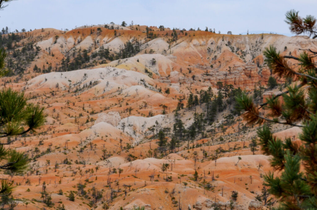
After the run, a short walk with Toohey along the dog approved rim trail, and some late morning breakfast, we left from camp and did the Tower Bridge/Fairyland trail. This wasn’t quite as hoodoee but was still fascinating with colorful earth landscaped area featuring the quintessential Bryce downhill experience.
Honorable Mention:
- Toad Stool trail
- Paria Township drive
- San Rafael Swell, Window Rock
- Highway 24 and Highway 12, the whole damn thing
- Grand Staircase, Escalante, Grosvenor Arch
- Escalante, the cool little town where we stayed twice
- Canyons of Escalante RV Park where we stayed twice
- The Outfitters Cafe, the pizza, Escalante, the cool little town
- St George, Utah, Snow Canyon Park bike loop
Update: We cleaned and restocked in St George, Utah then moved to our current spot in Cathedral Gorge State Park just outside the small town of Panaca, a few miles inside the Nevada state line. Utah continued to amaze us with so much variety but the mystery of what lies ahead is intriguing enough for us to be motivated to carry forth. Until our paths cross again….
Comments
6 responses to “Highlights from our Adventures in the Desert Southwest”
Peekaboo and spooky!!! So fun
Wow, what a whirlwind of activity you all had. It’s hard to comprehend how much hiking there is to do in that one small corner of the earth. I can’t wait for our next opportunity to get at it down there again.
Well. That was capital! (see what I did?) I’m glad you survived Skutumpah Road – I didn’t finish the vid because I was too nervous watching. Also, I’m wondering if I could get some emotional cookies lined up on my bed…
Kemp, these are absolutely AMAZING! Glad to see your’re happy, healthy and having a life full of adventures!!!! Just awesome:)
gorgeous photos and adventures! loved all of this.
Kudos to the photography department. These shots are incredible!