April 16-19, 2021
I recently read the book, Under the Banner of Heaven, by John Krakauer. This book was recommended by a frequent reader of the blog so I bit after previewing the free sample. It explores the history of the Church of the Latter Day Saints while using their past as a pivot to discuss current events and activities of the church. It provides insight into the current Fundamentalist sect of the LDS that have been excommunicated from the mainstream church. The fundamentalist disagree on several critical points to include plural marriage aka polygamy, which wasn’t an adopted practice until they moved to Utah. One of the other revelations provided to church leaders by God was that violence was okay if God approved it. To put this in historical context, the early Mormons needed to justify their bloody violent response to the acts of violence being delivered against them by the “Gentiles” in various communities where they tried to live.
The Mountain Meadows Massacre was one of the bloodiest of conflicts resulting in a turning point in the mainstream church eventually conforming to Federal Laws. Mormons, fighting any and all involvement by the US government to prohibit their plural marriage lifestyle, sought to eliminate anyone who opposed them. Simultaneously, non-Mormon settlers were moving through Utah in large numbers heading west to California. According to the book, church leaders used heated rhetoric tone throughout the region to rally the congregation, other settlements, and local native American tribes to kill off those traveling through, fearing they might be government agents. Posing as Native Americans, a group of Mormons led an all out assault on a peaceful group of immigrants passing through Utah from Arkansas. After failing to out muscle them, they came in peace and told them they would securely pass them through the land if they all agreed to lay down their weapons. Soon after agreeing to the truce, the Mormons killed all the travelers including woman and children over a certain age. The dude who eventually took the fall for this was a guy named John Lee who was a mid-level commander. His plea in his second trial was that he was following orders from the leaders to include Brigham Young himself. John Lee would later be convicted of the crime and suffer death by firing squad.
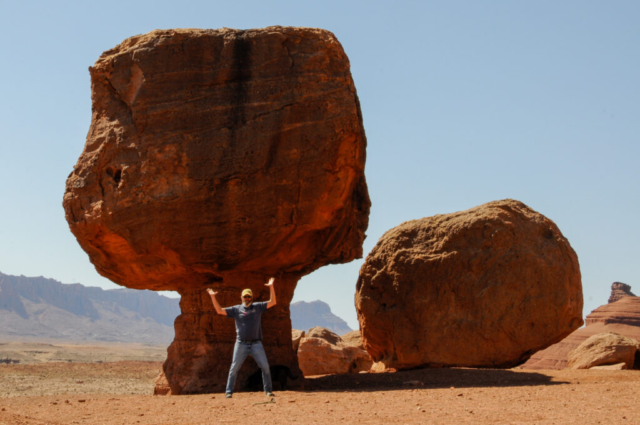
The relevance to this rant of a history lesson is that this John Lee character is the one who Lee’s Ferry is named after and whose wife Emma continued the operation with future husbands. Initially they operated the ferry service which was the only passage across the Colorado River. The ferry became obsolete with the construction of the Navajo Bridge making automobile travel possible. Lee’s Ferry now serves as the entry boat ramp for rafting the Grand Canyon and more important, the camp for a few days for the Travel with Toohey team or modern day pioneers.
Travel Journal
We left the Grand Canyon along Highway 64 which heads east along the south rim. We pulled off at several viewpoints along the route, each one as spectacular as the next. We also learned of more hikes into the canyon which appear less traveled and a possibility for future visits.
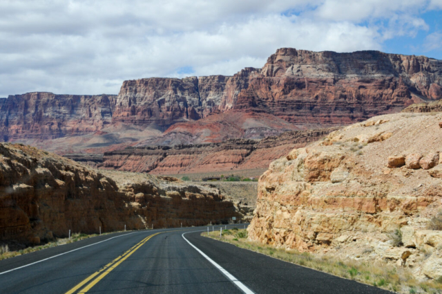
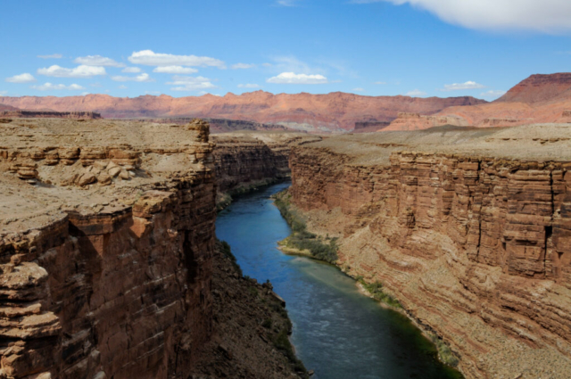
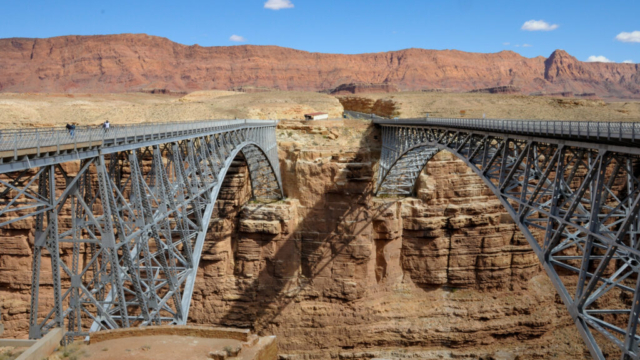
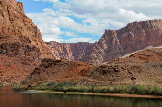
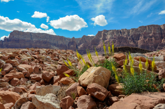
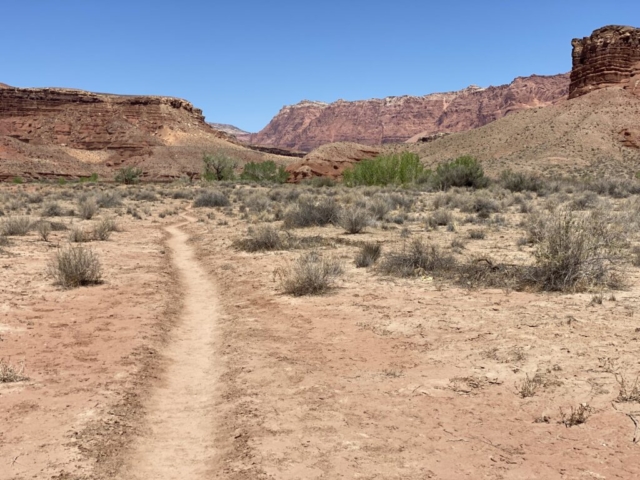
The route took us into a Navajo Reservation and the small town of Cameron where we stopped for fuel at the opposite end of the roundabout situated at the junction with highway 89. The drive moved slightly north from Cameron along 89. The arid desert drive through Navajo Country presented high bluff red rock features called the Vermillion Cliffs. We passed the right turn towards Page and then crossed the Navajo Bridge spanning the deep Colorado River gorge. The original twin Navajo Bridge still exists serving now as walking bridge, paying tribute to engineering feat of connecting the two sides of the river.
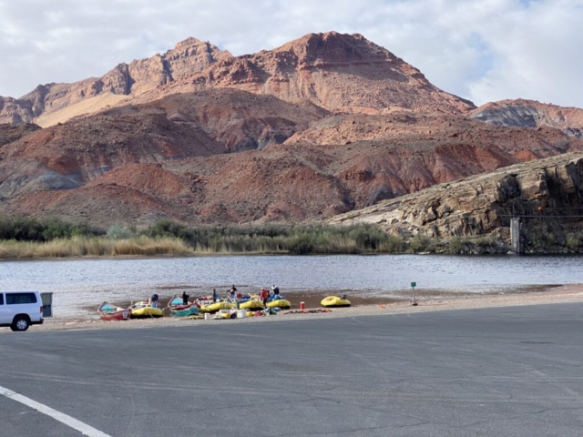
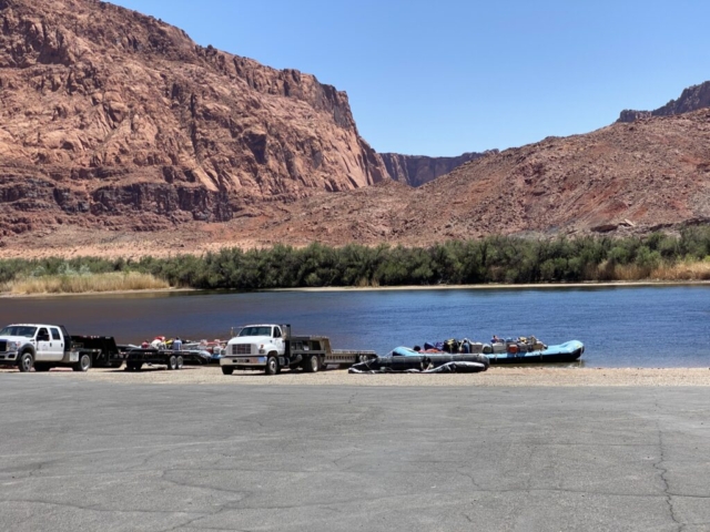
The next right turn is four miles through interesting desertscapes to the end of the road where we found Lee’s Ferry. The place is full and active with boat ramps for staging multi-week float trips, day trips kayaking the river from as far up river as the dam, fisherman in boats and waders, and hikers.
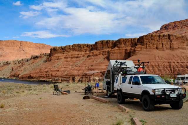
We quickly found the campground which is a first-come first-serve camp. We found a site and paid for three nights. The campground has two loops off the entrance. The upper loop where we stayed had a center area for large groups of tent campers and a bathroom building with running water. All the sites on the lower loop were individual sites, mostly used by RV’s and trailers.
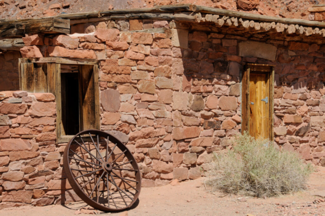
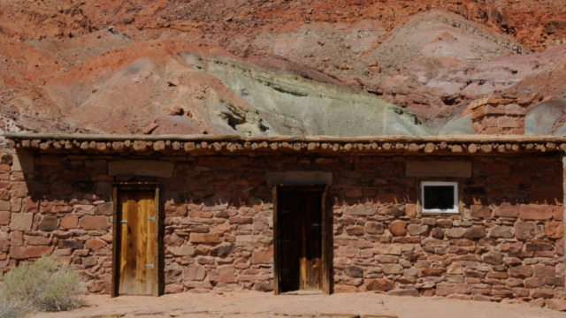
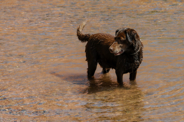
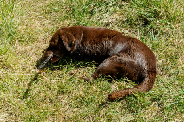
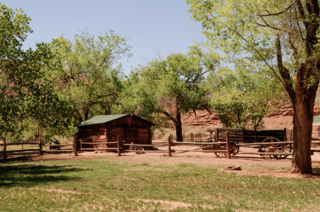
After setting up camp, we drove down to the end of the road to check out the funtivities. We did a short hike through some historic buildings then along the river. We checked out the Spencer Trail goes straight up the mountain. We saw a couple heading up and sort of watched to see if we could tell where the trail went. They didn’t make it very far as they felt really exposed. We found a short trail to the river to let the cutest member of the team swim, chase sticks, roll in the river grasses, and just be a dog. We walked to the boat ramp where we saw a large private rafting group of about five boats staging with three-weeks worth of gear being prepped to stow for the journey. We talked with three ladies who were a part of the team who assured us that they had enough adult beverages to get them through.
The night was enjoyable at camp where we talked to a pair of school teachers and their children as they had just picked up their customized schoolie (school bus modified into a camper) from an operation in Las Vegas, www.mybushotel.com, and were enjoying a two-week trip back to their home in Northern California. The campground was somewhat festive, people there for the few hikes, just passing through, float trips, but whatever, everyone enjoyed the space with its amazing views.
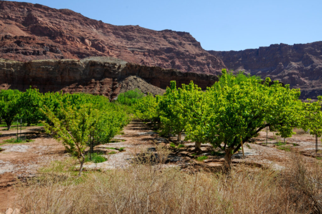
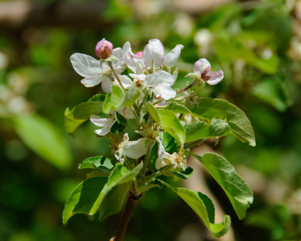
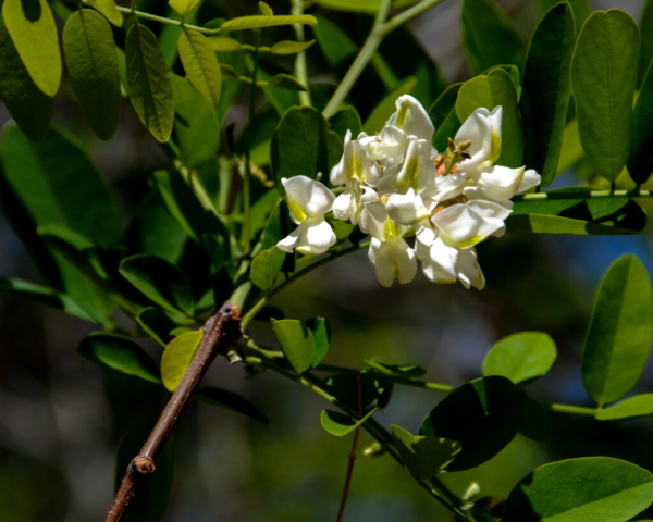
The next morning began with a run. Lysette and I started off together but she opted for the run back along the river and I chose a detour through the Lonely Dell Ranch. The back of the ranch connects with BLM land that follows Pariah Canyon river for some 40 plus miles. There is an orchard on the old homestead with fruit and nut trees in full spring bloom. Once you move past the main structures and into a wide open area you see older farm structures where they used to farm livestock and then after you pass a corral you pass into the Pariah river bed and BLM land. On my way back we met as we both returned to the main road at the same time and walked back to camp. We had a nice breakfast and met some new neighbors enjoying a fun conversation.
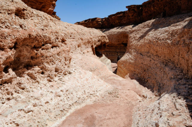
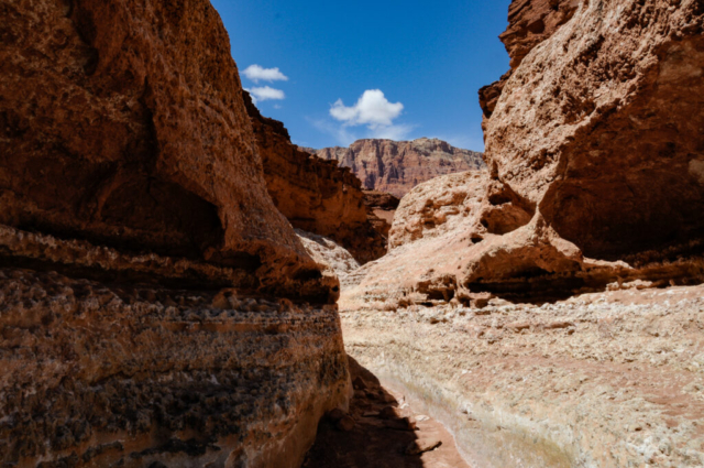
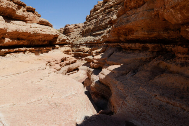
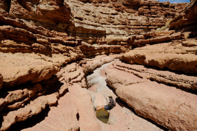
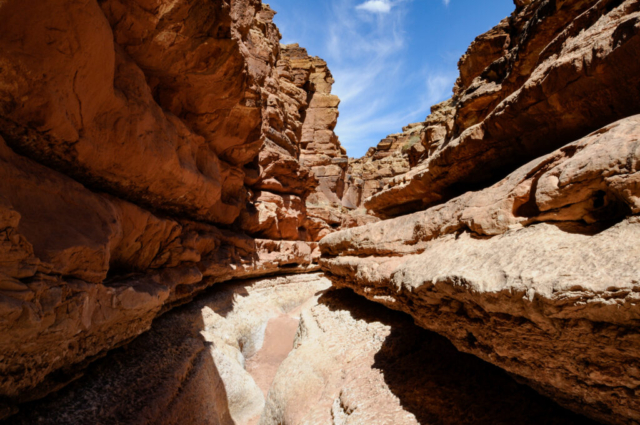
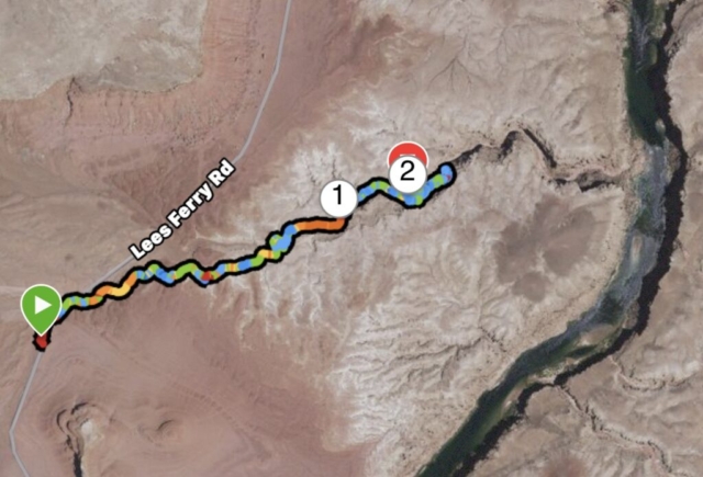
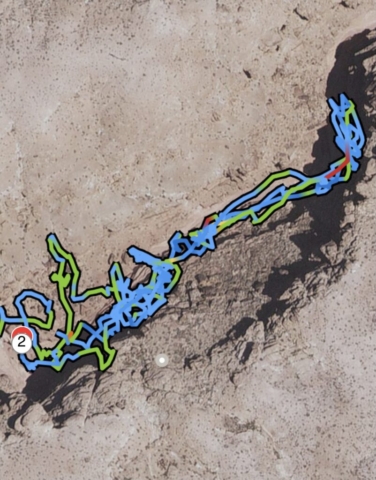
The afternoon funtivity began with a hike called Cathedral Wash which starts as a shallow sandy arroyo then becomes a slot canyon as it makes its way to the Colorado River just a few miles from camp. It is advertised as a 3 of 5 on the scale of difficulty, a moderate mile and a half one way hike. Shortly into the hike, we stood on top of a ledge looking down as a nice young couple with a 5 year old daughter skimmed along ledges of death, hopped up other ledges, and scrambled up a steep rock before they passed us. They might as well have been whistling Disney songs as they came up. This show certainly gave us the confidence that we could master this bit as well. So we dropped in after they exited, requiring us to slide down a few slick rocks, scrambled down some ledges and crawled along edgy places. We then got to a point where we had gone about 200 feet in 30 minutes now facing an obstacle we felt was impassible without equipment. At that point, we heard voices from above, then saw a man and several younger folks above us hiking along a trail that with little effort, bypassed all the technical difficulties we’d experienced. We decided that we needed to get out if we could. So we started technical maneuvers to get out of our complicated situation, maneuvers called things like fanny boosts and foot holds (me using Lysette’s foot as a handhold). We checked alternate routes only to be turned back several times when we honestly got scared. So we fanny boosted and foot held a few more times until alas, we made it out of our hole of hell. Of course getting the opportunity to put my hand on Lysette’s butt to push her out is always exciting especially when it is to save her from death in a deep rock crevice. We headed back to the car with lots of conversation about what we’d just experienced and the thought that we made the hike way more adventurous than we needed to, but in the end, we never made it through the slot to the Colorado.
Being a bit overwhelmed by the failed hike, we drove to see the small town of Marble City then to view and walk the historic Navajo Bridge. We retuned to camp to hang for a spell and clean up our dusty bodies then made a fire for cooking sweet potatoes and dinner. The evening was wonderful, the stars amazing, and sleep good.
As a side note, while finishing the blog we found this video of the hike that at around a minute, twenty four seconds of the video, shows us at the very bottom of the canyon being filmed from way above. Funny.
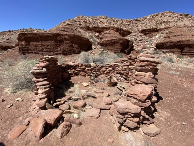
Sunshine and blue skies were overhead as we woke for the day. Activity centered on getting caught up on some blog stuff and a good breakfast before heading out. The first thing we did was a hike through the Lonely Dell homestead and orchard with Toohey. This place has a lush fruit and nut orchard watered with modern plumbing but has a history of various owners who farmed and ranched the lot with water from the Paria River. Toohey enjoyed the shady walk through the orchard and around the old buildings. One small building was used by a polygamist Mormon while another was used to house guests at a dude ranch operation. The main building on the property was a two story farm house that burned down and now only the flat dirt foundation remains and a few black and white photos. Lastly, there is a stone and wood frame one story building constructed by the last owners to use as a vacation ranch getaway, but as the sign reported, guest never really showed up. It is all now owned and managed by the NPS.
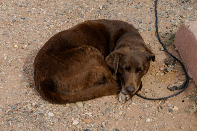
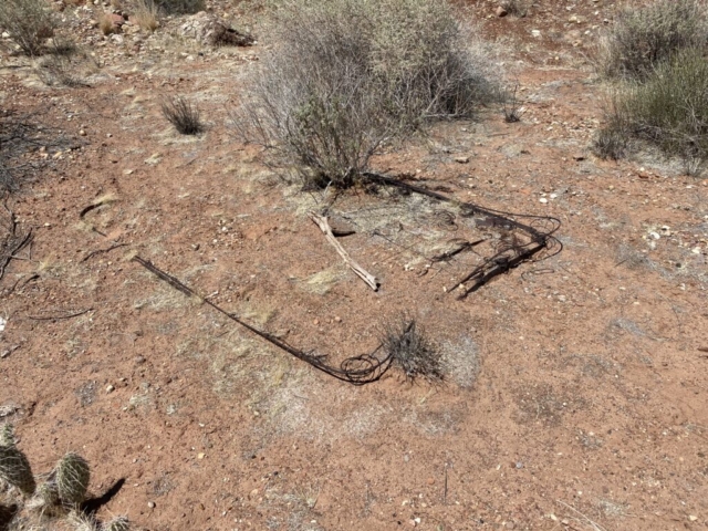
We walked back to the truck and requested that Toohey stay and protect the assets as we headed back out through the old farm to where BLM land starts along with a trail following the Paria River through the canyon. What we hiked was mostly flat and wide canyon with a couple of whoop-de-dos through dry washes and some narrow trails where the river pushed us against the red/brown canyon walls. We found one spot where the cliffs were high that had some barbed wires hanging down to the river’s edge. Could this have been an old fence line that collapsed with erosion? We speculated but the area above was dark brown uneven sloped dirt so cattle grazing didn’t seem likely. At about two miles in the trail required hiking through the river so we made the decision to turn back and hike out versus having wet sneakers.
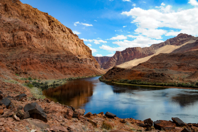
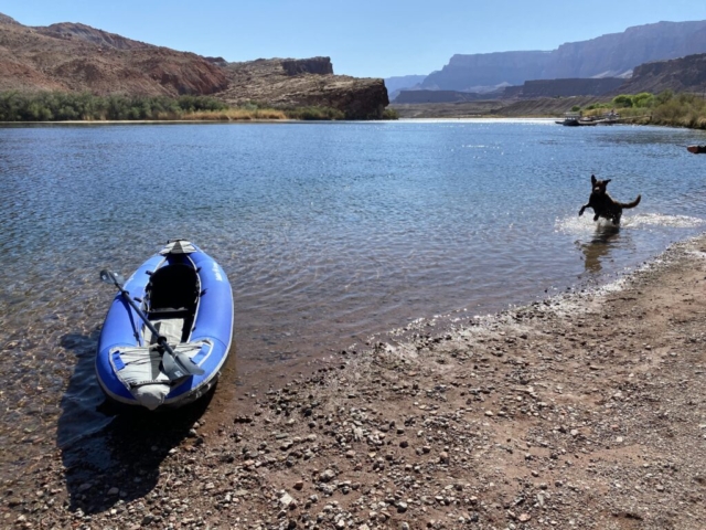
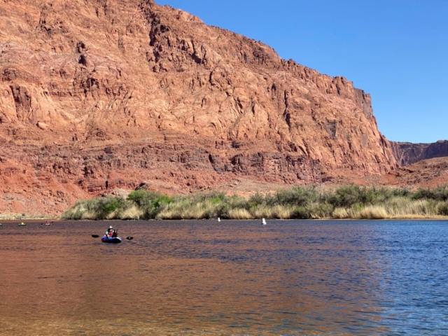
We got back to the truck with the sun bright and high overhead. We took Toohey to the river for some dog love. We spent some time debating over which boat to inflate or both and we decided on just the kayak. Toohey and I went out on the maiden voyage, paddling up river for a few miles before turning back. There was a steady stream of other kayakers, SUP’s, and motor boats coming down river from where they were dropped off. Some appeared to have camped for the night while others were out enjoying the afternoon and others fishing the float trip back. When Toohey and I got back, Lysette went on her journey in the same direction to enjoy some time on the water. We both agreed that we felt quite small sitting in the little inflatable kayak in the water with the towering mountain cliffs on either side.
Lee’s Ferry is a place where you can spend time but increase bucket list items. Doing a float trip through the canyon would certainly be one of those on the list after seeing all the energy going into those about to venture out. Our time at Lee’s Ferry was fun, a place full of history and adventure and one we are both glad we visited.
Update: We are back in southern Utah and can’t seem to get enough of this place. There is so much to do here. As of the typing of this blog, we are sitting in the RV park in Escalante where we stayed as we passed through before. Besides the shower, the best thing here is the pizza at Escalante Outfitters Cafe.
Comments
4 responses to “Lee’s Ferry”
As always, a very entertaining summary and great pics of your adventures.
The slot canyons can be very dangerous as Nancy and I found out in Arches NP. Can be very scary.
I and 10 of my “old” running friends are camping at Lower Brown’s Lake between Boulder and Torrey, Utah.
It’s right next to Capital Reef National Monument.
We have the group tent site reserved from 5-15 thru 5-20.
If you are around that general area, send me a text. Maybe hike or bike or just visit.
Carlos
It makes our day to read that Toohey enjoyed the water, and his floatie trip. You two are ok too 🙂
There’s so much to see and do, thanks for sharing.
I’m sharing each joyful experience with you 3 and I thank you for the great writing and photos! Trip of a lifetime! ❤️??
I’m glad to finally be caught up with the blog – it’s much easier keeping up with things on instagram! 🙂
Great to know that the adventures continue and that you all are doing good.